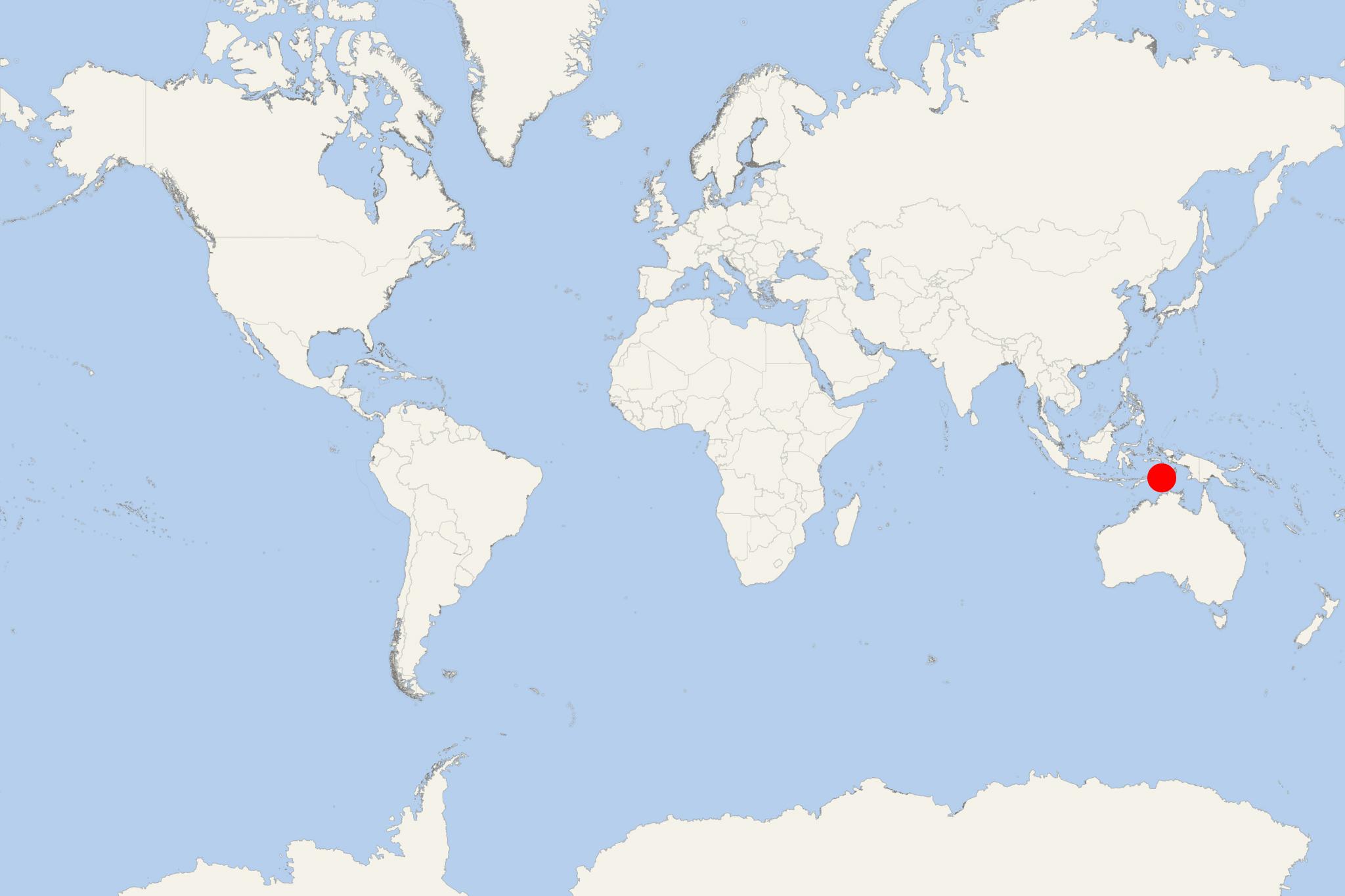
Pulau Selaru Island Indonesia (Tanimbar, Maluku)
Cruise Port schedule, live map, terminals, news
Region
Australia - New Zealand - Pacific Ocean Islands
Local Time
2024-04-19 05:38
 80°F
80°F 26.6°C

 Mod. breeze
5.7 m/s
 83 °F / 29 °C
 79 °F / 27 °C
Pulau Selaru Island is one of Tanimbar Islands group in Southeast Maluku (Indonesia). The island is located south of Yamdena (Tanimbar Islands' largest) and is one of the 92 officially listed Indonesian Islands.
Tanimbar Islands (aka Timur Laut) are a group of around 65 isles in Indonesia's Maluku province, the largest of which are named Selaru, Larat, Fordata, Nuswotar, Maru, Molu, Seira, Selu, Wuliaru, Yamdena and Wotap. Their total population is around 105,000.
Geographically, the northeast Tanimbars are still part of Lesser Sunda Islands. Kai Islands and Aru Islands are to the northeast, while Babar and Timor are to the west. The islands separate Arafura Sea and Banda Sea. Tanimbars' total land area is approx 5440 km2 (2100 mi2).
The largest of the group (Yamdena) has along its eastern coast a range of thickly forested hills, while the western coast is lower. The main town is Saumlak,( Yamdena's southern coast).
