Barbuda Island (Codrington)
Cruise Port schedule, live map, terminals, news
Region
Bahamas - Caribbean - Bermuda
Local Time
2024-04-26 01:58
 80°F
80°F 26.5°C

 Mod. breeze
7.3 m/s
 81 °F / 28 °C
 79 °F / 26 °C
Port Barbuda Island cruise ship schedule shows timetable calendars of all arrival and departure dates by month. The port's schedule lists all ships (in links) with cruises going to or leaving from Barbuda Island, Codrington. To see the full itineraries (ports of call dates and arrival / departure times) and their lowest rates – just follow the corresponding ship-link.
| Day | Ship | Arrival | Departure |
|---|---|---|---|
| 1 December, 2024 Sunday | |||
| 6 December, 2024 Friday | 07:00 | 18:00 | |
| 15 December, 2024 Sunday | |||
| 29 December, 2024 Sunday |
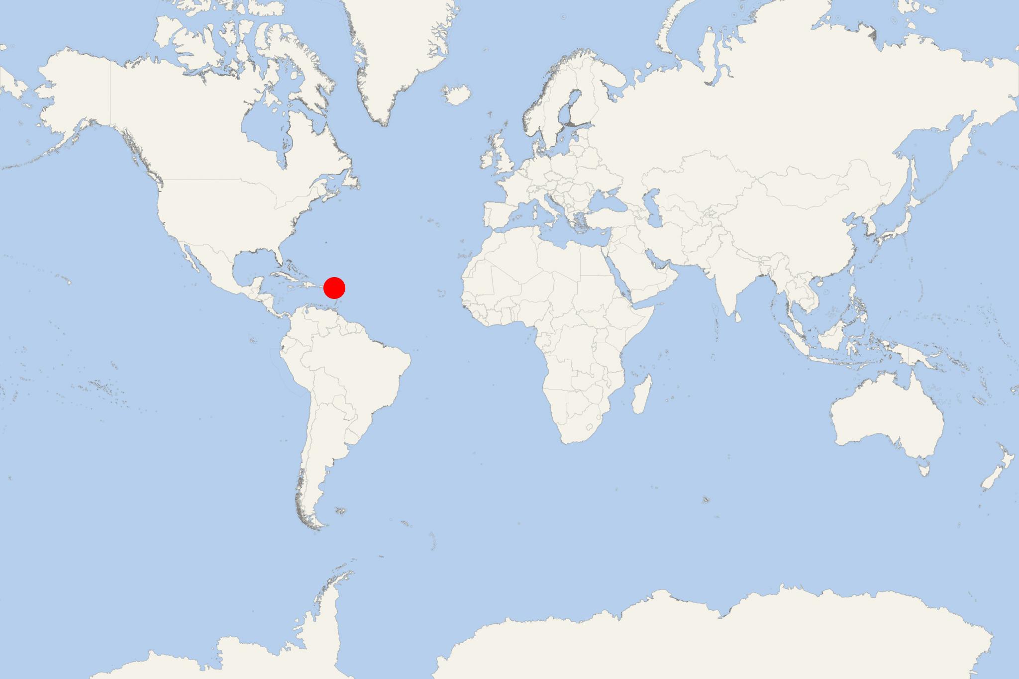
Barbuda Island is located in the Eastern Caribbean and forms part of the twin-island country Antigua and Barbuda. The island covers a total area of approx 161 km2 (62 mi2) and has a population of under 2,000. Most of the inhabitants (around 1,000) live in the capital (largest) city of Codrington.
Barbuda lies north of Antigua, in the middle of Leeward Islands. To the south are Montserrat UK and Guadeloupe islands, and to the west and north-west are St Kitts, St Barths, St Martin, and Nevis.
Cruise ships to Barbuda Island dock (anchor) at Codrington - port town (only settlement) on the western coast. However, for many ships, this port of call is mostly a "beach day" stopover, which includes anchoring near the coast and passengers tendered ashore and back via the ship's tender boats.
Barbuda Island is mostly coral limestone with very little topographical variation. Its "highlands" area (on the eastern side) consists of hills rising up to 38 m (125 ft). Still, most of the island's territory is very flat, with a lot of lagoons found in the northwestern corner.
The island is home to Frigate Bird Sanctuary, located in Codrington Lagoon. Other notable points of interest include the Indian Cave (containing ancient Amerindian petroglyphs) and Highland House (18th-century home of Codrington family).
The climate and geography of Barbuda Island are conducive to tourism. Many tourists are attracted by the beaches of the island. Major activities include snorkeling, swimming, fishing, caving, and a bird sanctuary. Just a couple of operating resorts are situated on Barbuda, and the rest are abandoned due to difficult infrastructure, poor management, and hurricane damage.
The Antiguan racer is among the world's rarest snakes. The Lesser Antilles home 4 species of racers, of which all have undergone range reductions: at least 2 subspecies are extinct and another one, A.antiguae, currently occupies only 0,1% of its historical range.
Ameiva Griswoldi (Griswoldi's Ameiva) is a lizard species in the Ameiva genus, endemic to Antigua and Barbuda and found on both islands.
- Cruise Industry

Oceania Cruises launches 100 sailings in the Caribbean & Tahiti 2024-2025
Oceania Cruises has revealed its plans for the 2024-2025 season, which will include 100 voyages in the Caribbean and the Pacific. These cruises will...
August 6, 2023 - Cruise Industry

Emerald Cruises' luxury superyacht Emerald Azzurra to homeport in Antigua 2023
Antigua Cruise Port confirmed that an Emerald Cruises-owned luxury yacht will homeport in Antigua next year. Emerald Azzurra will commence full...
October 6, 2022 - show more news
