St Kilda Islands Scotland (Outer Hebrides)
Cruise Port schedule, live map, terminals, news
Region
Ireland - UK - British Isles
Local Time
2026-01-08 07:40
 46°F
46°F 7.6°C

 Fresh breeze
8.2 m/s
 47 °F / 9 °C
 40 °F / 5 °C
Port St Kilda Islands Scotland cruise ship schedule shows timetable calendars of all arrival and departure dates by month. The port's schedule lists all ships (in links) with cruises going to or leaving from St Kilda Islands Scotland, Outer Hebrides. To see the full itineraries (ports of call dates and arrival / departure times) and their lowest rates – just follow the corresponding ship-link.
| Day | Ship | Arrival | Departure |
|---|---|---|---|
| 27 April, 2026 Monday | 07:00 | 15:00 |
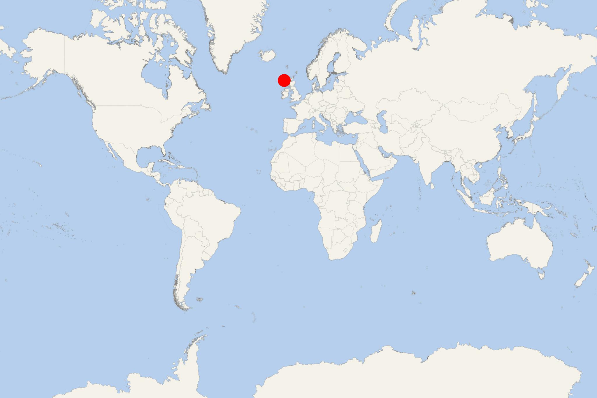
St Kilda Islands are part of an archipelago located approx 64 km (40 mi) northwest of North Uist Island (Outer Hebrides, Scotland) in the North Atlantic Ocean.
These are Outer Hebrides' westernmost isles. The largest of them (Hirta Island) has UK's highest cliffs (430 m / 1410 ft). The isles Boreray, Dun and Soay are also often visited by tourists.
- Hirta Island has land area 670 hectares (2,6 mi2), no population (uninhabited) and highest point 430 m (1410 ft).
- Boreray Island has land area 86 hectares (0,3 mi2), no population (uninhabited) and highest point 384 m (1260 ft).
- Soay Island has land area 99 hectares (0,4 mi2), no population (uninhabited) and highest point 378 m (1240 ft).
St Kilda Islands are all owned by National Trust for Scotland (conservation organisation). In 1986, the archipelago was designated World Heritage Site (one of the country's all 6).
On Hirta Island there is a small military base. Volunteers work here during summer months, mainly restoring ruined buildings.
- Cruise Industry

Saga Cruises amends Spirit of Adventure maiden voyage due to Scottish restrictions
Saga Cruises had to amend the maiden voyage of their new ship Spirit of Adventure due to Scotland's lockdown restrictions. The ship is scheduled to...
July 17, 2021 - Cruise Industry

Saga announces Round Britain cruises for summer 2021
Saga Cruises launched the summer 2021 UK program with 4 all-inclusive itineraries to choose from. "Great British Isles Adventure", "Northern Isles...
March 29, 2021 - Cruise Industry

Hurtigruten’s Valentine’s Day cruise promotion
Hurtigruten announced the company's 2nd annual North America “Suites for your Sweet” promo offering an additional 10% off per person with...
February 10, 2021 - Accidents

Hurtigruten introduces year-round cruises from Dover UK in 2021
The Norwegian ferry and cruise shipping company Hurtigruten will use Port Dover England as homeport / roundtrip departure port for 4 itineraries in...
June 10, 2020 - show more news
