Corn Islands Nicaragua (Islas del Maiz)
Cruise Port schedule, live map, terminals, news
Region
Bahamas - Caribbean - Bermuda
Local Time
2025-05-11 11:08
 82°F
82°F 28°C

 Mod. breeze
7.8 m/s
 83 °F / 29 °C
 82 °F / 28 °C
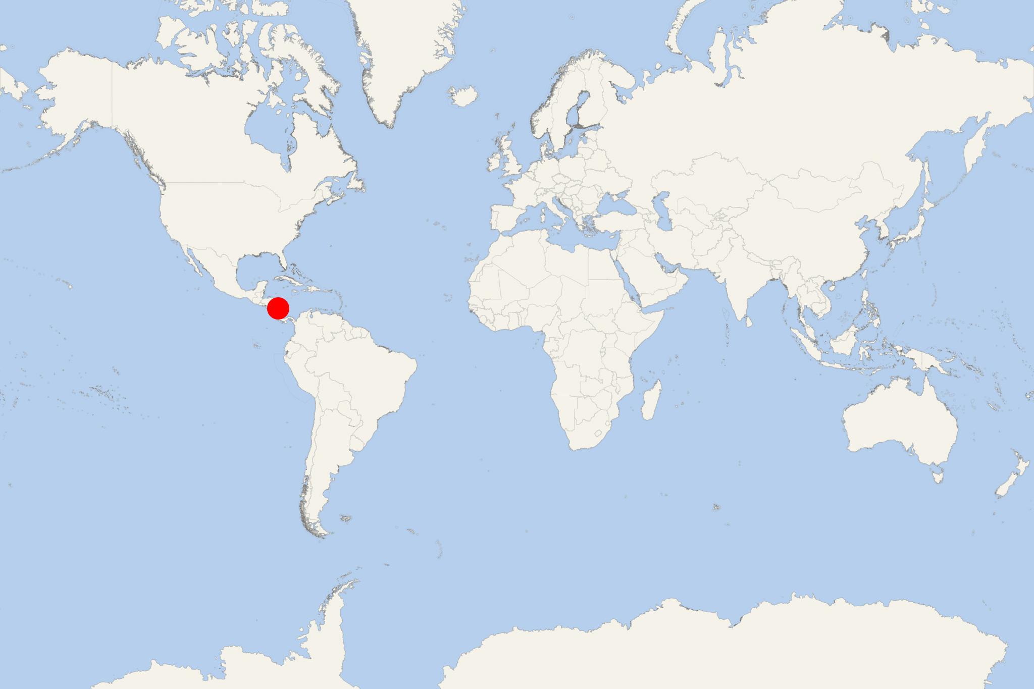
Nicaragua's Corn Islands (officially Las Islas del Maíz) are two islands located in the Caribbean Sea, approx 70 km (43 ml) to the east of mainland Nicaragua (North America).
The island group consists of Big Corn Island (officially Isla Grande del Maíz, aka Corn Island or Isla del Maíz) and Little Corn Island (officially Isla Pequeña del Maíz). Their total area is 12,9 km2 (5 ml2), with highest elevation point (Mount Pleasant Hill, in Big Corn Island's northern part) 113 m (371 ft). Little Corn Island's highest elevation (Lookout Point, in its northern part) is 38 m (125 ft). As individual land areas, Corn Island is 10 km2 (3,9 ml2) and Little Corn Island is 2,9 km2 (1,1 ml2). Climate is tropical rainforest, with a drier period (February through April) and extremely heavy rainfall for the rest of the year.
Islas del Maíz constitute one of 12 municipalities of South Caribbean Coast Autonomous Region. "Corn Island" is the municipality's official name, and the English name is used officially in the Spanish-speaking Nicaragua. Corn Islands were a British territory in the period 1655-1860, when the whole British Nicaragua region was called "Mosquito Coast". Nicaraguan annexed the territory in 1894. In a 1914 Treaty, Corn Islands were leased to the USA for a period of 99 years. However, the USA never maintained a significant presence here. The US right to use the islands remained until April 1971, after the lease was officially terminated on July 14, 1970.
Corn Islands' largest town is Brig Bay (on the west coast) with population around 4,000. Other villages are named La Loma (pop 700, south), South End (pop 800, Sally Peachie (pop 300, northeast), North End (pop 500, northwest).
Little Corn Island has total population around 500, in one northeast settlement simply called The Village (officially Carib Town). Little Corn Island is accessible by fast boats from Big Corn Island (3 or 4 times per day) and also by a small cargo ship leaving from Southwest Bay.
Both Corn Islands are served by the Corn Island Airport (located in Brig Bay) and the domestic airline La Costeña flying from Bluefields (on the Caribbean coast) and also from Managua (Nicaragua's largest city).
Throughout most of the 20th century Corn Islands' economy was largely based on coconut production. During 1960s-1970s, commercial fishing (shrimp and lobster) became the major industry. The growth in tourism throughout the whole Western Caribbean region has affected the islands.
Tourism has grown considerably, with the many surrounding coral reefs making Corn Islands a popular travel destination for snorkelling and scuba diving. The islands' marine wildlife is represented by barracudas, sharks (nurse and hammerhead), green sea turtles, spotted eagle rays.
Corn Islands Nicaragua cruise terminal
Most Cruise ships to Corn Island Nicaragua dock (anchor) at Brig Bay - port town (largest settlement) on the western coast. The following map of Little Corn Island shows names and locations of all beaches, resorts, diving and snorkelling locations.
