Dobu Island PNG (Papua New Guinea)
Cruise Port schedule, live map, terminals, news
Region
Australia - New Zealand - Pacific Ocean Islands
Local Time
2025-09-19 16:00
 81°F
81°F 27.1°C

 Gentle breeze
5.2 m/s
 81 °F / 28 °C
 71 °F / 22 °C
CruiseMapper currently has no ship schedule for Port Dobu Island PNG (Papua New Guinea)
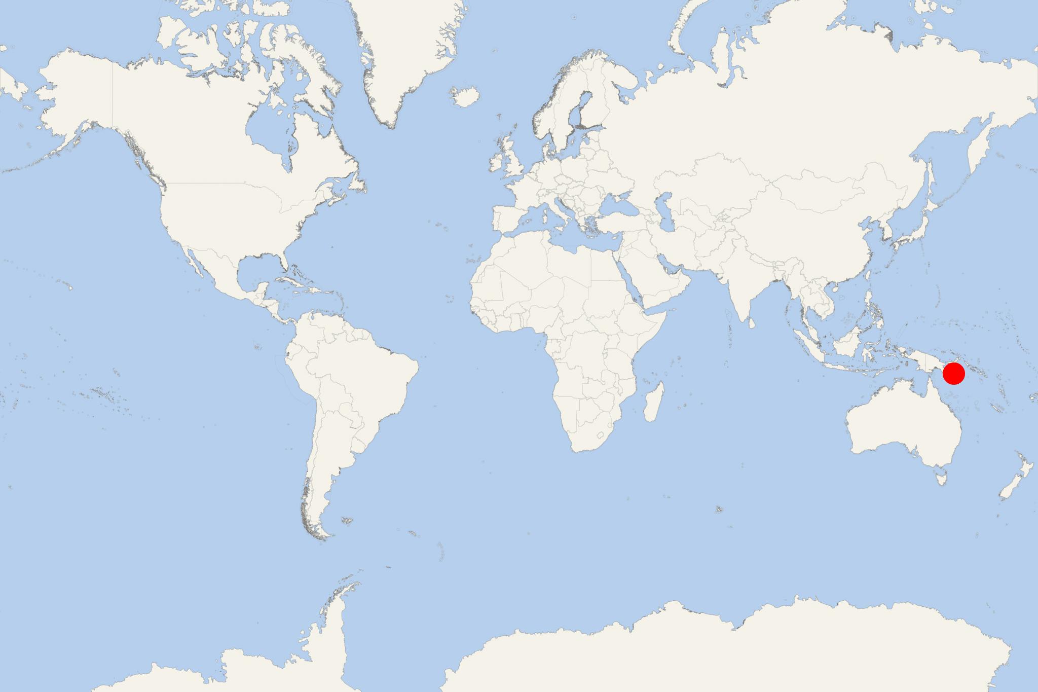
Dobu Island is one of the D'Entrecasteaux Islands PNG. It is located in Solomon Sea, between Fergusson Island (to the north) and Normanby Island (to the east-south). To the northeast are the Trobriand Islands.
The people inhabiting Dobu Island were the subject of an anthropological study. They were described as paranoid, obsessed with black magic, with extremely unusual attitudes toward violence.
