Guanaja Island (Honduras)
Cruise Port schedule, live map, terminals, news
Region
Bahamas - Caribbean - Bermuda
Local Time
2025-05-10 03:35
 82°F
82°F 27.6°C

 Strong breeze
11.7 m/s
 83 °F / 29 °C
 81 °F / 28 °C
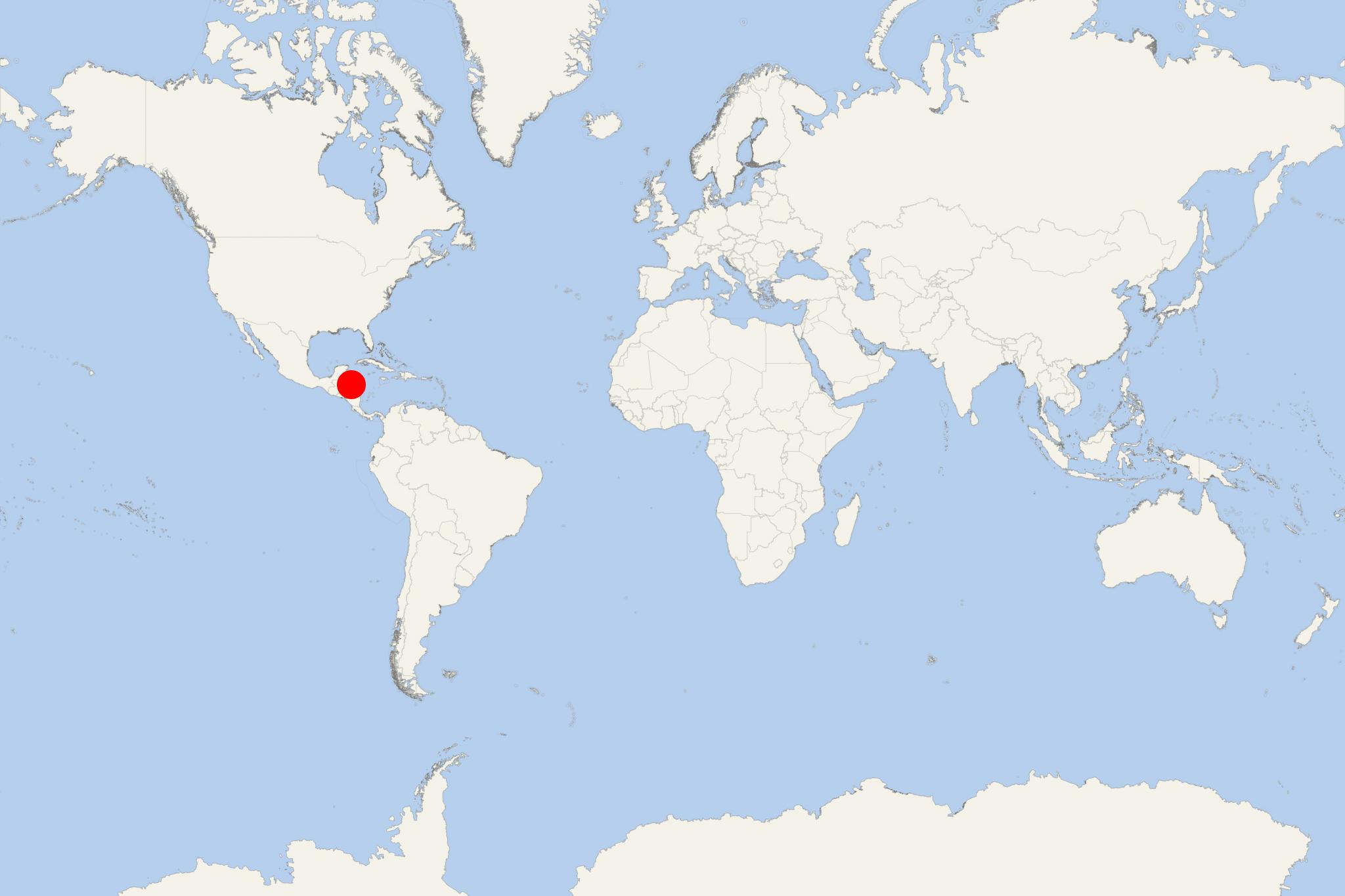
Guanaja Island is one of Honduras' Bay Islands in the Southern Caribbean. The island is located approx 70 km (43 ml) off the South America mainland (country's northern coast) and approx 12 km (8 ml) from Roatan Island.
One of the cays located to the southeast of Guanaja is called Bonacca (aka "The Cay"). On this densely populated cay live most of Guanaja's population (around 10,000). The cay is often reffered to as "the Venice of Honduras" because of the canals running through it. The island's other two settlements are named Mangrove Bight, Savannah Bight, and the smaller ones - North East Bight and East End.
The island's economy is based on fishing and shrimping. Several small resorts serve the diving and snorkeling tourism. Guanaja Island has fresh water access and features several waterfalls.
The climate is warm. The clear Caribbean waters support an extensive coral reef - part of the Mesoamerican Barrier Reef System () that is the world's second largest - after the Great Barrier Reef located off Queensland Australia's coast.
Guanaja Island cruise terminal
Cruise ships to Guanaja Island Honduras dock (anchor) at Savannah Bight - port town on the north-western coast.
Some ships may anchor near the western coast and transport their passengers via the ship's tender boats to some of the beaches there.
