Mornington Island QLD (Queensland Australia)
Cruise Port schedule, live map, terminals, news
Region
Australia - New Zealand - Pacific Ocean Islands
Local Time
2025-09-18 07:38
 77°F
77°F 24.8°C

 Gentle breeze
4.7 m/s
 86 °F / 31 °C
 75 °F / 24 °C
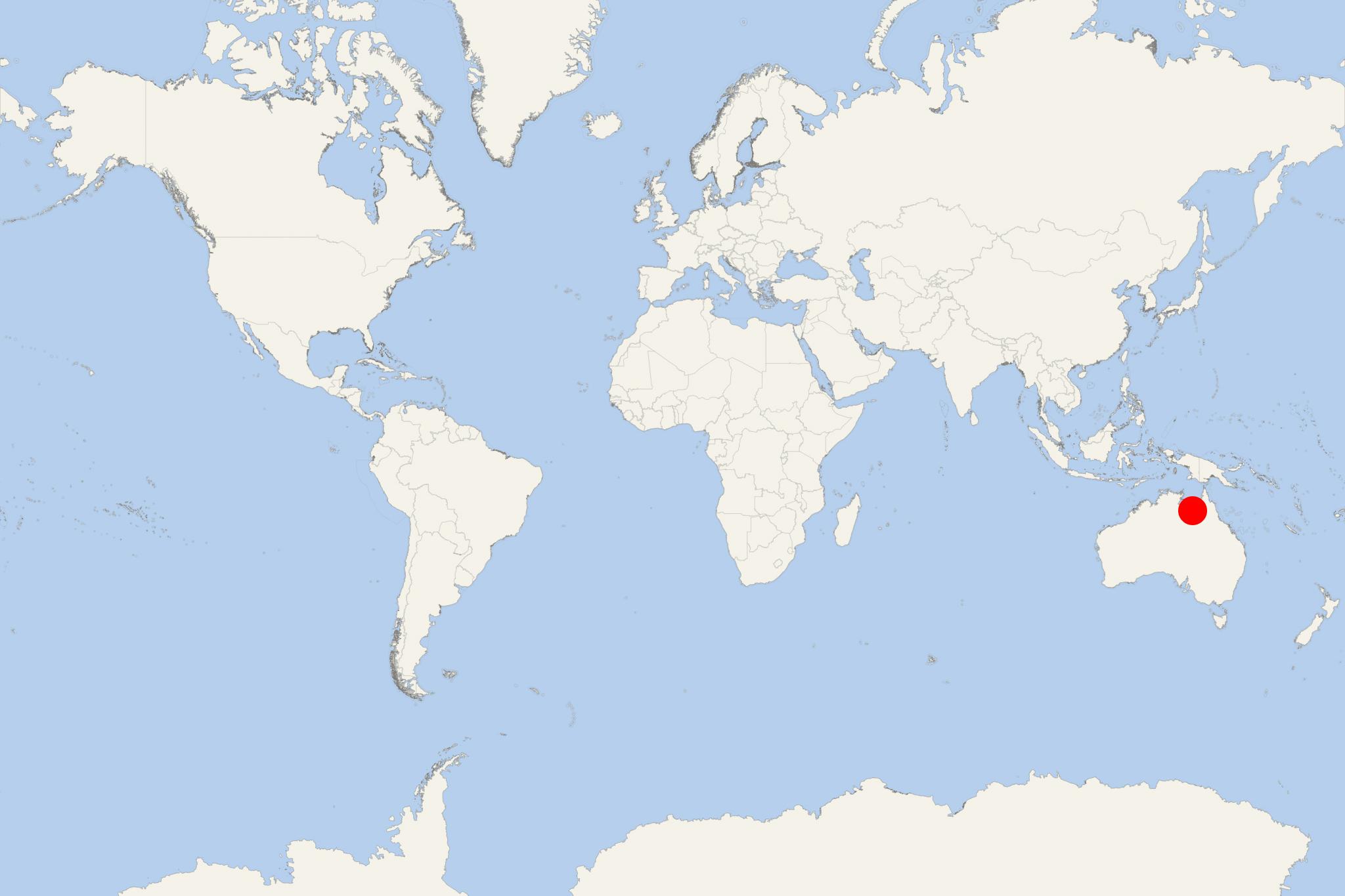
Mornington is the northernmost of a total of 22 islands forming Wellesley Islands group. Mornington is located in Gulf of Carpentaria in Queensland (Australia). The island covers a total area of approx 1002 km2 (387 ml2) and has population around 1000.
Manowar and Rocky Islands are IBA (Important Bird Area) approx 40 km (25 ml) to the northwest. Mornington is a flat island (max elevation 150 m / 500 ft), fringed by mangrove forests, with 10 estuaries, all of which in pristine condition.
The traditional land owners is the Lardil clan. The other major clan (Kiadilt) arrived from Bentinck Island in 1947, when a cyclone contaminated their water supply with salt. Mornington is also routinely hit by cyclones. Most severe damages were caused by Cyclone Harvey (February 2005). A tribe of indigenous people on Mornington Island have been communicating with Indo-Pacific bottlenose dolphins for more than a millennium. It's said they have "a medicine man" calling the dolphins and speaksing to them telepathically.
Mornington Island QLD cruise terminal
Cruise ships to Mornington Island dock at (anchor in the bay near) Gununa and transport their passengers ashore via the ship's tender boats or Zodiacs (inflatable boats used for landings).
