New Siberian Islands (Arctic Russia)
Cruise Port schedule, live map, terminals, news
Region
Arctic - Antarctica
Local Time
2025-08-23 06:57
 35°F
35°F 1.8°C

 Gentle breeze
4.6 m/s
 36 °F / 3 °C
 35 °F / 2 °C
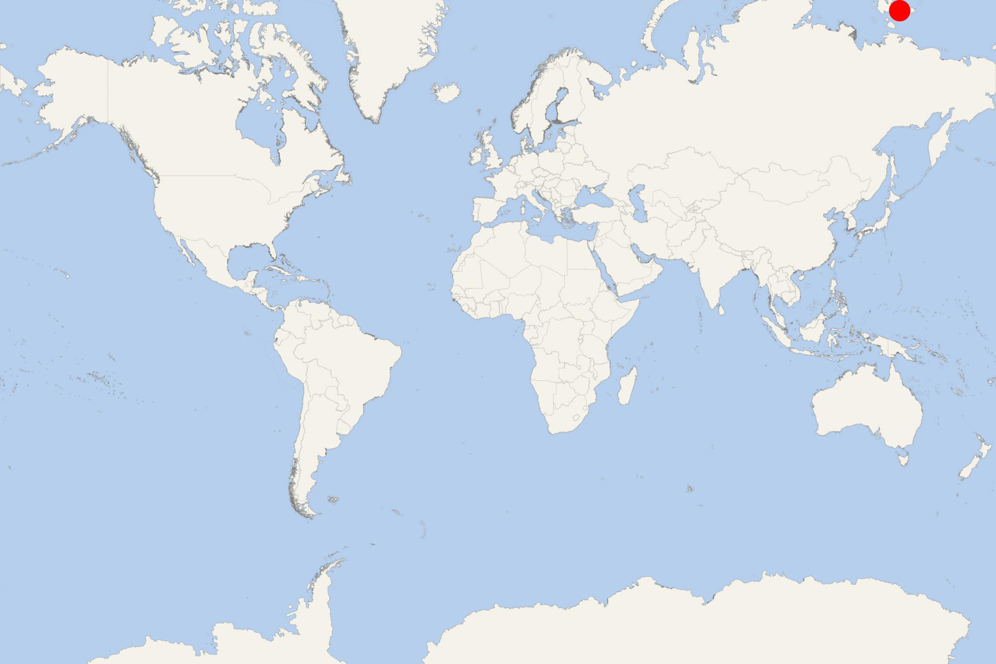
New Siberian Islands are an Arctic Russia archipelago located to the north of Siberia's coast (between Laptev Sea and East Siberian Sea).
New Siberian Islands were first mentioned by Yakov Permyakov (Russian explorer) who reached Great Lyakhovsky Island in 1712. In 1809–1810 Yakov Sannikov (Russian merchant) went to the islands on a cartographic expedition. In 1811 he reported a "new land" north of Kotelny Island, that was later named after him - Sannikov Land. In 1892, Eduard Gustav von Toll accompanied only by 3 natives traveled over the drawn by dogs, reaching the Great Lyakhovsky Island's southern coast. In the sediments there he found well-preserved fossils (bones, ivory, wood).
In September 2014, the Russian Navy re-established an abandoned since 1993 USSR naval base. The archipelago's climate is Arctic and severe, with avrg min temperatures ranging from −28 C to −31 C (-18.4 F to -23,8 F) - in January - to max temperatures 16-19 C (60,8--66,2 F). Most of their cover is permafrost and underground ice. Their surface is covered with Arctic tundra vegetation. There are also numerous lakes on the islands.
New Siberian Islands highest elevation point is on Kotelny island (Mt Malakatyn-Tas) - 374 m (1227 ft). During the Early–Middle Holocene epoch (9700 BCE), these islands were within the Great Arctic Plain - a land area of around 1,6 million km2 (0,62 million ml2) that now is submerged under the Arctic Ocean, East Siberian Sea, and Laptev Sea. Back then, the sea level was 100–120 m (328-394 ft) below the current-day sea level.
New Siberian Islands have sizable and significant fossil ivory deposits. The ivory (including mammoth bones) were found in beaches and river beds. The fossils are in an amazing state of preservation (preserved by the permafrost). Almost all tusks can't be distinguished from present-day purest ivory. There are abundant bones (even whole skeletons) of mammoths, rhinoceros, muskox. Radiocarbon analysis showed dates ranging between 50,000 and 200,000 years.
New Siberian Islands cover a total land area of about 29,000 km2 (11,200 ml2) and consist of:
- Kotelny Island (11,700 km2)
- Faddeyevsky Island (5300 km2)
- Bunge Land (6200 km2)
- Zheleznyakov Island and Matar Island (combined length 5 km)
- Nanosnyy Island (C-shaped, length 4 km) - the archipelago's northernmost island
- Novaya Sibir (6200 km2)
- Belkovsky Island (500 km2)
- Lyakhovskiye Islands (total area 6095 km2)
- Great Lyakhovsky Island (4600 km2)
- Little Lyakhovsky Island (1325 km2)
- Stolbovoy Island (170 km2)
- De Long Islands (228 km2)
- Also the smaller islands Jeannette, Henrietta, Bennett, Vilkitsky, Zhokhov.
- Cruise Industry

Heritage Expeditions introduces new cruise inspired by the first transit of the Northern Sea Route
Pioneering small ship expedition cruise company Heritage Expeditions (under-charter ship operator) released a new voyage named “In the...
August 10, 2020 - Cruise Industry

Crystal Endeavor to Sail Rare Itinerary
Crystal Cruises’ newest yacht Crystal Endeavor will sail a route that has captivated explorers for centuries. The cruise ship embarks from...
February 15, 2019 - Cruise Industry

Hanseatic Navigates the Northeast Passage for the Second Time
In the early morning of September 7, 2016 Hapag-Lloyd Cruises‘ expedition ship Hanseatic, once again navigated the Northeast Passage ...
September 10, 2016 - show more news
