Puerto Cortes (Honduras)
Cruise Port schedule, live map, terminals, news
Region
Bahamas - Caribbean - Bermuda
Local Time
2025-12-22 23:15
 75°F
75°F 23.8°C

 Very Light
0.7 m/s
 80 °F / 27 °C
 68 °F / 21 °C
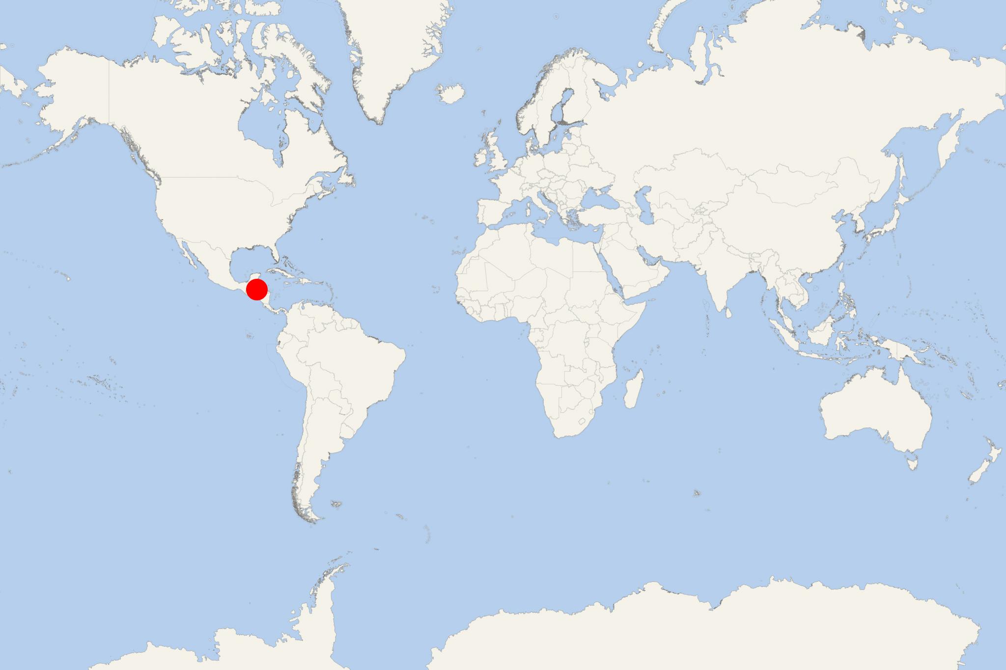
Puerto Cortes is a port city located on Honduras' northern Caribbean coast, on Laguna de Alvarado (natural bay) east of Omoa and north of San Pedro Sula. The city has population around 130,000.
The town was established in early colonial period and grew quickly during the 20th century, due to its banana production and railroad connection to the port. The popular Coca-Cola beach is named after the beverage company that has a bottling plant in Puerto Cortes.
Puerto Cortes port
The seaport is Central America's first largest and the world's 36th largest in terms of containership cargo volume. Most containerized cargo is exported to USA. In 1966 was created port's managing company Empresa Nacional Portuaria (Honduras National Port Authority) and in 1976 was created port's free trade zone.
Due to its seaport infrastructure and proximity to USA seaports (East Coast and Gulf of Mexico), Puerto Cortes was included in CSI (US Container Security Initiative) as the first Central American port. In the end of 2005, the US government signed an agreement with Honduras and opened US Customs Office in Puerto Cortes. Under the agreement, all exported to USA containers are checked in Honduras by US Customs officials.
Under the Megaport initiative, in March 2007 three Radiation Portal Monitors (RPMs) were installed in Puerto Cortes to inspect all US-destined containers for possible radioactive threats. The system became operational in April 2007.
