

Ambrym Island Vanuatu
Cruise Port schedule, live map, terminals, news
Region
Australia - New Zealand - Pacific Ocean Islands
Local Time
2026-09-26 15:11
 73°F
73°F 22.6°C

 Fresh breeze
9.2 m/s
 76 °F / 25 °C
 72 °F / 23 °C
Port Ambrym Island Vanuatu cruise ship schedule shows timetable calendars of all arrival and departure dates by month. The port's schedule lists all ships (in links) with cruises going to or leaving from Ambrym Island Vanuatu. To see the full itineraries (ports of call dates and arrival / departure times) and their lowest rates – just follow the corresponding ship-link.
| Day | Ship | Arrival | Departure |
|---|---|---|---|
| 16 April, 2027 Friday |  Silver Cloud Silver Cloud | 12:00 | 22:00 |
Ambrym Island (port locode VUVLI) is in Vanuatu's Malampa Province. The island covers a total area of approx 678 km2 (262 mi2), ranking it Vanuatu's 5th largest. Its population (around 7,000) live mainly off coconut plantations in the 3 corners of the isle.
Ambrym's volcanic activity includes lava lakes in 2 craters close to the summit. The island was discovered in 1774 by James Cook (1728-1779 / Royal Navy Captain, explorer, cartographer).
Located close to the center of Vanuatu archipelago, Ambrym is roughly triangular in shape, with a width of approx 50 km (31 mi). Island's summit is dominated by a desert-like caldera covering an area of 100 km2 (39 mi2). Except for the human settlements, the rest of the island is covered by jungle.
The caldera measures 12x8 km (7,5x5 mi) and has 2 active volcanic cones (Marum and Benbow). Several times per century, the Ambrym volcano makes destructive eruptions. Benbow's last eruption (in 1913) caused the evacuation of the locals to Mele, close to Port Vila (Efate Island).
In March 2017, Google Streetview added the Marum crater with its lava lakes. Ambrym Island attracts tourists with its active volcanoes, tropical vegetation, local customs, and traditional accommodations (bungalows).
The island can be accessed by sea (cruise ships and chartered tour boats) and also via two airports - Ulei (south-east coast) and Craig Cove (central-west coast). Both airports serve only domestic flights (by the flag carrier Air Vanuatu) linking to Luganville (Espiritu Santo), Malakula Island (Norsup) and Paama Island.
Ambrym Island Vanuatu cruise terminal
Vanuatu Islands (officially Republic of Vanuatu) is an island nation located in the South Pacific. The islands cover a total area of approx 12190 km2 (4706 mi2) and population around 290,000. Large cruise ships to Vanuatu Islands dock (anchor) either at Luganville or Champagne Bay (near Hog Harbour, in the northeast part of Espiritu Santo Island).
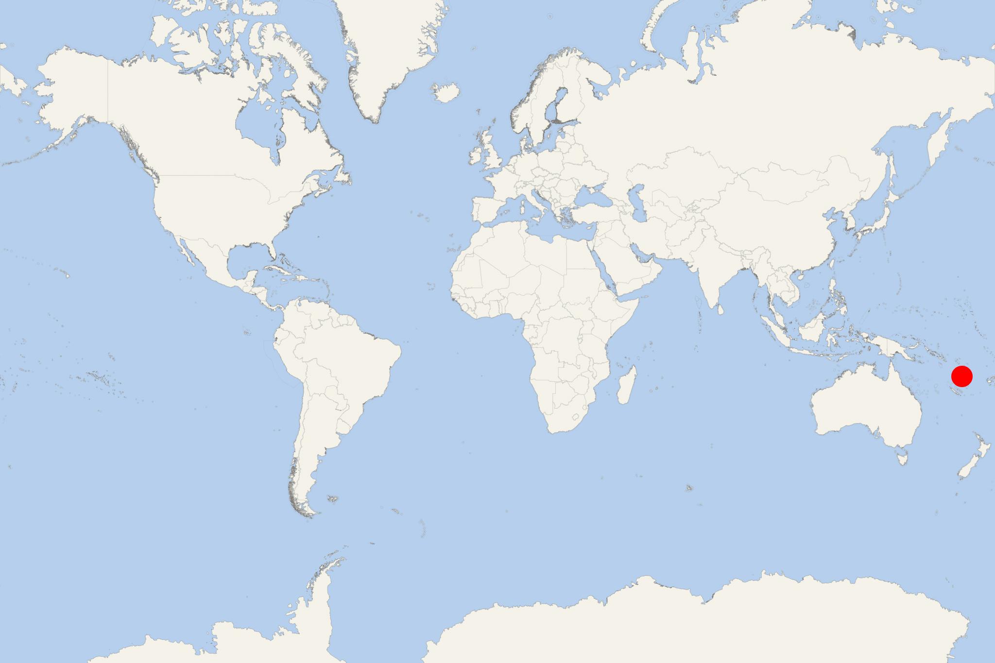
The archipelago is of volcanic origin and is situated some 1750 km (1090 mi) east of northern Australia, east of New Guinea, 540 km (340 mi) northeast of New Caledonia, west of Fiji and southeast of Solomon Islands.
The tourism industry in Vanuatu is a major revenue source as the archipelago is widely recognised as a premier vacation travel destination - especially for coral reef scuba diving. A unique attraction to scuba divers is the wreck of the US luxury cruise ship President Coolidge (converted troop carrier) on Espiritu Santo Island. Sunk during WW2 (1939-1945), the vessel is among the world's largest shipwrecks accessible for recreational diving.
At a Glance
Independent sightseeing limited. Ambrym is a remote volcanic island with basic infrastructure, unsealed roads and no conventional cruise terminal. Most visitors experience the island through activities arranged by the ship or local community.
- Ships normally anchor offshore and transfer passengers by tender or Zodiac.
- The landing place varies by itinerary and may be a beach or simple village landing.
- There is no dependable public transport, taxi rank or developed shopping area at the landing.
- Cultural visits are the most realistic activity during a normal port call.
- Volcano trekking generally requires more time and preparation than a cruise visit allows.
Getting Ashore
Passengers should expect a tender landing rather than a pier. Access may involve stepping onto a beach, uneven ground or a basic landing area, so assistance may be needed for travelers with limited mobility.
Sea conditions can delay, relocate or cancel tender operations. Follow the ship’s instructions because the landing village and available activities may change between calls.
Best Ways to Spend the Call
Join a Village Cultural Visit
This is normally the most practical Ambrym experience. Depending on arrangements made for the ship, a visit may include traditional dancing, sand drawing, carving, local stories and an introduction to village life.
Ambrym’s ceremonies and Rom dances are part of living kastom rather than routine entertainment. Remain with the hosted group, follow local instructions and ask before photographing people, masks, performances or ceremonial places.
Explore Around the Landing Village
If passengers are permitted to move independently, a short walk near the landing may reveal village homes, gardens, coastal scenery and black volcanic sand. Paths can be rough, muddy or slippery, and there may be few signs or visitor facilities.
Do not enter private land, ceremonial areas or inland tracks without permission. A local host is preferable even for a seemingly simple village walk.
Watch a Rom Dance or Cultural Demonstration
Some cruise calls include a specially arranged performance featuring masked dancers in elaborate costumes. Availability depends entirely on local arrangements and should not be assumed. These events are best attended through the ship’s program or an organized community visit.
Take an Organized Scenic Drive
Where vehicles are arranged, a local truck or four-wheel-drive trip may provide access to another village, forest scenery or volcanic landscapes. Roads are unsealed, journeys can be slow and rides may be rough. This option is unsuitable for passengers with significant back or mobility problems.
Volcano Trekking
Ambrym’s Benbow and Marum volcanic area is a major attraction, but reaching it involves local transport, an experienced guide and a long, strenuous trek over jungle trails, ash plains and exposed volcanic terrain. Many routes require a full day or an overnight expedition.
A crater trek should only be considered when specifically organized for the cruise call with enough time, safety support and current authorization. The former persistent lava lakes disappeared after the 2018 eruption, so visitors should not expect to see a glowing lava lake.
Short Hosted Walking Route
Landing area–village–coast route: Begin at the tender landing with a local host, continue through the accessible part of the village, pause at any arranged craft or sand-drawing demonstration, and return along the coast or the same path.
- Recommended time: 1–2 hours, depending on the program.
- Difficulty: Easy to moderate, but surfaces may include sand, roots, mud and uneven paths.
- Best for: Passengers who want a short cultural experience without a long vehicle journey.
- Return: Stay within easy reach of the landing and follow the ship’s final-tender deadline.
This is not a fixed public trail. The exact route depends on the landing site, village permissions and arrangements made on the day.
Practical Tips
- Wear closed shoes with good grip rather than sandals intended only for the beach.
- Carry water, sun protection, insect repellent and a light rain layer; shops and other facilities may be very limited.
- Bring small-denomination cash if the ship advises that local crafts or refreshments will be offered.
- Expect limited or no mobile coverage, card payment facilities and accessible toilets.
- Do not hike inland or toward the volcanoes without a recognized local guide.
- Volcanic conditions and access restrictions can change. Follow current guidance from local authorities, guides and the ship.
- Allow a generous return margin because tender trips can be affected by weather and sea conditions.