Aniwa Island Vanuatu
Cruise Port schedule, live map, terminals, news
Region
Australia - New Zealand - Pacific Ocean Islands
Local Time
2025-12-13 16:58
 79°F
79°F 26.3°C

 Fresh breeze
9.8 m/s
 80 °F / 27 °C
 78 °F / 26 °C
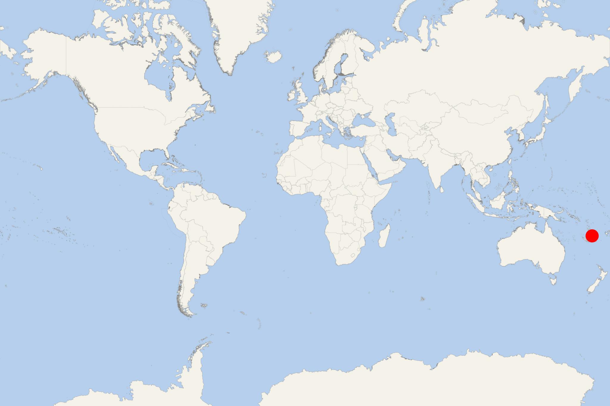
Aniwa Island (port locode VUAWD) is part of Vanuatu's southernmost province Tafea. Being a raised coral atoll, Aniwa rises nearly 42 m (138 ft) above sea level. Itcharo Lagoon (Tiaro) is in the northwest and open to the sea. The nearest large island is Tanna Island, approx 24 km (15 mi) to the southwest.
Most cruise ships to Aniwa Vanuatu dock (anchor) at Ikaokao - the port town (largest settlement) on the southern coast. Alternatively, ships may anchor in the lagoon (in the island's northern part) and transport their passengers ashore (to Isarau Beach) via the ship's tender boats or Zodiacs.
Like the nearby West Futuna Island, Aniwa's inhabitants originally came from Samoa. The island's population is under 500 in 5 villages. The largest settlement (Ikaokao) is located south-central. The next largest is Isavai.
Aniwa Island Vanuatu cruise terminal
Vanuatu Islands (officially Republic of Vanuatu) is an island nation located in the South Pacific. The islands cover a total area of approx 12190 km2 (4706 mi2) and population around 290,000. Large cruise ships to Vanuatu Islands dock (anchor) either at Luganville or Champagne Bay (near Hog Harbour, in the northeast part of Espiritu Santo Island).
The archipelago is of volcanic origin and is situated some 1750 km (1090 mi) east of northern Australia, east of New Guinea, 540 km (340 mi) northeast of New Caledonia, west of Fiji and southeast of Solomon Islands.
The tourism industry in Vanuatu is a major revenue source as the archipelago is widely recognised as a premier vacation travel destination - especially for coral reef scuba diving. A unique attraction to scuba divers is the wreck of the US luxury cruise ship President Coolidge (converted troop carrier) on Espiritu Santo Island. Sunk during WW2 (1939-1945), the vessel is among the world's largest shipwrecks accessible for recreational diving.
