Tanna Island Vanuatu (Lenakel)
Cruise Port schedule, live map, terminals, news
Region
Australia - New Zealand - Pacific Ocean Islands
Local Time
2025-12-22 16:56
 81°F
81°F 27.1°C

 Gentle breeze
4.9 m/s
 85 °F / 30 °C
 75 °F / 24 °C
Port Tanna Island Vanuatu cruise ship schedule shows timetable calendars of all arrival and departure dates by month. The port's schedule lists all ships (in links) with cruises going to or leaving from Tanna Island Vanuatu, Lenakel. To see the full itineraries (ports of call dates and arrival / departure times) and their lowest rates – just follow the corresponding ship-link.
| Day | Ship | Arrival | Departure |
|---|---|---|---|
| 6 April, 2026 Monday |
Tanna Island (port locode VUTAH) is part of Tafea Province (Vanuatu), covers a total area approx 550 km2 (210 mi2), and has a population of around 30,000. The island has length 40 km (25 mi), width 19 km (12 mi), and highest elevation point (Mt Tukosmera) 1084 m (3556 ft) above sea level.
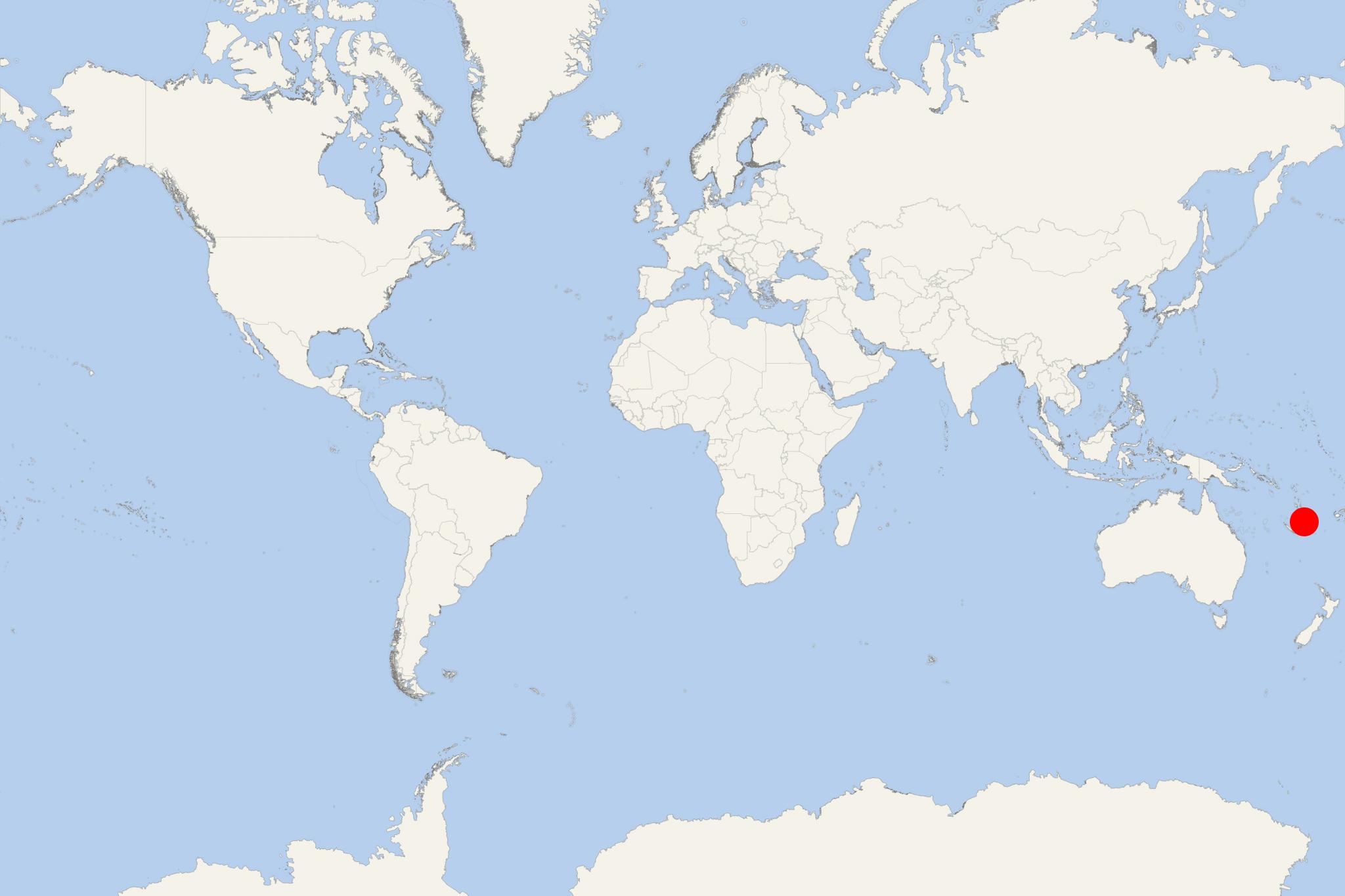
Cruise ships to Tanna Island dock (anchor) at Lenakel - port town on the western coast.
Tanna is Tafea Province's most populous island. The provincial capital Isangel, is on the island's west coast, located close to its largest town, Lenakel.
Almost all of the locals are Melanesians, who follow a more traditional lifestyle than on other Vanuatu islands.
At some of the higher located villages, modern-time inventions are restricted, men wear penis sheaths, women wear grass skirts, and kids don't go to school.
Tanna is among Vanuatu's most fertile islands. It produces coffee, copra (dried coconut kernels), coconut, kava, other fruits, and vegetables. Tourism is also an important industry, attracting international travelers with traditional culture and the volcano. To help preserve the culture's integrity as a tourism asset, only locals are permitted to act as guides.
Siwi Lake was in the east of the island and northeast of its peak (near the coast). In April 2000, as a result of unusually heavy rain, the lake burst down into Sulphur Bay. On the southeast coast is Mt Yasur (active volcano).
Tanna Island Vanuatu cruise terminal
Vanuatu Islands (officially Republic of Vanuatu) is an island nation located in the South Pacific. The islands cover a total area of approx 12190 km2 (4706 mi2) and population around 290,000. Large cruise ships to Vanuatu Islands dock (anchor) either at Luganville or Champagne Bay (near Hog Harbour, in the northeast part of Espiritu Santo Island).
The archipelago is of volcanic origin and is situated some 1750 km (1090 mi) east of northern Australia, east of New Guinea, 540 km (340 mi) northeast of New Caledonia, west of Fiji and southeast of Solomon Islands.
The tourism industry in Vanuatu is a major revenue source as the archipelago is widely recognised as a premier vacation travel destination - especially for coral reef scuba diving. A unique attraction to scuba divers is the wreck of the US luxury cruise ship President Coolidge (converted troop carrier) on Espiritu Santo Island. Sunk during WW2 (1939-1945), the vessel is among the world's largest shipwrecks accessible for recreational diving.
- Cruise Industry

Heritage Expeditions introduces new 'priced-to-entice' voyage South Pacific Sojourn
Heritage Expeditions NZ added the new "South Pacific Sojourn" itinerary to its 2023 schedule. The 10-day adventure voyage departs from Port Vila...
May 31, 2023 - show more news
