

Barrow AK (Alaska)
Cruise Port schedule, live map, terminals, news
 32°F
32°F 
 Gentle breeze
Port Barrow AK cruise ship schedule shows timetable calendars of all arrival and departure dates by month. The port's schedule lists all ships (in links) with cruises going to or leaving from Barrow AK, Alaska. To see the full itineraries (ports of call dates and arrival / departure times) and their lowest rates – just follow the corresponding ship-link.
| Day | Ship | Arrival | Departure |
|---|---|---|---|
| 4 September, 2026 Friday |  MS Fridtjof Nansen MS Fridtjof Nansen |
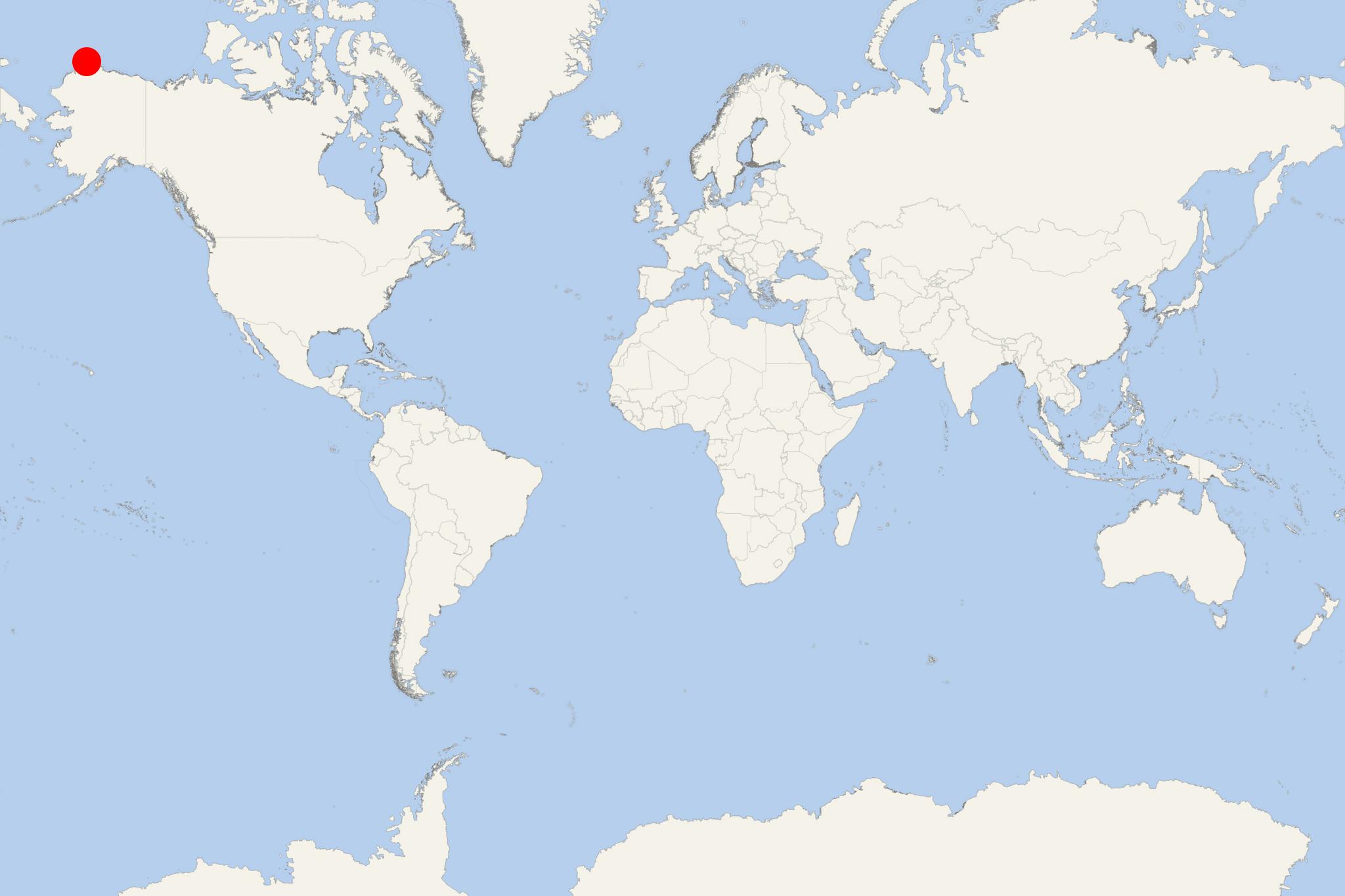
Barrow AK (port locode USBRW), aka UkpiaAvik, is a large town port in Alaska.
It is located above the Arctic Circle, making it the world's 11th northernmost community, and it is the USA's northernmost one.
Point Barrow (located nearby) is the country's northernmost point.
The town has a population of around 5,000.
Utqiaġvik, formerly known as Barrow, is a remote Arctic community rather than a conventional cruise port. Expedition ships normally anchor offshore and use Zodiacs or tenders, with the landing location dependent on sea, surf and ice conditions. Visits can be delayed, shortened or cancelled when conditions make landing unsafe.
Independent sightseeing with some planning or transport. The central shoreline can be explored on foot, but attractions are spread across the community and roads may be wet, muddy or uneven. A locally guided vehicle tour is the practical choice for Point Barrow and the surrounding tundra.
Getting from the Ship
- There is no purpose-built cruise terminal. Passengers usually come ashore by Zodiac or tender.
- The expedition team will identify the day’s landing point and any shuttle arrangements. Do not assume that the landing shown on a map will be used.
- Local taxis are useful for reaching attractions outside the immediate landing area. Limited local bus service should not be relied upon for a short port call.
- Allow extra time for the return tender. Boarding may take longer when surf or wind conditions change.
Best Ways to Spend Your Time
Iñupiat Heritage Center
This is the most important indoor cultural visit in Utqiaġvik. Exhibits present Iñupiat history, language, subsistence traditions and bowhead whaling culture, while local artists may be working or displaying crafts. Allow about 1–2 hours. Its location away from parts of the central waterfront makes a taxi, cruise transfer or guided tour more practical than walking. Confirm that it will be open during the call.
Whale Bone Arch and the Arctic Ocean Shore
The Whale Bone Arch stands beside the shoreline near the historic Cape Smythe Whaling and Trading Station. It is a natural focal point for a short independent visit and an opportunity to see the Arctic Ocean at close range. Allow 30–60 minutes, depending on the landing location and weather. The beach consists of loose gravel and may be difficult for passengers with limited mobility.
Guided Tour of Utqiaġvik
A local vehicle tour is the easiest way to combine the heritage center, shoreline, community landmarks, tundra scenery and historical sites within a limited call. Tours commonly take around two hours, although cruise arrangements vary. This option is particularly useful in cold, windy or wet weather and for passengers who prefer to avoid long walks on unpaved roads.
Point Barrow
Point Barrow is the northernmost point of the United States, but it is outside the practical walking area and is not reached by a normal public road. Access involves rough beach or tundra tracks and should be attempted only with an experienced local guide using a suitable vehicle. Allow at least 2–3 hours and recognize that conditions may prevent access. Wildlife sightings, including polar bears, are never assured.
Short Self-Guided Waterfront Walk
This route is suitable only when the expedition landing or shuttle drop-off is near the central waterfront. Confirm the actual start point before leaving the landing area.
- Shore landing or designated drop-off: Check the final tender time and identify the return point.
- Arctic Ocean beach: Walk a short section of the gravel shoreline while staying within the developed area.
- Whale Bone Arch: Pause at the bowhead-whale jawbone landmark overlooking the ocean.
- Cape Smythe Whaling and Trading Station: View the historic exterior near the arch; interior access should not be assumed.
- Central waterfront: Continue past local buildings for views of the community and coast, then retrace the route to the landing point.
Typical distance: approximately 1.5–2.5 km (0.9–1.6 mi), depending on the landing point.
Walking time: about 30–45 minutes without stops.
Recommended total time: 1–1.5 hours.
Difficulty: Easy to moderate. The terrain is generally flat, but gravel, mud, standing water, cold wind and limited sidewalks can make walking slower.
Nature and Wildlife
The surrounding tundra and coast support migratory birds and Arctic wildlife, but sightings depend heavily on season and conditions. Remain within inhabited areas unless accompanied by a local guide. Polar bears can occur near the community and coastline; never approach wildlife or walk toward Point Barrow independently.
The shoreline is culturally important and may contain boats, whaling equipment, animal remains or subsistence-harvest materials. Observe from a respectful distance and do not touch or remove bones, artifacts or equipment.
Practical Tips
- Dress in warm, windproof and waterproof layers even during summer; conditions can change rapidly.
- Wear sturdy, water-resistant footwear suitable for gravel, mud and wet beach landings.
- Facilities, taxis and visitor services are limited, especially when an expedition ship arrives.
- Ask permission before photographing residents, subsistence activities or culturally sensitive sites.
- Keep a generous return margin and follow the expedition team’s instructions if weather or landing conditions change.