Cosmoledo Atoll Seychelles
Cruise Port schedule, live map, terminals, news
Region
Africa - Indian Ocean Islands
Local Time
2026-02-14 01:16
 82°F
82°F 27.5°C

 Gentle breeze
4.8 m/s
 82 °F / 28 °C
 75 °F / 24 °C
Port Cosmoledo Atoll Seychelles cruise ship schedule shows timetable calendars of all arrival and departure dates by month. The port's schedule lists all ships (in links) with cruises going to or leaving from Cosmoledo Atoll Seychelles. To see the full itineraries (ports of call dates and arrival / departure times) and their lowest rates – just follow the corresponding ship-link.
| Day | Ship | Arrival | Departure |
|---|---|---|---|
| 14 December, 2027 Tuesday |
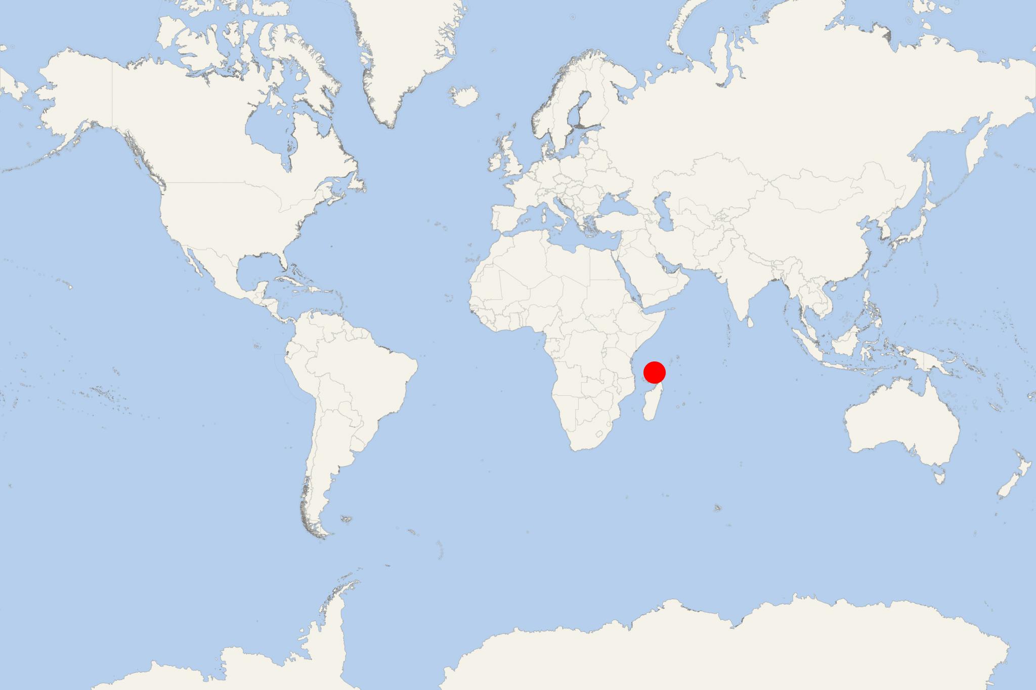
Cosmoledo Atoll is of Seychelles' Aldabra Group (Outer Islands). Cosmoledo is located approx 1030 km (640 mi) southwest of the capital city Victoria (Mahe Island). The atoll is currently uninhabited and has a total land area of 5,13 km2 (2 mi2).
Sergeant Rivers visited Cosmoledo Atoll in 1878. He reported, judging by turtle remains on the beach, that the atoll was frequently visited by whalers and fishermen. He found a "turtle park" and recently destroyed hut on Menai Island. A hut on Wizard's southern point had been built from the wreckage of Merry Monarch (April 1874). He reported Menai was covered with tall mangroves. Shortly after this Cosmoledo was settled and a visitor in 1895, noted maize, goats and 200-300 coconut trees. By 1901 there were four men on North-east Island, two on Menai, and one on Wizard.
Until 1992, Cosmoledo was inhabited as a turtling and fishing station. Then it was abandoned.
Fly-fishing cruises to Cosmoledo Atoll are organized on a regular basis.
The IDC proposed a plan for eco-resort with 20 rooms to be built at Menai, 2019.
The following map of Cosmoledo Atoll shows the location and names of all its islands - a total of 20 names, plus a number of unnamed islets.
The largest are Menai Island (2,47 km2) and Wizard Island (Grande Ile, 1,6 km2), followed by South Island (Ie du Sud-Ouest, 0,4 km2), Grande Polyte (0,28 km2) and West North Island (Ile du Nord, 0,12 km2).
- Cruise Industry

Aqua Expeditions expands to East Africa with new Seychelles and Zanzibar cruises
Aqua Expeditions has announced its expansion into East Africa with new luxury expedition voyages to the Seychelles and Zanzibar Tanzania, set to...
September 14, 2024 - Cruise Industry

Seychelles to reopen for cruise ships in November
Seychelles, one of the first nations to announce a ban on cruise ships last year, intends to reopen in time for the winter 2021 cruise season. The...
August 16, 2021 - show more news
