Fitzroy Island (Queensland Australia)
Cruise Port schedule, live map, terminals, news
Region
Australia - New Zealand - Pacific Ocean Islands
Local Time
2025-09-17 23:51
 75°F
75°F 24.1°C

 Mod. breeze
7.6 m/s
 78 °F / 26 °C
 69 °F / 21 °C
CruiseMapper currently has no ship schedule for Port Fitzroy Island (Queensland Australia)
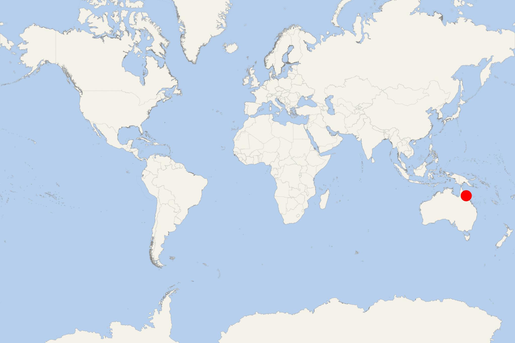
Fitzroy Island (aka Koba, and Gabar) is a large island located in Coral Sea, approx 29 km (18 ml) southeast of Cairns (Queensland, Australia). It features a rainforest and a fringe coral reef part of the Great Barrier Reef Marine Park.
- The island has a land area of 3,4 km2 (1,3 ml2) and highest elevation point 375 m (1230 ft).
- The climate is tropical, with temperatures raging between 24-31 C (75-88 F) in the summer and 19-25 C (66-77 F) in the winter.
- The island separated from mainland around 8000 years ago, nearly at the end of the last ice age. Aboriginal people visited Fitzroy, mainly for hunting trips and recreation.
- Fitzroy Island was discovered and named in 1770 by James Cook (1728-1779). It was first used as a Chinese quarantine station for the goldfields of Queensland. During WW2 (1939-1945) it was used as a coast watch station.
- Fitzroy Island is served by a 45-min ferry from Cairns (roughly 30 km / 19 ml distance). Almost all of the island is a protected area within Fitzroy Island National Park.
- The Fitzroy Island resort offers around 100 rooms in addition to its camping area. The property was bought and developed by Doug Gamble and last refurbished in 2010.
- The clam farm (Welcome Bay) is now the tourist resort, with the island's visitor centre. There are all 4 walking trails available for trekking, and a lighthouse (in the northeastern part).
Fitzroy Island cruise terminal
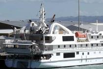
Cruise ships to Fitzroy Island dock (anchor) at Cairns on Trinity Bay, Far North Queensland.
- Cruise Industry

Coral Expeditions restarts operations for Australians on October 14
Coral Expeditions confirmed a restart of operations for October 14, 2020, with a series of new 7-night voyages onboard its yacht-like MV Coral...
September 21, 2020 - show more news
