

Foula Island Scotland (Shetland)
Cruise Port schedule, live map, terminals, news
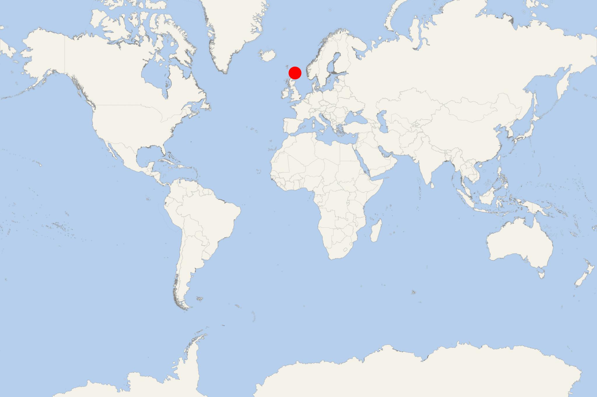
Region
Ireland - UK - British Isles
Local Time
2026-11-10 14:05
 46°F
7.7°C

 Fresh breeze
10.2 m/s
 49 °F / 10 °C
43 °F / 6 °C
Port Foula Island Scotland cruise ship schedule shows timetable calendars of all arrival and departure dates by month. The port's schedule lists all ships (in links) with cruises going to or leaving from Foula Island Scotland, Shetland. To see the full itineraries (ports of call dates and arrival / departure times) and their lowest rates – just follow the corresponding ship-link.

Foula Island is one of Scotland's Shetland Islands, and among the UK's most remote and inhabited isles.
Since the turn of the 20th century, the Isle of Foula has been owned by the Holbourn family. It was the location for "The Edge of the World" (1937) movie. The White Star Line's Transatlantic ocean liner RMS Oceanic was wrecked on nearby Shaalds. Foula's 1210-ft (370-m) high cliffs are home to a wealth of seabirds, including great skuas, Arctic terns and red-throated divers.
Ferries sail out of Ham to Walls and Scalloway on Shetland Mainland. Flights head from Foula Island's airstrip to Tingwall Airport. Little shelter is found for boats on the island. On the east coast lies the only beach, at the head of Ham Voe.
Foula Island Scotland cruise terminal
Cruise ships to Foula Island (aka "bird island") dock (anchor) at Scalloway - on the western coast of Shetland Mainland.
Foula is a remote nature stop best spent walking, watching seabirds and exploring the shoreline around Ham Voe. There is no town-center sightseeing circuit or public transport network. The weather, landing conditions and time allowed ashore determine how far you can realistically explore.
Independent with some planning or transport: a short walk near the landing is practical if your ship permits independent exploration. For exposed coastal routes, bird colonies and the island’s more distant landmarks, a ranger-led or expedition-team walk is preferable.
Getting Ashore and Around
Expect an offshore anchorage and a tender or Zodiac landing rather than a cruise berth. Ham’s small working harbour on the east coast is the usual access point, but follow your ship’s briefing for the actual landing location and permitted walking area. Swell and wind can shorten or prevent a landing.
From Ham, sightseeing begins on foot around the voe and along the island’s roads. There is no public bus service. Local transport may be possible by prior arrangement, but do not expect taxis or a shuttle waiting at the pier.
The roads provide firmer footing than the surrounding moorland, although gradients, wind and rain still affect walking. Tender transfers and uneven landing surfaces can be difficult for passengers with limited mobility; check arrangements with the ship before going ashore.
Best Ways to Spend Your Time
Ham Voe Shoreline and Crofting Landscape
Allow roughly 1–2 hours for an unhurried look around the harbour, the beach at the head of the voe and the nearby lanes. Look for shorebirds and seals, and enjoy views of the island’s hills from the settled eastern side. This is the most manageable independent option for a short landing, with an easy return along the same route.
Keep to roads and established access routes. Houses, gardens and crofts are working private properties. The beach is better treated as a shoreline stop than a swimming destination.
Ranger-Led Wildlife Walk
A guided walk is a useful choice for understanding Foula’s seabirds, wildflowers and landscape without spending limited shore time finding a suitable route. Foula Heritage’s ranger service can tailor walks to visitors’ interests and available time; arrange this beforehand or join an outing offered by your ship.
Birdlife varies with the season. During the breeding period, nesting skuas can defend their territories aggressively, making local route advice particularly valuable. Confirm the walk’s duration, terrain and return arrangements before setting off.
Gaada Stack and the Rugged Coast
The double-arched Gaada Stack at the island’s northern end is a worthwhile objective for a longer, suitably planned outing. It is not an immediate harbour attraction: reaching it requires additional travel and walking, with the route depending on your starting point and any arranged transport.
Organized excursion recommended: choose a locally guided or ship-led visit that fits the landing window. The western cliffs and hills are more demanding alternatives, involving exposed ground and potentially wet, uneven footing. Do not attempt to combine several distant landmarks during a brief call.
Self-Guided Walking Option
Ham Voe and Nearby Lanes — Easy to Moderate
Start: Ham pier, if this is your confirmed landing point. Make this an adjustable out-and-back walk rather than a fixed circuit.
- Ham pier: identify the return boarding point and check the final tender time before leaving.
- Head of Ham Voe: follow the access road towards the head of the inlet for harbour views.
- Beach and shoreline: pause to watch birds and look for seals from a respectful distance, using accessible ground without crossing private gardens.
- Nearby crofting lanes: continue a short distance along the road south of the voe for views across the crofts and towards the hills.
- Return to Ham pier: retrace your route, turning back earlier if conditions deteriorate.
Distance and timing: choose a turnaround point to keep the walk around 1.5–2 km (0.9–1.2 mi) overall. Allow approximately 30–45 minutes of walking and 1–1.5 hours with stops. These are planning estimates; shorten the route to match your landing window.
Terrain: mostly road walking with some slopes; beach access adds uneven ground. This is easier than the island’s hill routes, but it is exposed and should not be treated as a sheltered promenade.
Practical Tips
- Bring supplies: carry water, a snack, waterproof clothing and sturdy footwear. There is no general store, and refreshments should not be assumed.
- Facilities: public toilets are listed at the airstrip, rather than at the harbour. Ask the landing team about access before relying on them.
- Navigation: download a map before arrival. Mobile reception is patchy, and moorland routes may be unclear.
- Cliffs and bogs: stay well back from cliff edges and avoid unfamiliar wet ground. Do not descend the Sneck o da Smallie fissure independently.
- Respect wildlife and crofts: avoid nesting birds, use gates and stiles, leave gates as found and keep clear of crops and hay fields.
- Return margin: follow the ship’s landing instructions and aim to reach the boarding point well before the final tender. Allow extra time for wet ground, headwinds and boarding queues; mainland ferries and flights are not a practical backup for a missed ship.
Foula Island Scotland hotels
- Cruise Industry
Silversea announces 315 new cruises for 2022-2023
The premium brand Silversea Cruises opened its pre-sale program for the company's loyalty program (Venetian Society) members on 315 voyages scheduled...
December 3, 2020 - show more news