Inagua Island Bahamas (Matthew Town)
Cruise Port schedule, live map, terminals, news
Region
Bahamas - Caribbean - Bermuda
Local Time
2026-02-23 21:39
 75°F
75°F 24.1°C

 Fresh breeze
8.5 m/s
 83 °F / 29 °C
 72 °F / 23 °C
Port Inagua Island Bahamas cruise ship schedule shows timetable calendars of all arrival and departure dates by month. The port's schedule lists all ships (in links) with cruises going to or leaving from Inagua Island Bahamas, Matthew Town. To see the full itineraries (ports of call dates and arrival / departure times) and their lowest rates – just follow the corresponding ship-link.
| Day | Ship | Arrival | Departure |
|---|---|---|---|
| 31 March, 2026 Tuesday |
Great Inagua Island's Matthew Town (port locode BSIGA) is the only settlement (population around 1000) located on the southwest coast.
Among the attractions is the Lighthouse (built 1870). Most of the locals are employed by the US company Morton Salt (based in Chicago Illinois). Morton (subsidiary of K+S AG, Germany) is the leading salt producer and marketer in North America.
Inagua National Park on Great Inagua Island encloses Lake Rosa (see on the map below), which is Bahamas' largest saltwater lake. The park was established in 1965 (formed by the Bahamas National Trust) and has a total area of approx 890 km2 (344 mi2). The park is most famous for having the world's largest population of West Indian flamingos - over 50,000 birds. This makes Great Inagua a top tourist destination for bird watchers.
Inagua Island Bahamas cruise terminal
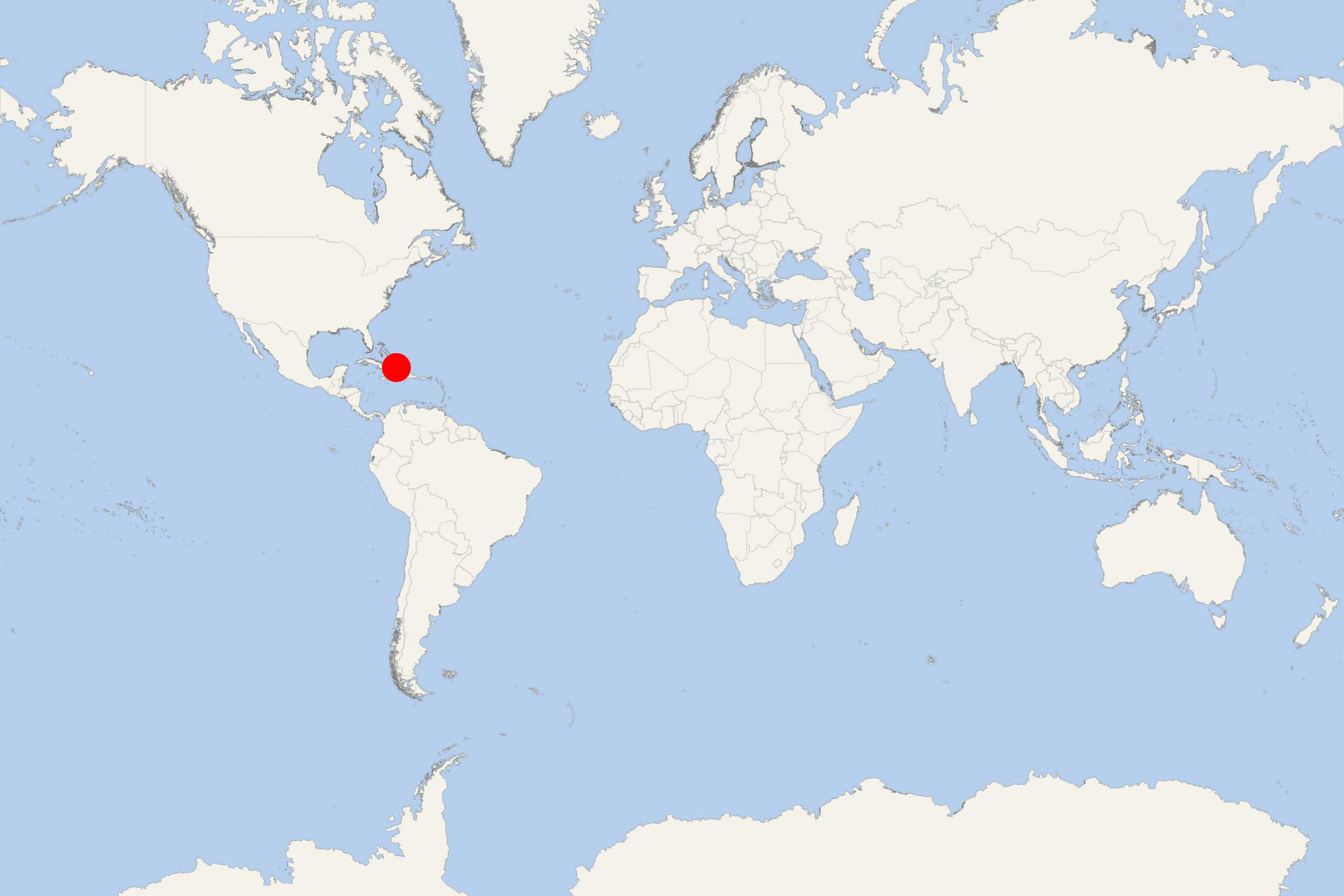
Cruise ships to Great Inagua Island Bahamas dock (anchor) at Matthew Town - port town (only settlement) on the southwestern coast. The following map of Great Inagua Island shows the names of all harbours, points and bays, as well as Lake Rosa inside of Inagua National Park.
- Accidents

20-yo passenger jumps overboard from Royal Caribbean's cruise ship Liberty OTS
Passengers aboard RCI-Royal Caribbean’s Liberty of the Seas faced a distressing situation when a young man jumped overboard in the early hours...
April 6, 2024 - Cruise Industry

Scenic Cruises' superyachts (Azzurra, Sakara, Eclipse 2) deployed in the Caribbean in 2023
Scenic Group has announced that 3 of its superyachts - Emerald Azzurra, Emerald Sakara, and Scenic Eclipse II, will be sailing in the Caribbean...
July 25, 2023 - Cruise Industry

Luxury superyacht Crystal Endeavor debuts in the USA with October cruise from PortMiami Florida
Crystal Yacht Cruises unveiled a 9-night Caribbean itinerary for its newbuild superyacht Crystal Endeavor. The voyage allows the rare chance for...
August 19, 2021 - Accidents

Passenger Medevaced From Carnival Vista
An 89-year-old man suffering stroke symptoms was medevaced from a Carnival cruiser Monday evening, July 9, according to the US Coast Guard (USCG...
July 11, 2018 - show more news
