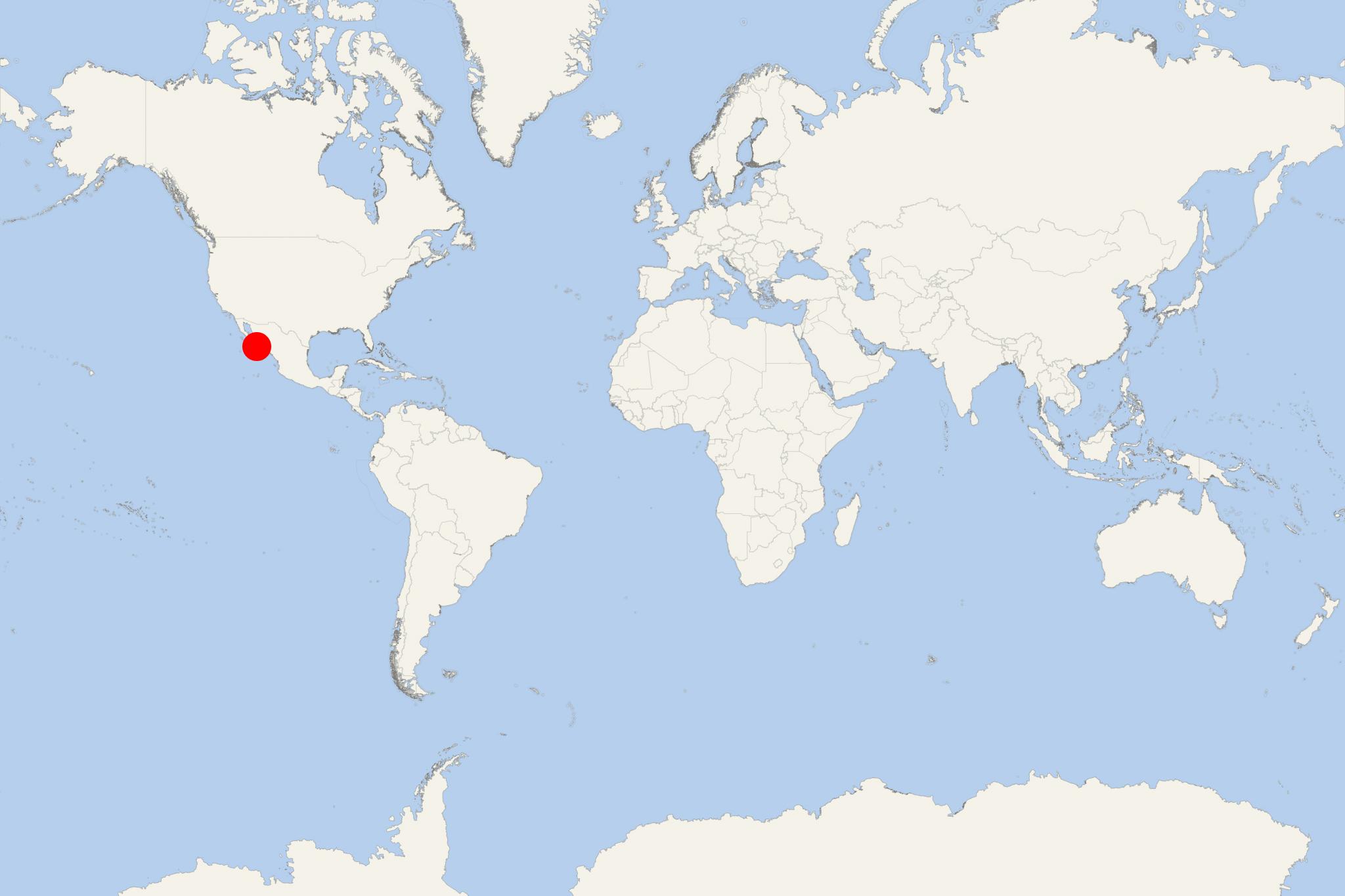
Isla del Carmen Mexico (Baja California Sur)
Cruise Port schedule, live map, terminals, news
Region
Port Descriptions
Local Time
2026-01-11 09:37
 64°F
64°F 18°C

 Fresh breeze
8.3 m/s
 67 °F / 20 °C
 57 °F / 14 °C
Port Isla del Carmen Mexico cruise ship schedule shows timetable calendars of all arrival and departure dates by month. The port's schedule lists all ships (in links) with cruises going to or leaving from Isla del Carmen Mexico, Baja California Sur. To see the full itineraries (ports of call dates and arrival / departure times) and their lowest rates – just follow the corresponding ship-link.
| Day | Ship | Arrival | Departure |
|---|---|---|---|
| 1 January, 2026 Thursday |
Isla del Carmen (port locode MXCME) is an uninhabited island located very close (approx 10 km / 6 mi) to Loreto, in Mexico's Baja California Sur state. The island covers a land area of approx 150 km2 (58 mi2 / ~15000 hectares). It is part of Loreto Bay National Park (protected marine park) and also within "Gulf of California Islands" (UNESCO World Heritage Site).
Mexico's Isla Carmen is a popular tourist destination for hiking and especially for scuba diving and snorkelling, with regularly scheduled boat tours offered from Loreto.
The island is also popular for its flora and fauna, including many seabird species (brown pelicans, scissor-tailed flycatchers, magnificent frigatebirds, blue-footed boobies, yellow-footed gulls, sparrow hawks, American pied oystercatchers), reptiles, rodent mammals.
