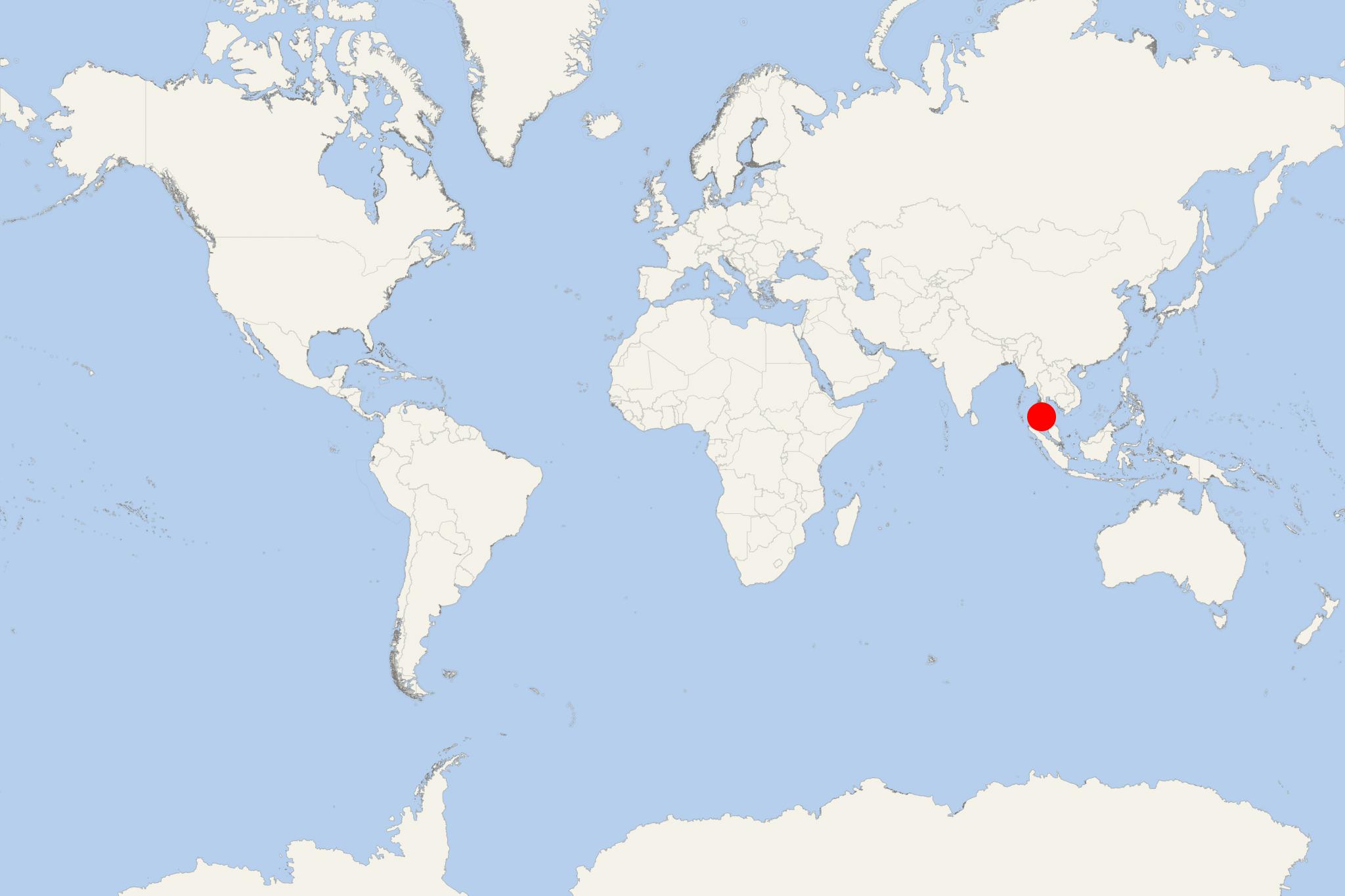
Krabi (Thailand)
Cruise Port schedule, live map, terminals, news
Krabi (port locode THKBV) is the largest town in Krabi province (southern Thailand), located at the mouth of the Krabi River emptying in Phang Nga Bay.
The town is located approx 783 km (486 mi) south of Bangkok (Thailand's capital) and has population around 55,000. It is served by Krabi Airport (international) and Phet Kasem Road (highway 4, Thailand's longest).
Most of Krabi province (including many islands) is designated a protected area and divided into national parks.
The most popular travel destinations are Ao Nang (resort town) and Railay Beach (Rai Leh). To the province belong over 80 smaller islands (including Koh Lanta and Koh Phi Phi), best-known as yachting, scuba-diving-snorkeling and island-hopping day-tour destinations from Phuket. The peak season is October through April.
Among the most popular activities are seakayaking, sailing, snorkeling, and wildlife viewing.
The mainland parks Khao Phanom Bencha and Than Bokkhorani are famous for their scenic attractions - waterfalls, caves, trekking, and eco-tours.
- Cruise Industry

Resorts World Cruises revives Star Cruises and Dream Cruises brands
Resorts World Cruises has announced the reinstatement of the Star Cruises and Dream Cruises brands, marking the return of two well-established travel...
February 26, 2025 - Cruise Industry

Resorts World One to homeport in Singapore for limited 5-day Southeast Asia cruises
Resorts World Cruises has announced that its vessel Resorts World One will homeport in Singapore for a limited season, operating 4 roundtrip 5-day/4...
February 12, 2025 - show more news

 75°F
75°F 
 Gentle breeze