Minhla (Myanmar)
Cruise Port schedule, live map, terminals, news
Region
Asia Rivers
Local Time
2026-01-23 20:40
 76°F
76°F 24.4°C

 Light breeze
1.7 m/s
 88 °F / 31 °C
 64 °F / 18 °C
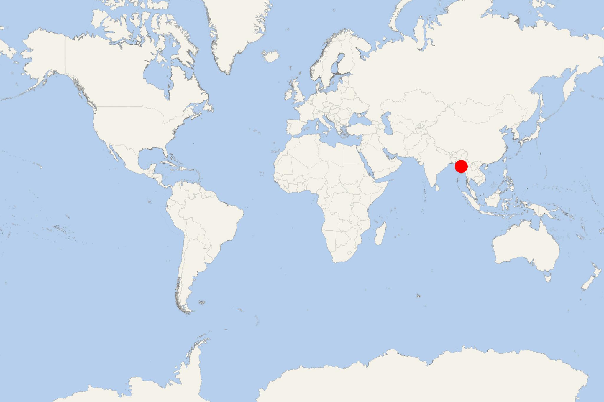
Minhla is a Irrawaddy River cruise port and town in Magway Region (central Burma / Myanmar). The town is where cruise ship tourists visit the popular Minhla Fort built by the Italians against the British during Royal Burma times. The square-shaped fort was constructed in 1864 to gun down British ships sailing upstream the river.
Magway Region is Myanmar's 2nd largest of all 7 divisions, with total area 4820 km2. It is bordered by Mandalay Region (east), Rakhine and Chin (west), Sagaing (north) and Bago (south).
Fossils of the early primates more than 40 million years old were excavated in Ponnya and Pondaung areas in Magway Region, which led the government to proclaim Burma "the birthplace of humanity". The ancient city of Pyu (Peikthano-myo) is nearly 2000 years old, located in Taungdwingyi Township (Magway).
