Myanaung (Myanmar)
Cruise Port schedule, live map, terminals, news
Region
Asia Rivers
Local Time
2026-01-23 20:39
 76°F
76°F 24.6°C

 Light breeze
3 m/s
 91 °F / 33 °C
 66 °F / 19 °C
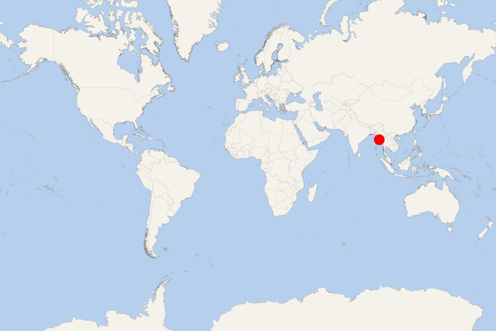
Myanaung is an Irrawaddy River cruise port and town in southwestern Burma (Myanmar)). The town is located in northwestern Irrawaddy Division and has population around 1000.
Irrawaddy Division occupies Irrawaddy Delta and is bordered Bago Region (north), Bago and Yangon Region (east) and Bay of Bengal (south-west). The region covers an area of 35 km2 (14 mi2) and has population around 6,2 million, ranking it Burma's largest by population. Pathein is the region's capital city.
The region is flanked by Arakan Mountains (in the west). Vast areas were cleared for paddy cultivation, which resulted in increased rice production. The region features scenic lakes and Irrawaddy River branches, including Pathein, Toe, Ngawun.
Ngwesaung Beach and Chaungtha Beach are popular resorts for both domestic and foreign tourists. They are in the region's west coast, a 1-hour drive distance from Pathein City and 4 hours from Yangon.
Myanaung Dam (Ma Mya Dam) provides power and irrigation water to the rural areas. Before its construction (2001-2007), farmers relied on rainwater. The dam also prevents from floods (during the rainy season). Dam's total irrigating capacity is around 17,000 acres.
