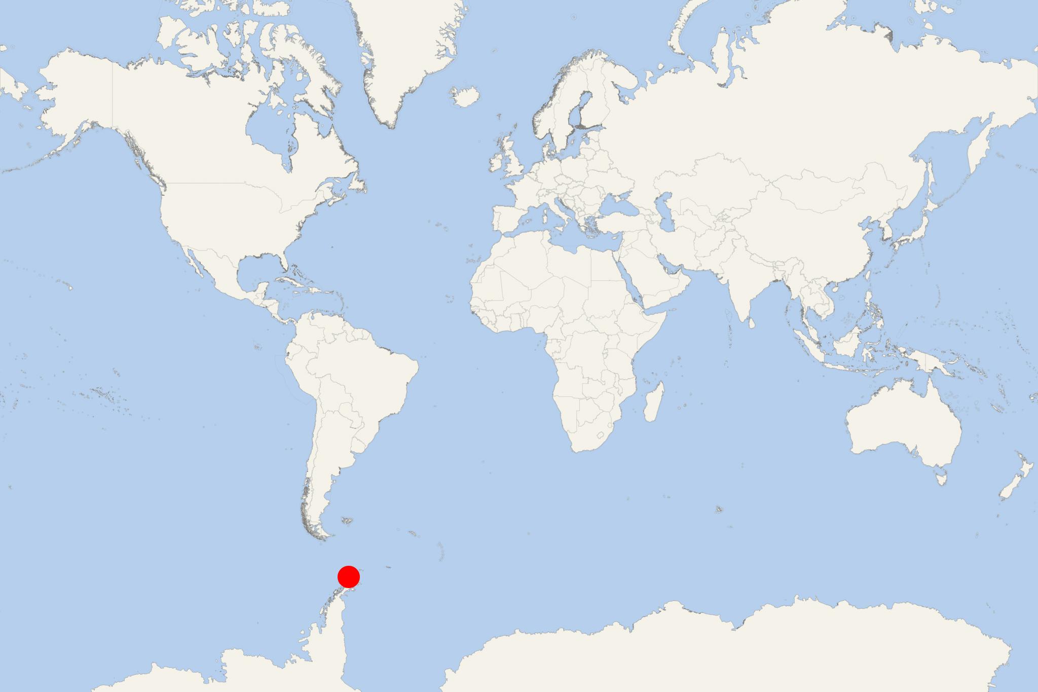
Nelson Island Antarctica (South Shetlands)
Cruise Port schedule, live map, terminals, news
Region
Arctic - Antarctica
Local Time
2026-02-04 17:09
 34°F
34°F 0.9°C

 Gentle breeze
3.7 m/s
 35 °F / 2 °C
 29 °F / -1 °C
Nelson Island (aka Isla Nelson, and "Leipzig Island" by Russia) is one of South Shetland Islands (Antarctica). Close to the northeast is located King George Island - archipelago's largest (total area 1150 km2 / 444 mi2), on which are almost all of the Antarctic bases (research stations).
The island is uninhabited, with length 22 km (14 mi) and width 13 km (8 mi). The Eco-Nelson Station (research base maintained by Czechia) is on the island.
Cruise ships to Nelson Island dock/anchor near Ross Point - on the southwestern side. Ross Point forms the southeast side of the Varvara Cove's entrance (on the isle's southwestern coast). Ross Point is located approx 8 km (5 mi) southeast of Harmony Point.
Harmony Point (westernmost) is located close (to the west) of Harmony Cove. This point forms the isle's western extremity. Harmony Pint is an ice-free land area of approx 35 km2 (13 mi2). Declared an Important Bird Area, it supports a variety of breeding bird species, among which one of the world's largest colonies of chinstrap penguins (over 90,000 pairs) on the Antarctic Peninsula. Other nesting birds at the Harmony Point site are gentoo penguins (around 3,300 pairs), imperial shags (black and white cormorant), storm petrels (Wilson's and black-bellied, over 1,000 pairs), Antarctic giant petrels (around 500 pairs), Cape petrels (around 500 pairs), also smaller colonies of Antarctic skuas, snowy sheathbills (aka paddy, and pale-faced sheathbill), kelp gulls (aka Dominican gull), Antarctic terns. Harmony Point also features many freshwater streams, and abundant vegetation (mosses, lichens, Antarctic Hairgrass and Pearlwort).
Varvara Cove (width of 3,3 km / 2 mi) indents for approx 2 km (1,2 mi) the southwestern coast. The cove is located northwest of Ross Point and southeast of The Toe point. It was named after a Bulgarian village and a seaside resort on the Black Sea (province Burgas).
The Toe Point marks the Harmony Cove entrance's southern side and the Varvara Cove entrance's northwestern side. It is located on the isle's western coast.
