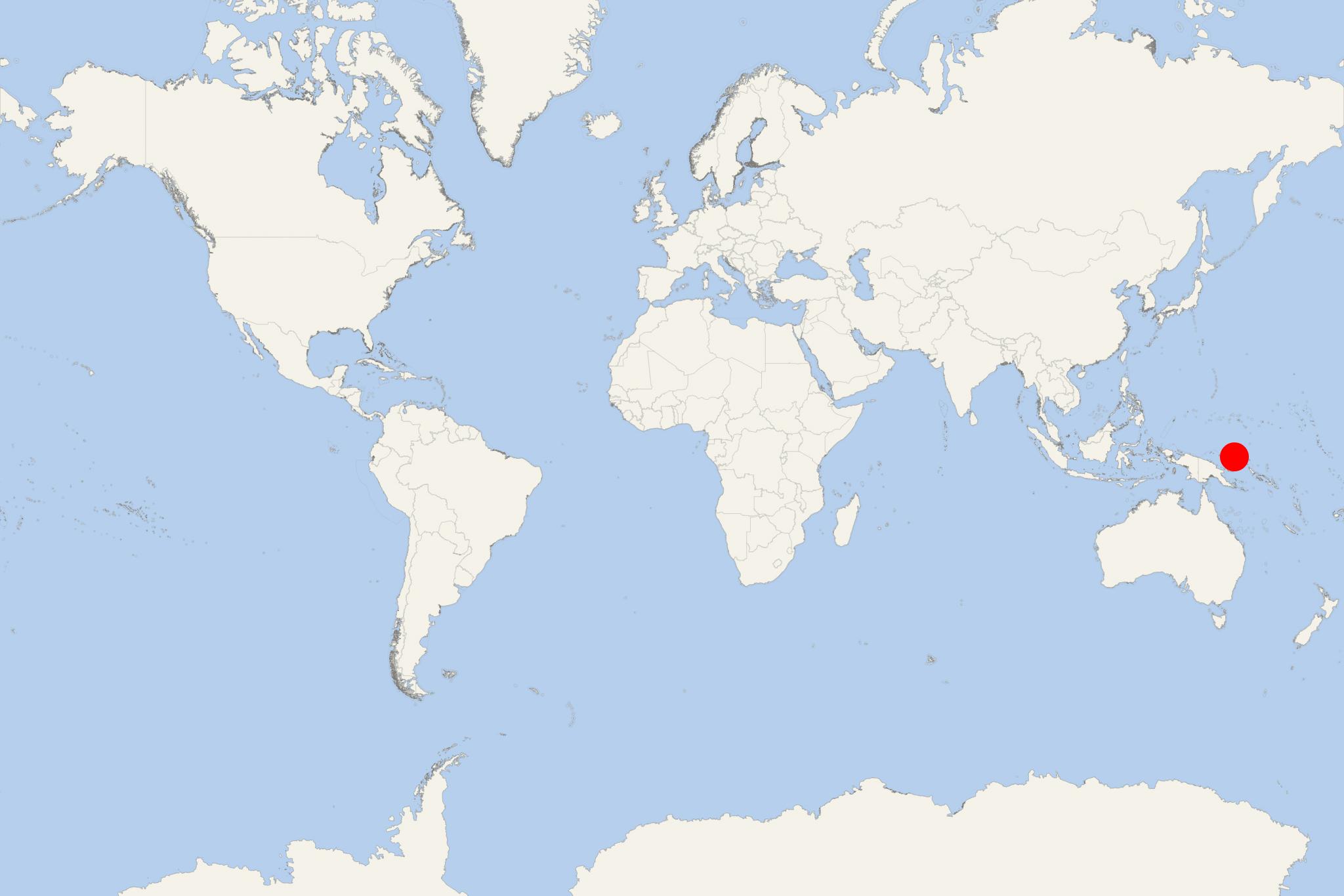
New Ireland Island PNG (Kavieng, Papua New Guinea)
Cruise Port schedule, live map, terminals, news
Region
Australia - New Zealand - Pacific Ocean Islands
Local Time
2025-09-16 17:22
 84°F
84°F 28.8°C

 Mod. breeze
7.9 m/s
 88 °F / 32 °C
 75 °F / 24 °C
New Ireland Island ("Niu Ailan", aka "Latangai") is in Papua New Guinea and has total area approx 7404 km2 (2859 ml2) and population around 120,000.
New Ireland is the largest island of PNG's New Ireland Province, located northeast of New Britain Island. Both isles are part of Bismarck Archipelago- named after Otto von Bismarck (Otto Eduard Leopold, 1815-1898). They are separated by St George's Channel.
Island's administrative centre and main port town is Kavieng (at its northern end). While the island was part of German New Guinea, it was called Neumecklenburg ("New Mecklenburg"). During WW2 (1939-1945), in January 1942, the island was captured by Japanese forces.
New Ireland Island PNG cruise terminal
Cruise ships to New Ireland Island PNG dock (anchor) at Kavieng - port town on the northen coast.
