Nosy Komba Island (Madagascar)
Cruise Port schedule, live map, terminals, news
Region
Africa - Indian Ocean Islands
Local Time
2025-12-14 20:20
 81°F
81°F 27.1°C

 Gentle breeze
4.2 m/s
 85 °F / 30 °C
 75 °F / 24 °C
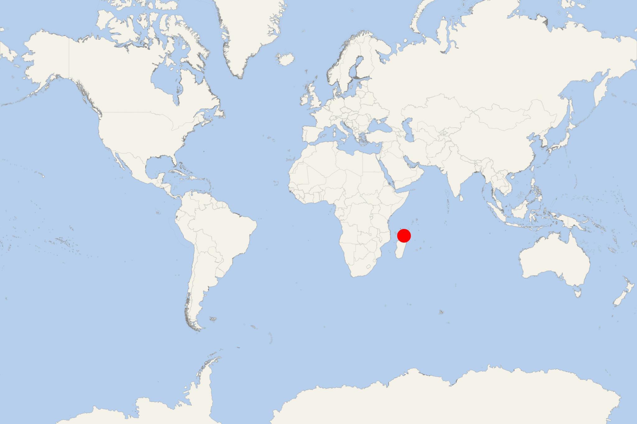
Nosy Komba Island is located between Nosy Be Island (to the north-northwest) and mainland Madagascar (to the south and east). The island has total area 25 km2 (10 mi2) and highest elevation point (Mt Antaninaomby) 622 m (2041 ft). Its largest settlement (Ampagourina) is located on the northern coast.
The isle is a popular tourist travel destination. After Nosy Be, Nosy Komba is the most populated island (population around 4000). The island is accessed by tour boats (approx 15 min ride) from Andoany (fka Hellville) on Nosy Be.
Nosy Komba is best-known for the lemurs (Makis, considered sacred animals by the islanders) and the many inhabited sandy beaches. This island is popular among tourists for tropical forest hiking and reef snorkelling. The Ampangoriana guide circuit hike (1 km) takes about 2 hours.
