Okhotsk (Russia)
Cruise Port schedule, live map, terminals, news
CruiseMapper currently has no ship schedule for Port Okhotsk (Russia)
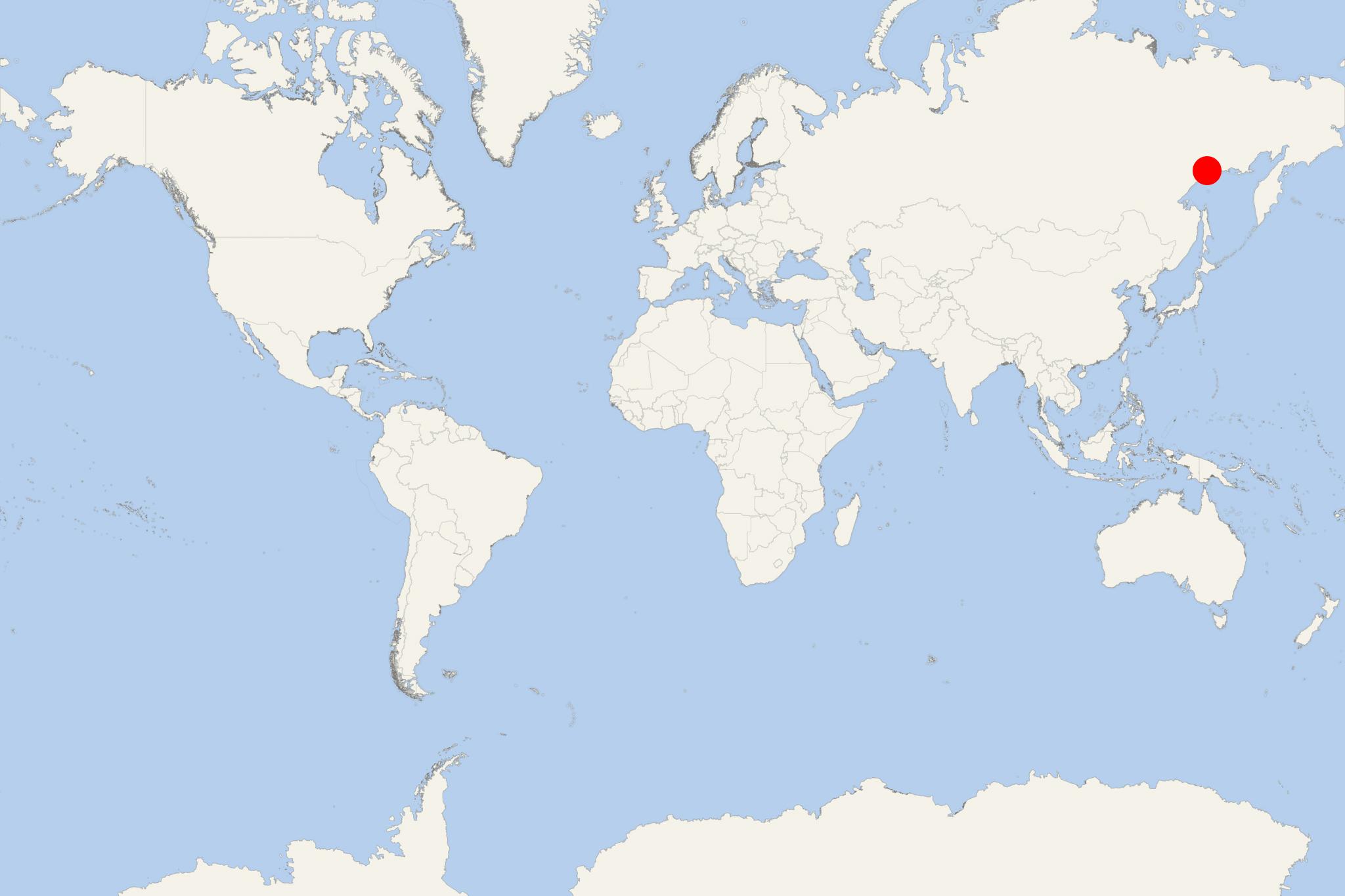
Okhotsk is a Russian port town (work settlement) located at the mouth of Okhota River (Sea of Okhotsk, northwest Pacific Ocean), with population around 4,000. Okhotsk was Russian Empire's main base on the Pacific coast between 1650-1860, but lost importance after Amur Acquisition (1860) from China. It is located where Okhota and Kukhtuy Rivers join and form a harbour.
- The Russians first reached the Pacific in 1639. In 1647, approx 105 km (65 ml) southeast at the mouth of Ulya River (at Okhotsk) were built winter quarters, and in 1649 was built the fort Kosoy Ostrozhok. The town was burnt in 1653 by the local Lamut people.
- In 1714, Peter the Great (1672-1725) sent to Okhotsk a party of shipbuilders to allow faster access to Kamchatka's furs. In the next 145 years, Russia's main seaport on Pacific Ocean was Okhotsk, supplying Kamchatka and other coastal settlements.
- Okhotsk was of military importance during Russian Civil War (1917-1922), when the White Army generals Pepelyayev and Rakitin were based here.

 20°F
20°F 
 Gentle breeze