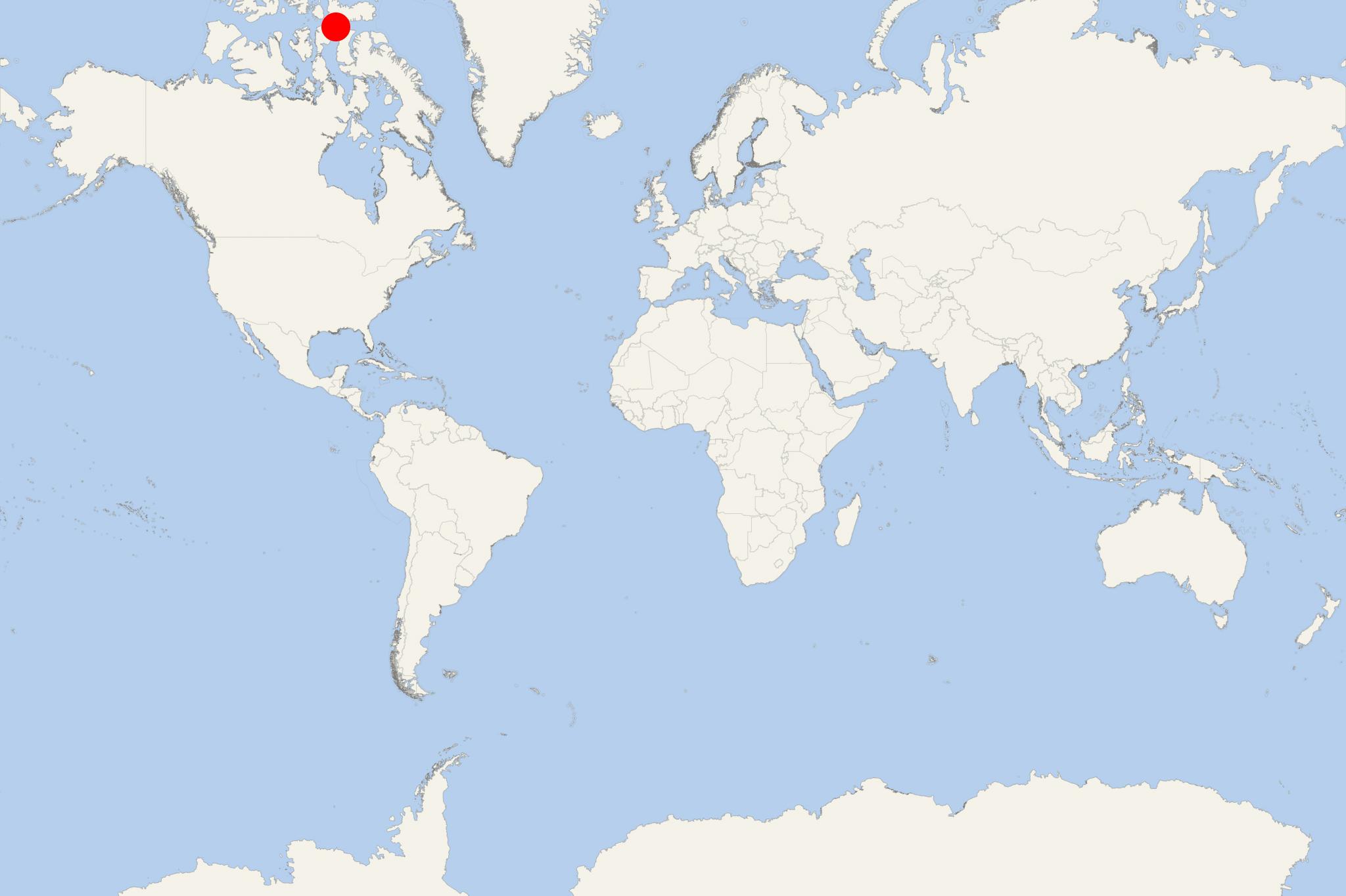
Prince Leopold Island (Nunavut Canada)
Cruise Port schedule, live map, terminals, news
Region
Arctic - Antarctica
Local Time
2026-02-01 04:30
 -23°F
-23°F -30.8°C

 Gentle breeze
4.5 m/s
 -18 °F / -27 °C
 -27 °F / -32 °C
Port Prince Leopold Island cruise ship schedule shows timetable calendars of all arrival and departure dates by month. The port's schedule lists all ships (in links) with cruises going to or leaving from Prince Leopold Island , Nunavut Canada. To see the full itineraries (ports of call dates and arrival / departure times) and their lowest rates – just follow the corresponding ship-link.
| Day | Ship | Arrival | Departure |
|---|---|---|---|
| 29 August, 2027 Sunday | 12:00 | 18:00 |
Prince Leopold Island is located in Nunavut, Arctic Canada. Approx 13 km (8 mi) to the southwest is the Somerset Island.
Prince Leopold is an uninhabited, oval-shaped island (sized east-west 14 km / 9 mi, and north-south 8 km / 5 mi), covering a total area of 64 km2 (25 mi2). Its highest elevation point is 265 m (869 ft).
The island was named in 1819, honouring Prince Leopold, who in 1830 became King Leopold I of Belgium (country's first-ever king, 1790-1865).
Prince Leopold Island is designated as Important Bird Area and listed as "migratory bird sanctuary and terrestrial habitat site". Its fauna is largely represented by the seabird species thick-billed murres (aka Brunnich's guillemot), northern fulmars (aka Arctic fulmar) and black-legged kittiwakes. They breed on the island's cliff ledges, between late-May and mid-September.
Prince Leopold Island cruise terminal
Most cruise ships to Prince Leopold Island also anchor at Port Leopold - on Somerset island's northeastern tip.
