Similan Islands Thailand
Cruise Port schedule, live map, terminals, news
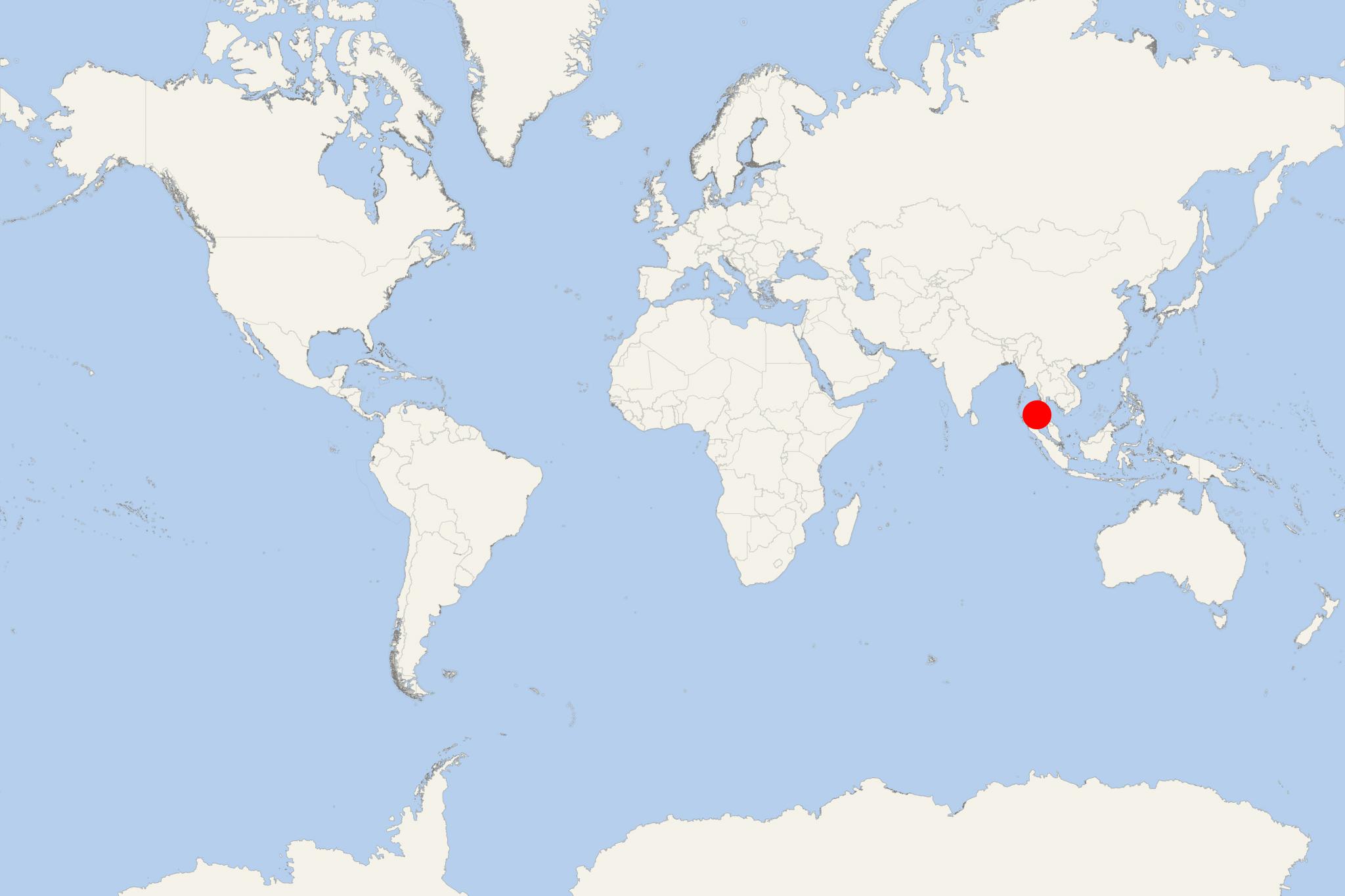
Thailand's Similan Islands is an archipelago (island group) in Andaman Sea, located approx 70 km off mainland Thailand (Phang Nga Province). The archipelago consist of 11 islands, with total area around 140 km2 (54 mi2), of which land area 26 km2 (10 mi2).
Mu Ko Similan National Park was established in 1982, after 1-year assessment by the country's forestry department. For convenience, the country's National Parks Department has assigned numbers to these isles. Kok Tachai and Koh Bon were added to the park in 1998. The largest island is Koh Similan.
The sea in its area has an average depth of 60 ft. Underwater it's full of coral reefs and rock formations in several shapes, resembling deer, brains, mushrooms, leaves. Above the water are found diverse species like the Nicobar pigeon, flying fox, mangrove monitor lizards and more. Ko Huyong has the widest and longest beach in the park, but the park strictly prohibits any tourists from landing on Ko Similan as the beach is a site where turtles come to lay eggs.
Similan National Park is a popular diving site. Westside diving site feature underwater granite boulders with swim-throughs. Eastside diving sites feature sloping coral reefs and sandy patches with some boulders in-between. The most famous dive site is East of Eden (off Island 7).
Similan Islands Thailand cruise terminal
Access to Similan Islands is easiest out of Tablamu port, south of Khao Lak, Phang Nga Province. Boats depart daily from October to May. The trip takes 3 hours each way aboard slow boats or 70 min via speedboat. The park is closed during the rainy season, from May 16 until October 31, every year

 83°F
83°F 
 Gentle breeze