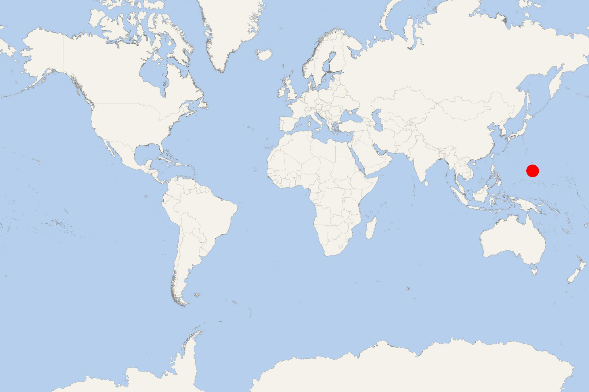
Tinian Island USA (San Jose, Marianas)
Cruise Port schedule, live map, terminals, news
Region
Australia - New Zealand - Pacific Ocean Islands
Local Time
2025-07-03 15:37
 84°F
84°F 28.9°C

 Light breeze
3.3 m/s
 85 °F / 30 °C
 84 °F / 29 °C
Tinian Island is one of the three principal Mariana Islands/aka Marianas (USA commonwealth/unincorporated dependent territory) located in the Western Pacific Ocean. The island has total area approx 101 km2 (39 mi2) and population around 3,000.
Cruise ships to Tinian Island Marianas dock/anchor at San Jose Port (locode MPTIQ) on the southwestern coast.
Tinian is approx 9 km (6 mi) southwest of Saipan Island, both divided by the Saipan Channel. The highest elevation (Mt Lasso) is 171 m (561 ft). Together with neighboring Aguijan Island (uninhabited), Tinian forms a municipality with largest village San Jose.
Northern Marianas' other cruise destination is Guam Island.
Most Tinian inhabitants are Chamorros (around 2/3). There are also East Asian, Filipino, Bangladeshi and European-descended minorities. The island features diverse flora and fauna, limestone cliffs and caves, surrounding coral reefs with abundant marine life, warm waters (great for scuba diving, snorkeling and sport fishing). Tinian monarch is the island's only endemic bird species.
Much of the island's economy is dependent on tourism. Agriculture is on a subsistence level. Tourist infrastructure is poorly developed. San Jose has a few smaller hotels, bars and restaurants. Tinian Airport (served by Star Marianas Air) offers daily scheduled flights. Ferryboat service between Saipan and Tinian was operated twice per day, but was terminated due to financial losses.
