Twillingate NL (Newfoundland-Labrador Canada)
Cruise Port schedule, live map, terminals, news
Region
East Coast USA and Canada New England
Local Time
2026-01-17 04:27
 23°F
23°F -4.8°C

 Near gale
15.7 m/s
 40 °F / 5 °C
 19 °F / -7 °C
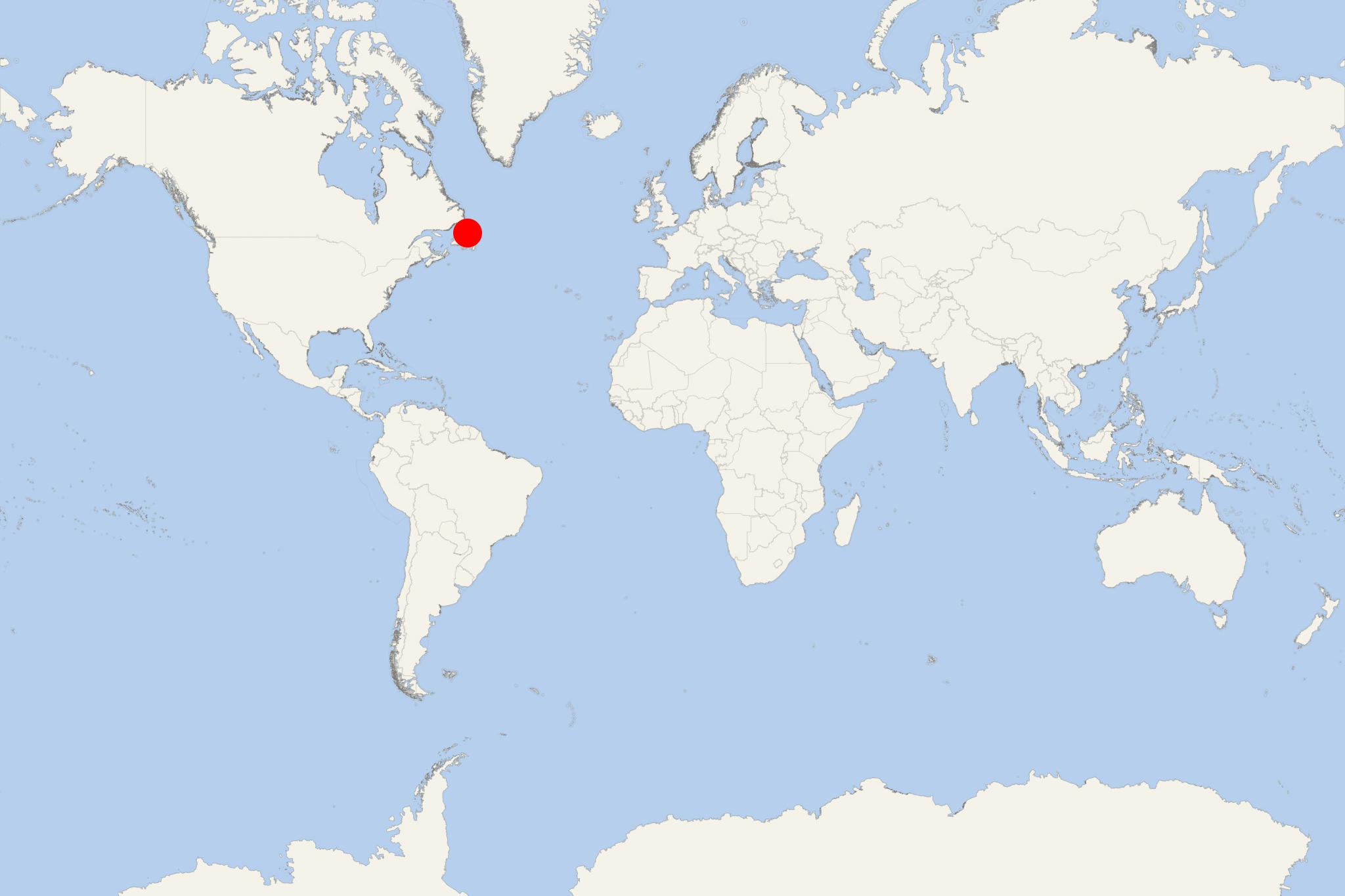
Twillingate NL (port locode CNTWL ) is a town in Canada's Newfoundland and Labrador province, with population over 2,000. The port is on Notre Dame Bay (Twillingate Island), just off Newfoundland Island's northeastern coast.
The largest towns in close proximity (approx 55-70 mi / 90-110 km to the south via Route 340) to Twillingate are Gander (pop ~12000) and Lewisporte (pop ~3500).
The Walter B. Elliott Causeway (1973-built) is part of Route 340 (highway) that connects Twillingate Island to Newfoundland Island, as well as interlinks Twillingate-Lewisporte-Summerford. Route 340 (aka Road to the Isles) has total length 66 mi (106 km).
The Twillingate Islands region's economy is currently based on services, logging, tourism, and some commercial fishing (mainly crabs and lobsters).
