Tyuleny Island (Russia)
Cruise Port schedule, live map, terminals, news
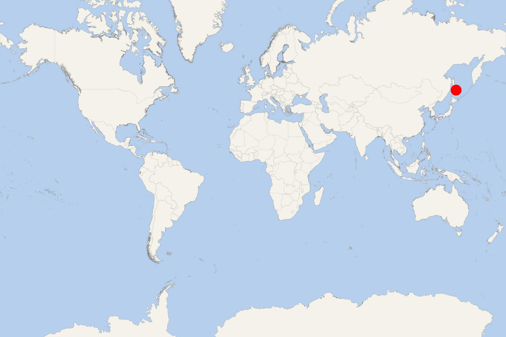
Tyuleny Island (officially Ostrov Tyuleniy) is located in Sea of Okhotsk (northeast Asia), and east of Sakhalin island. The isle administratively belongs to Russia's Sakhalin Oblast (Far East District). In the period 1905-1945 (the end of WW2) it belonged to Imperial Japan's Karafuto Prefecture.
Tyuleniy Island is approx 19 km (12 ml) to the south of Cape Patience (Sakhalin island's Terpeniya Peninsula). It has length of 1,6 lm (1 ml) and width of just 19 m (62 ft).
When it was an Imperial Russian territory, in the period 1854-1897 on the island were illegaly hunted fur seals. Reportedly, over 100,000 animals were killed, with over half of those taken by foreign ships (including British vessels). There are still many seals on its shores and in the surrounding waters. Seabirds are also abundant.
- Cruise Industry

Crystal Endeavor to Make 3 Japan-Based Cruises from Tokyo 2020
The expedition ship Crystal Endeavor, designed to cruise to Antarctic Peninsula, Adelie Coast, Ross Sea, South Georgia (UK), Falkland Islands...
June 19, 2019 - show more news

 53°F
53°F 
 Strong breeze