Boa Vista Island (Sal Rei, Cape Verde)
Cruise Port schedule, live map, terminals, news
Region
Africa - Indian Ocean Islands
Local Time
2026-02-23 18:43
 71°F
71°F 21.6°C

 Mod. breeze
6.7 m/s
 78 °F / 26 °C
 68 °F / 20 °C
Port Boa Vista Island cruise ship schedule shows timetable calendars of all arrival and departure dates by month. The port's schedule lists all ships (in links) with cruises going to or leaving from Boa Vista Island, Sal Rei, Cape Verde. To see the full itineraries (ports of call dates and arrival / departure times) and their lowest rates – just follow the corresponding ship-link.
| Day | Ship | Arrival | Departure |
|---|---|---|---|
| 1 April, 2026 Wednesday | 08:00 | 19:00 |
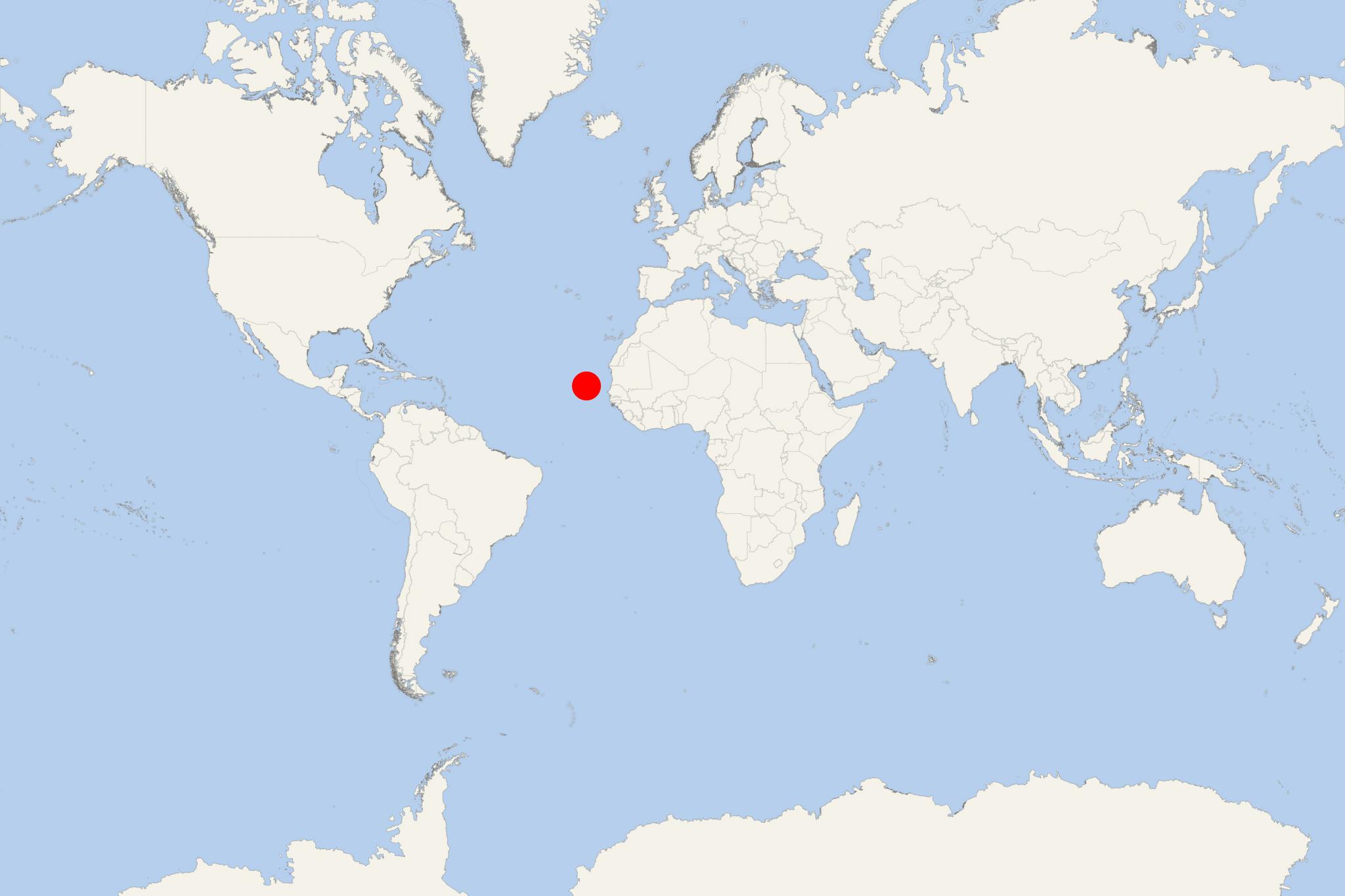
Boa Vista Island (Sal Rei port locode CVSAR) is the easternmost of the Cape Verde Islands. It is located in the archipelago's Barlavento group.
Boa Vista is known for the traditional music and marine turtles, as well as its ultramarathon, sand dunes and beautiful beaches.
The island also constitutes the Boa Vista municipality, which has two parishes - Sao Joao Baptista and Santa Isabel.
Boa Vista Island has a total population of around 11,000, a land area of 620 km2 (240 mi2), length of 31 km (19,3 mi) and a width of 29 km (18 mi) and highest elevation point (Monte Estância) 387 m (1270 ft).
On the island, there are a college, middle school, high school, churches, large hotels and a cruise port that underwent an expansion in early to mid-2010.
Many vacation villas and hotels had popped up in the south and west parts of the island, and west of Rabil and in Curral Velho when they were connected with newly paved roads.
Boa Vista Island cruise terminal
Cruise ships to Boa Vista Island Cabo Verde dock (anchor) at Sal Rei - port town on the northwestern coast.
- Cruise Industry

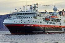
Hurtigruten's ship MS Spitsbergen offers African island cruises in 2022
Hurtigruten Expeditions is adding West Coast Africa and two archipelagos - Cape Verde and Bissagos, to its list of new destinations. The 13-day...
August 15, 2021 - show more news
