

Diu Island (India)
Cruise Port schedule, live map, terminals, news
 81°F

 Light breeze

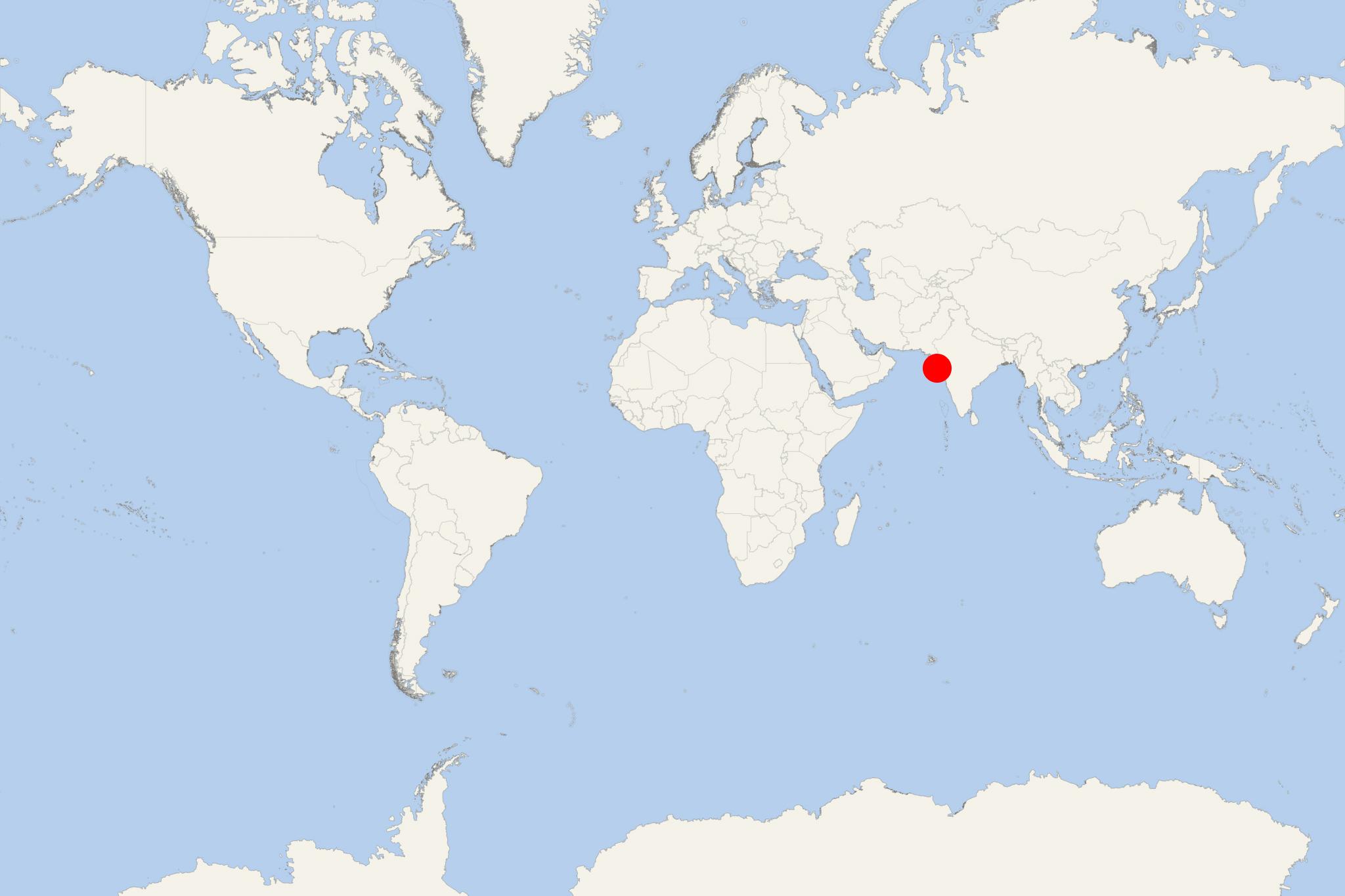
Diu Island (port locode INDIU) is just off mainland India (Kathiawar Peninsula's southern coast) and separated from it by a tidal creek. The isle has total area of 40 km2 (15 mi2) and population around 45,000. On the island are located Diu Town, Diu Fort and Diu Airport. Also in India's Gujarat State, approx 175 km (110 mi) to the northeast is the worldwide-famous Alang Shipbreaking Yard.
Diu Island's attractions include St Paul's Church - a Portuguese (Gothic style) building completed in 1610 and best-known for its wood carving craftsmanship. Part of St Thomas Church (completed in 1598) is a museum housing antique statues, stone inscriptions, amazing wooden carvings. The island also has several chapels. Diu Lighthouse is the highest elevation point (8 m / 26 ft).
Diu Fort (built by the Portuguese in 1535) is on the western coast. Portuguese ruled over Diu Island between 1537 and 1961. Diu Town is located to the west of Diu Fort. This massive fort features a double moat, an array of cannons and cannonballs scattered around. A section of the fort serves as jail.
Fortim do Mar fortress is another impressive stone structure built at the creek's mouth (in the sea). It is located approx 2 km from the jetty. Fortim do Mar has ist own lighthouse and a small chapel.
Diu Airport is a civilian aerodrome also serving the neighbouring Gujarat territories, including Jafrabad and Veraval. The airport (1954-built by the Portuguese) started operations in 1955. The airline connected Diu Island with Daman City, Goa and Karachi (Pakistan). Today, the airport links Diu with Mumbai via the Indian airline "Air India Regional". In December 1961 the airfield was severely damaged after Indian air forces bombed the island. The main runway has length 5922 ft (1826m) and width of 148 ft (45 m). The terminal building has 1 arrival and 1 departure hall (total capacity 200 passengers).
Diu Island cruise terminal
The following map of Diu Island shows the location of all major tourist attractions (including beaches and bird sanctuaries) on the island.
Independent with some planning or transport. Diu’s old town and fort suit a self-guided visit once you reach the town waterfront. For beaches or several sights around the island, arrange a taxi or auto-rickshaw with an agreed return pickup. On a short call, concentrate on the town rather than trying to cover the whole island.
Getting Ashore and Around
Confirm your ship’s docking or tender arrangements and exact passenger landing point before planning your day. Do not assume the location shown on the port map is a walk-off cruise terminal. If your ship anchors offshore, allow for tender queues and use the last-tender time as your return deadline.
Once in central Diu, walking is practical between the waterfront, old-town lanes, St Paul’s Church and Diu Fort. Narrow streets, intermittent pavements and strong sun can make even short distances tiring. A taxi or auto-rickshaw is more useful for the beaches and outlying attractions.
For an independent vehicle trip, agree the itinerary, total fare, waiting time and return location before leaving. Confirm any ship-provided transfer onboard rather than relying on a shuttle being available.
Best Ways to Spend Your Time
Diu Fort and the Old Town
Allow 2–3 hours from central Diu. This is the most straightforward choice for a first visit. Explore the fort’s accessible courtyards, cannons and sea-facing ramparts, then visit St Paul’s Church and walk through the surrounding lanes. The church’s carved wooden interior is worth seeing when open; respect services and dress modestly.
Allow around an hour for the fort itself. Its exposed stone surfaces, uneven ground and steps make this a moderate outing in hot weather. Visitors with limited mobility may prefer a vehicle between the church and fort, with shorter walks at each.
Nagoa Beach
Allow 2–3 hours including transport from town. Nagoa’s curved sandy bay is an alternative for passengers wanting beach time rather than extensive sightseeing. Arrange a return taxi or auto-rickshaw; it is not a practical extension of a short town walk.
Keep the visit simple with a shoreline stroll and refreshments. Swimming and any water activities should depend on current conditions, local instructions and the time available. Do not assume equipment, changing facilities or activities will be operating on arrival.
Ghoghla Beach
Allow 2–3 hours including transport. Across the creek from Diu town, Ghoghla offers a broad sandy beach for a walk or a relaxed break. Choose it as an alternative to Nagoa rather than spending a short call travelling between both beaches.
A prearranged vehicle with a return pickup is the simplest independent option. Check local swimming guidance and allow extra time for the road journey back to your landing point.
A Short Island Drive
Allow approximately 3–4 hours, adjusted to your landing point. With a driver or organized excursion, combine the fort and church with Gangeshwar Temple at Fudam or one beach. Gangeshwar is a coastal shrine where sea conditions affect the experience; expect steps and potentially wet, slippery surfaces.
Naida Caves can be an optional stop only after confirming current public access locally. The passages and uneven footing are unsuitable for passengers who struggle with steps. A guided excursion is useful if you want several stops with transport arranged throughout.
Self-Guided Walking Route
Town Waterfront, Church and Fort
Start and finish: Bunder Chowk on the central waterfront, reached from your confirmed landing point or by transfer. Distance: approximately 3 km (1.9 mi), depending on exploration inside the fort. Walking time: about 50–60 minutes. Total time: 2–3 hours with visits. Difficulty: moderate, mainly because of heat, uneven paving and fort steps.
- Bunder Chowk waterfront: Orient yourself and identify your return meeting point.
- Harbourfront: Walk east towards the fort, looking across the water towards Panikotha, the offshore fortress. Treat it as a viewpoint rather than assuming a boat visit is available.
- Diu Fort: Explore the accessible grounds and ramparts, keeping enough energy for the return walk.
- St Paul’s Church: Continue inland for the church façade and interior if open.
- Old-town lanes: Return towards Bunder Chowk through the town, allowing time for a drink or a brief browse.
This route begins in town, not at a guaranteed cruise passenger exit. Add your transfer time at both ends. Shorten the outing with a vehicle back from the fort or church if the heat becomes uncomfortable.
Practical Tips
- Carry water, sun protection and comfortable shoes with a good grip. The fort offers limited shade.
- Carry Indian rupees for small purchases and local transport.
- Confirm attraction access locally before making a special journey, particularly for Naida Caves.
- For an independent outing, aim to reach the passenger landing or transfer point at least an hour before the announced all-aboard or last-tender time, with a larger margin for beach trips or uncertain transport.
Diu Island hotels
- Cruise Industry

Cordelia Cruises India to add major ports in West Asia from June 2024
According to Jurgen Bailom (President & CEO of Cordelia's parent company Waterways Leisure Tourism Pvt Ltd), the India-based travel brand...
July 9, 2023 - show more news