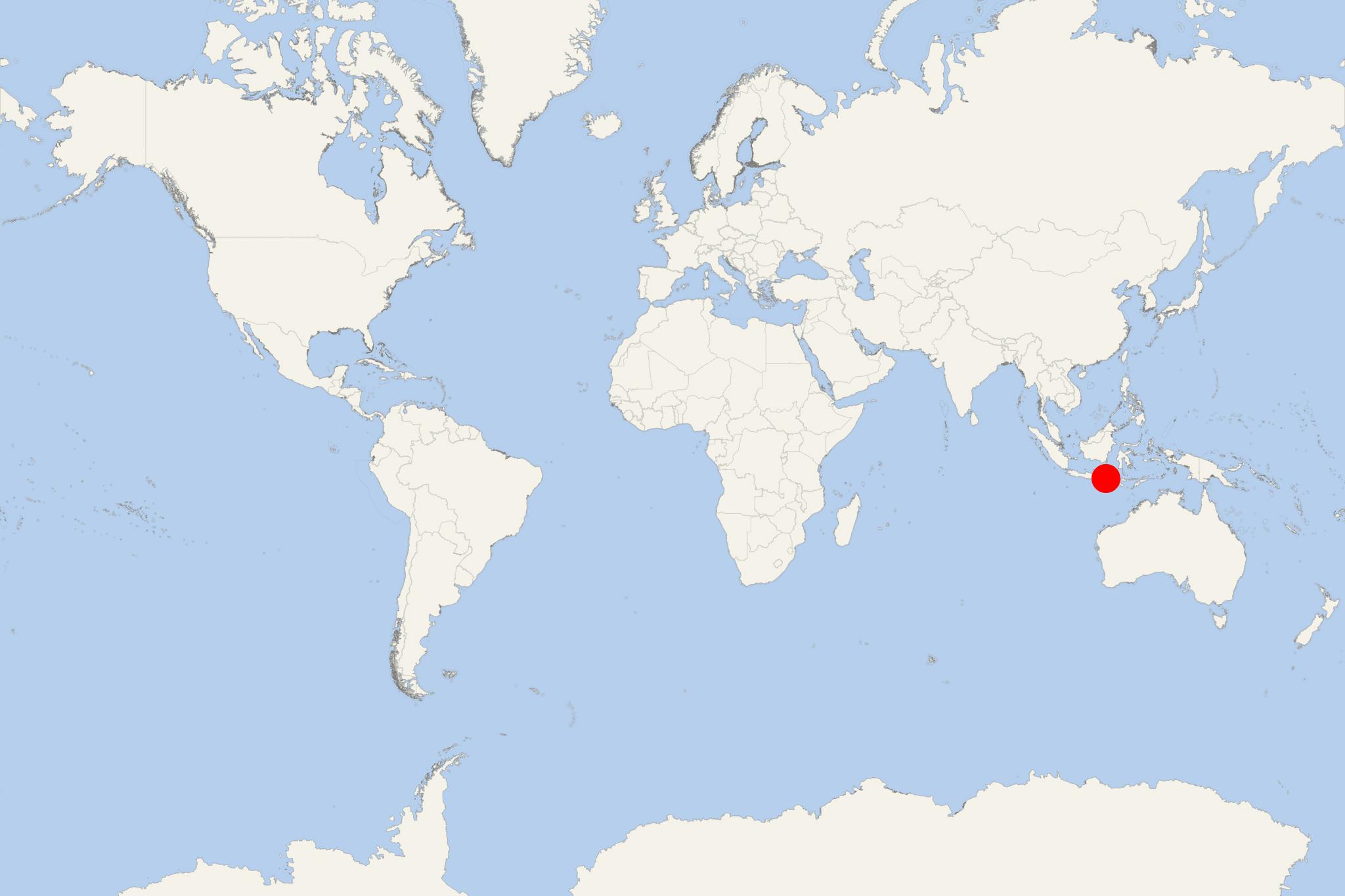
Gili Trawangan Island (Lombok Indonesia)
Cruise Port schedule, live map, terminals, news
Region
Australia - New Zealand - Pacific Ocean Islands
Local Time
2025-08-20 13:10
 82°F
82°F 27.6°C

 Mod. breeze
6.6 m/s
 85 °F / 30 °C
 67 °F / 20 °C
Port Gili Trawangan Island cruise ship schedule shows timetable calendars of all arrival and departure dates by month. The port's schedule lists all ships (in links) with cruises going to or leaving from Gili Trawangan Island, Lombok Indonesia. To see the full itineraries (ports of call dates and arrival / departure times) and their lowest rates – just follow the corresponding ship-link.
| Day | Ship | Arrival | Departure |
|---|---|---|---|
| 7 March, 2027 Sunday | 13:00 | 23:00 |
Gili Trawangan Island is the biggest of Lombok's Gili Islands in Indonesia. Trawangan has length 3 km (2 mi), width 2 km (1,2 mi) and population around 1,500. Of all Gili Islands, Trawangan has the highest elevation - 30 m (98 ft) above sea level.
The name "Trawangan" (meaning "tunnel") is due to the presence of cave tunnel created here by the Japanese occupation forces during WW2 (1939-1945). Trawangan is the most geared towards tourism of the three Gili Islands. The main concentration of accommodations, settlements, diving and recreation business is on the island's eastern side. A local pub (Tîr na Nog) claims that Gili Trawangan is the world's smallest island with an Irish pub.
There are no motorised vehicles on Trawangan (nor on the other two Gilis). Bicycles are the main means of transportation (rented by locals), along with cidomos (horse-drawn carriages). Locals use motorised boats or speedboats for travelling between the islands. Most of Trawangan's first inhabitants were farmers and fishermen. Prior to human settlement, the island had a forest and deer population. The island's economy centres on tourism, as it is too small to support broad scale agriculture, and too remote to provide economically viable commerce or industry.
Since the 1980s, Gili Trawangan has had a reputation as a site where drugs are freely available. Openly advertized are the Psilocybin mushrooms. A range of harder drugs are known to be in circulation. Police presence is low, but Indonesian drug laws are extremely harsh (including death penalty). Locally made spirits caused casualties and even fatalities among locals and tourists in recent years, due to methanol poisoning.
Gili Islands are an archipelago of 3 small islands - Gili Air, Gili Meno, and Gili Trawangan, located just off Lombok Island's northwest coast.
The following map of the Gili Islands also shows the best diving locations in the archipelago.
Gili Trawangan Island cruise terminal
Cruise ships to Gili Trawangan Island dock (anchor) at Kayangan - located on Lombok Island's east coast.
The following map of Lombok Island shows all ports, bays, tourist destinations and attractions. The map also shows all the Gili Islands located around Lombok.
Lombok Island
Tourism is among the island's most important sources of income. Lombok's west coast is the most developed tourism area with modern facilities. This region is centered around Senggigi. The west coast tourist area features over 30 km (19 mi) of coastline paralleled by a coastal road running between Mataram and Ampenan.
This well-developed tourism region extends to Tanjung (northwest) located near Mt Rinjani. It includes also the peninsulas Sire and Medana and the Gili Islands (located very close offshore). The three Gili Islands are usually accessed by tour boats leaving from Bangsal. also from Teluk Nare or Senggigi.
This part of Lombok Island has numerous hotels and seaside resorts ranging from budget to top-luxury. Fast boat services run regularly from Bali Island to Lombok, with direct connections to Gili Islands.
Among Lombok's other main tourist travel destinations are Mt Rinjani, Gili Bidara, Gili Lawang, the parks Narmada and Mayura, Kuta (popular with its white sand beaches) and Sekotong (popular scuba diving location).
Southern parts of Lombok Island are considered among the world's best surfing locations. The surfing season runs between late March and late September. Among the most popular sites is the Desert Point (at the island's southwestern tip).
At the northwestern coast (near Tanjung and the Gili islands) are located many of the island's luxury resorts and villas. A new boat / yacht marina was built at Medana Bay.
The island's both premium golf courses are also here - Lombok Golf Kosaido Country Club (near Pamenang) and GEC Rinjani Country Club (west of Mataram City).
