Handa island Scotland (Inner Hebrides)
Cruise Port schedule, live map, terminals, news
Region
Ireland - UK - British Isles
Local Time
2026-02-07 10:22
 40°F
40°F 4.6°C

 Fresh breeze
10.1 m/s
 44 °F / 7 °C
 35 °F / 2 °C
Port Handa island Scotland cruise ship schedule shows timetable calendars of all arrival and departure dates by month. The port's schedule lists all ships (in links) with cruises going to or leaving from Handa island Scotland, Inner Hebrides. To see the full itineraries (ports of call dates and arrival / departure times) and their lowest rates – just follow the corresponding ship-link.
| Day | Ship | Arrival | Departure |
|---|---|---|---|
| 29 April, 2026 Wednesday | 14:00 | 18:00 |
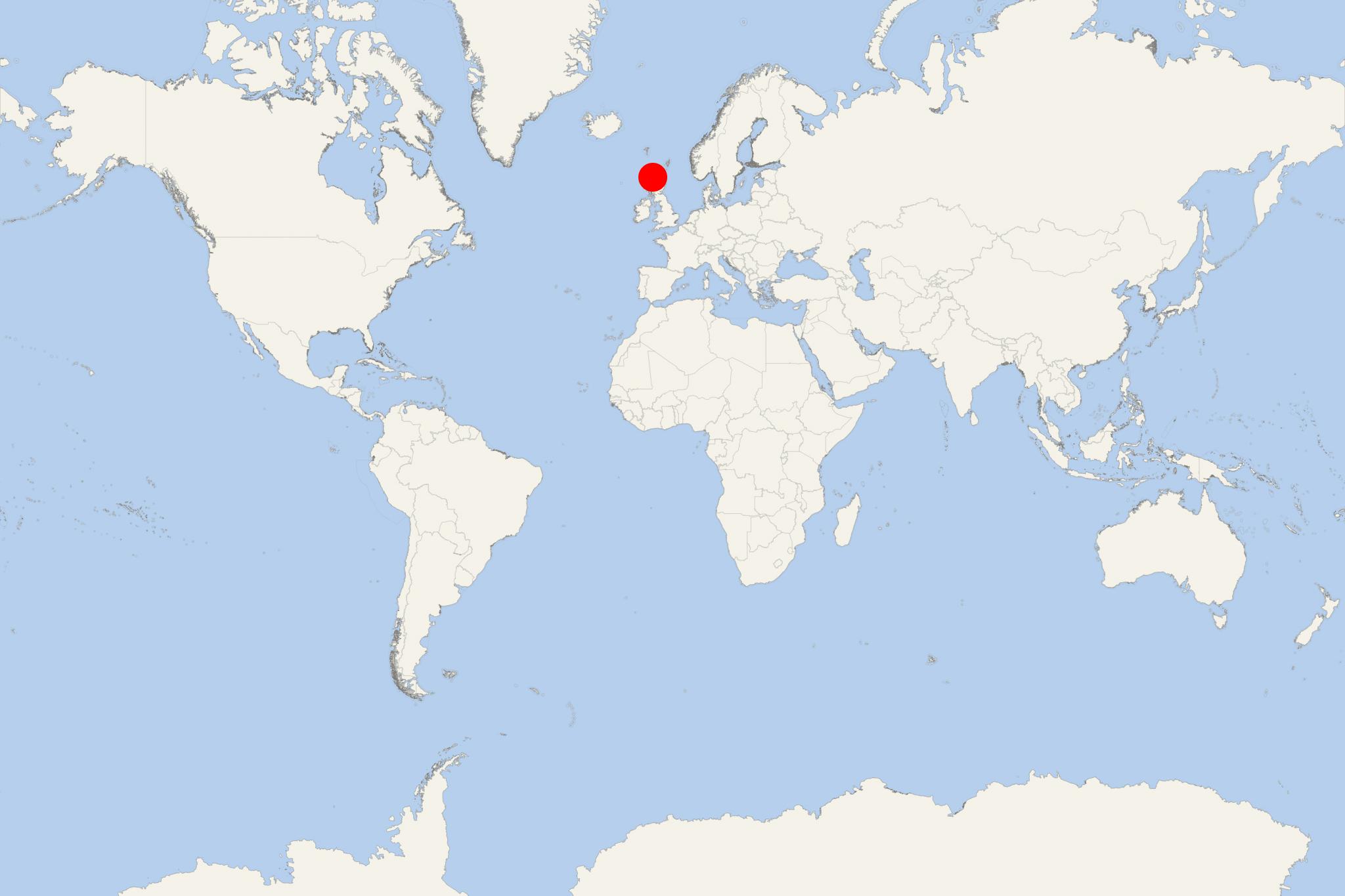
Handa Island is located off the west coast of Sutherland, Scotland. Its name is of mixed Norse and Gaelic, translated as "island at the sandy river".
- The isle has a total area of 1,2 ml2 (3,1 km2) and highest elevation point (Sithean Mor) 123 m (404 ft). The north and west coasts are surrounded by high cliffs - reaching up to 100 m / 328 ft) and covered with birds. The south and east coasts have beaches. The isle is separated from the mainland by the Sound of Handa. Near Handa are located the isles Glas-Leac (south), Stac an t-Sealbhaig (north) and Eilean an Aigeach (northeast).
- There is a ferry service to the isle of Handa out of Tarbet (on mainland Scotland). Tourist boat trips are operated to Handa from Fanagmore (on the mainland).
- In the ancient past, Handa was used as burial place. Remains of a chapel were found in its the southeastern part.
- Today, Handa is uninhabited island. Its last recorded population (in 1841) was 65. In 1848 they all emigrated. Its former inhabitants had a parliament (which met daily) and the island's oldest widow was considered "Queen".
- This Scotich isle is noted for its birdlife - Atlantic puffins, razorbills (colonial seabird) and guillemots (auk seabirds).
isle of Handa is an SSSI (Site of Special Scientific Interest) and is administered by the Scottish Wildlife Trust. Despite being a nature reserve, the isle is visited by over 5,000 tourists (including small cruise ship passengers) per year.
Handa island Scotland cruise terminal
Cruise ships to Handa Island dock (anchor) at Tarbet - port town on mainland Scotland's northwestern coast.
