Havana IL (Illinois)
Cruise Port schedule, live map, terminals, news
Region
Canada and USA Rivers
Local Time
2026-02-09 12:14
 39°F
39°F 4.1°C

 Light breeze
2 m/s
 46 °F / 8 °C
 23 °F / -4 °C
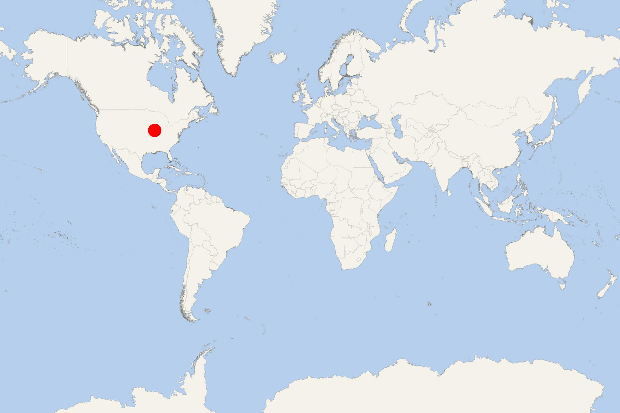
Havana IL (port locode USHVV) is an Illinois River/Mississippi River cruise port and town in Illinois USA (Mason County) with population around 3,000. The current settlement (as Ross's Ferry) was established in the early-19th-century (1948-incorporated) and was later named after Cuba's capital Havana.
The town is on the Illinois River and near/to the southwest of the Chautauqua National Wildlife Refuge (4388 acres/~7 mi2/~18 km2 of wetland) and is popular as a fishing and hunting destination. Other popular tourist activities include driving along the scenic Illinois River Road (the route of the French explorers in the late-17th-century) and touring the Havana Loop (Illinois River Country Nature Trail).
As a cruise port, Havana IL is included in the schedule of AQV-American Queen Voyages/fka AQSC-American Queen Steamboat Company.
The next table shows AQV ship's American Countess itinerary (8-night/9-day "Ottawa to St Louis Cruise Tour"/and the reverse) that visits Havana. Complimentary shore excursions are provided in all visited ports/cities.
| Date / Time | Port |
|---|---|
| DAYS 1-2-3 (overnight) | Departing from Ottawa, Illinois (pre-cruise hotel stay) |
| DAY 4 | Peoria, Illinois |
| DAY 5 | Havana, Illinois |
| DAY 6 | Illinois-Mississippi river cruising |
| DAY 7 | Hannibal, Missouri |
| DAY 8 | Grafton, Illinois |
| DAY 9 | Arriving in St Louis, Missouri (debarkation in Alton IL) |
The voyage is priced from ~US$3600 per person.
Illinois River
The Illinois River is one of the Mississippi's principal tributaries and has length ~ 273 mi (439 km). The river originates in Chicago (Lake Michigan), flowing to the southwest across Illinois and emptying into the Mississippi River near Grafton.
In the 18th-19th-centuries, the Illinois River has always been an important trade waterway connecting the Mississippi with Lake Michigan (the Great Lakes). The river's importance for commercial shipping increased since the opening (in 1848) of the "Illinois and Michigan Canal" (length 96 mi / 154 km) connecting with the Chicago River and running between Chicago IL (Bridgeport neighborhood) and LaSalle IL.
The Canal's transportation operations ceased in 1900 when was opened the "Chicago Sanitary and Ship Canal"/aka Chicago Drainage Canal (length 28 mi / 45 km) connecting the rivers Chicago and Des Plaines. With the Chicago Drainage Canal (1907-extended), the Chicago River's flow was reversed (now out of Lake Michigan).
In 1933 was completed and opened of the Illinois Waterway (length 336 mi / 541 km) connecting the Calumet River (Chicago) and the Illinois River (Grafton). The waterway has 8x locks, the upper/first one (T.J. O'Brien lock and dam in Chicago IL) is approx 7 mi / 11 km from Lake Michigan, while the lower/last one (LaGrange lock and dam in Beardstown IL) is 90 mi / 140 km from the Mississippi. The other 6 locks and dams are in the IL's towns Lockport (Lockport), Joliet (Brandon Road), Morris (Dresden Island), Marseilles (Marseilles), North Utica (Starved Rock) and Peoria (Peoria).
Havana IL cruise terminal
WITH
