Kerch (Crimea Russia-Ukraine)
Cruise Port schedule, live map, terminals, news
Region
Mediterranean - Black Sea
Local Time
2026-01-30 14:20
 48°F
48°F 8.9°C

 Fresh breeze
9.4 m/s
 51 °F / 11 °C
 46 °F / 8 °C
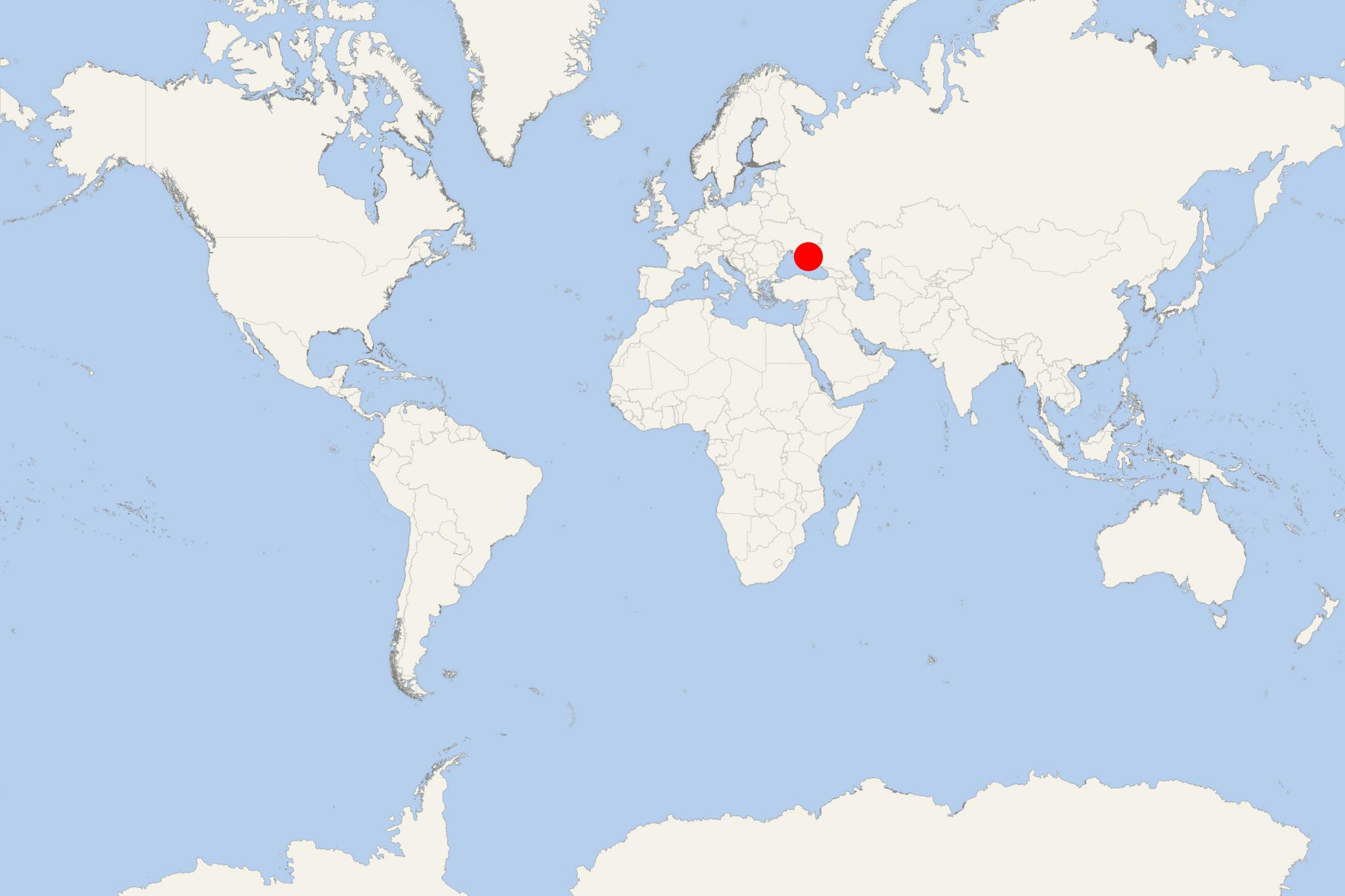
Kerch is an Azov-Black Sea port and city on Crimea Peninsula, with a population of around 150,000. Previously part of Ukraine, since 2014 Kerch is part of the Russian Federation (Republic of Crimea). The other major Russian Crimea ports are Sevastopol, Yalta, Feodosia, Yevpatoria.
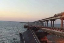
Kerch Strait separates the Azov Sea from the Black Sea. In 2015-2018 was built Crimean Bridge. This is a combined road-railroad bridge (actually 2 parallel bridges). By length (11 km / 11 ml), Crimean Bridge is ranked Europe's longest. The bridge connects directly Kerch with Taman (Krasnodar Krai, Russia).
The town (under the name Panticapaeum) was founded as a Greek colony in the 7th century BC, making it one of the oldest Crimean cities. In the 6th-7th centuries AD, the town (renamed Bospor) was ruled by Byzantine Empire (395-1453) and developed under Greek Christianity. In the 7th century was conquered by the Khazars and renamed Karcha. In the late-10th century, Khazaria was conquered by Kievan Rus.
In the 13th century, Crimea was invaded by the Mongols. In 1318 AD, the town (named Cerco) became a colony of the Republic of Genoa (1005-1797). In 1475, it became part of the Ottoman Empire (1299-1922), renamed Kerch, and served as a slave market. In 1790 it became part of the Russian Empire (1721-1917). In the early-19th century, Kerch became a major trade hub and fishing port.
Today, Kerch is an important seaport (locode UAKEH) and resort destination, with main industries metallurgy, shipbuilding, ship repairs, floating docks, commercial fishing, tourism, aircraft repairs, oil and gas, manufacturing (glass-optics, instruments, machinery.
- Accidents

Ferry service set up to bypass damaged Kerch Strait bridge in Crimea
Russia's Ministry of Transport set up a ferry service across the Kerch Strait in order to take over vehicle traffic, offsetting the impact of the...
October 10, 2022 - Accidents

VIDEO: Two Ships Catch Fire in the Kerch Strait
Two vessels in Kerch Strait (close to Crimea Russia) caught fire on Monday, January 21, when an explosion occurred, which forced crew members to...
January 21, 2019 - Cruise Industry

Ferry Line to Be Opened from Crimea to Turkey
Ferries will connect Crimea and Turkey by 2018 fall. The ferry line will link a number of ports on Crimea Peninsula (the largest of which are...
August 17, 2018 - show more news
