Yevpatoria (Crimea Russia-Ukraine)
Cruise Port schedule, live map, terminals, news
Region
Mediterranean - Black Sea
Local Time
2026-02-02 15:03
 25°F
25°F -3.8°C

 Fresh breeze
9.9 m/s
 29 °F / -1 °C
 20 °F / -6 °C
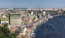
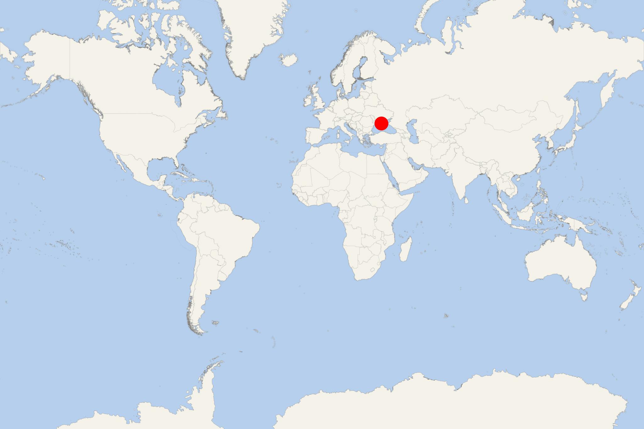
Yevpatoriya is a Black Sea port and city on Crimea Peninsula, with a population of around 105,000. Previously part of Ukraine, since 2014 Yevpatoria is part of the Russian Federation (Republic of Crimea). The other major Russian Crimea ports are Sevastopol, Yalta, Feodosia, Kerch.
The first settlement (Kerkinitis) was established as a Greek colony around 500 BC. In the 7th-10th century, Eupatoria was ruled by Khazars, later by Cumans, Mongols, and Crimean Khanate (1449–1783, Tatar-Ottoman Turks). In 1783, the entire Crimea was added to the Russian Empire. During USSR times, in the city were built and operated 78 sanatoriums with total capacity 33,000 beds. Among the best-known city attractions are Lake Moynaki, Golden Beach, Juma-Jami Mosque (early 16th century), Eupatorian Kenassas (early-19th century temple complex).
Yevpatoriya is a major seaport (locode UAZKA), rail hub, and resort town, which during the summer months is visited by thousands of domestic tourists coming for beach recreation. The city's main industries are commercial fishing, food processing, winemaking, quarrying (limestone), weaving, building materials, manufacturing (machinery, furniture), engineering and electronics, aircraft construction and repair, tourism.
- Cruise Industry

Ferry Line to Be Opened from Crimea to Turkey
Ferries will connect Crimea and Turkey by 2018 fall. The ferry line will link a number of ports on Crimea Peninsula (the largest of which are...
August 17, 2018 - show more news
