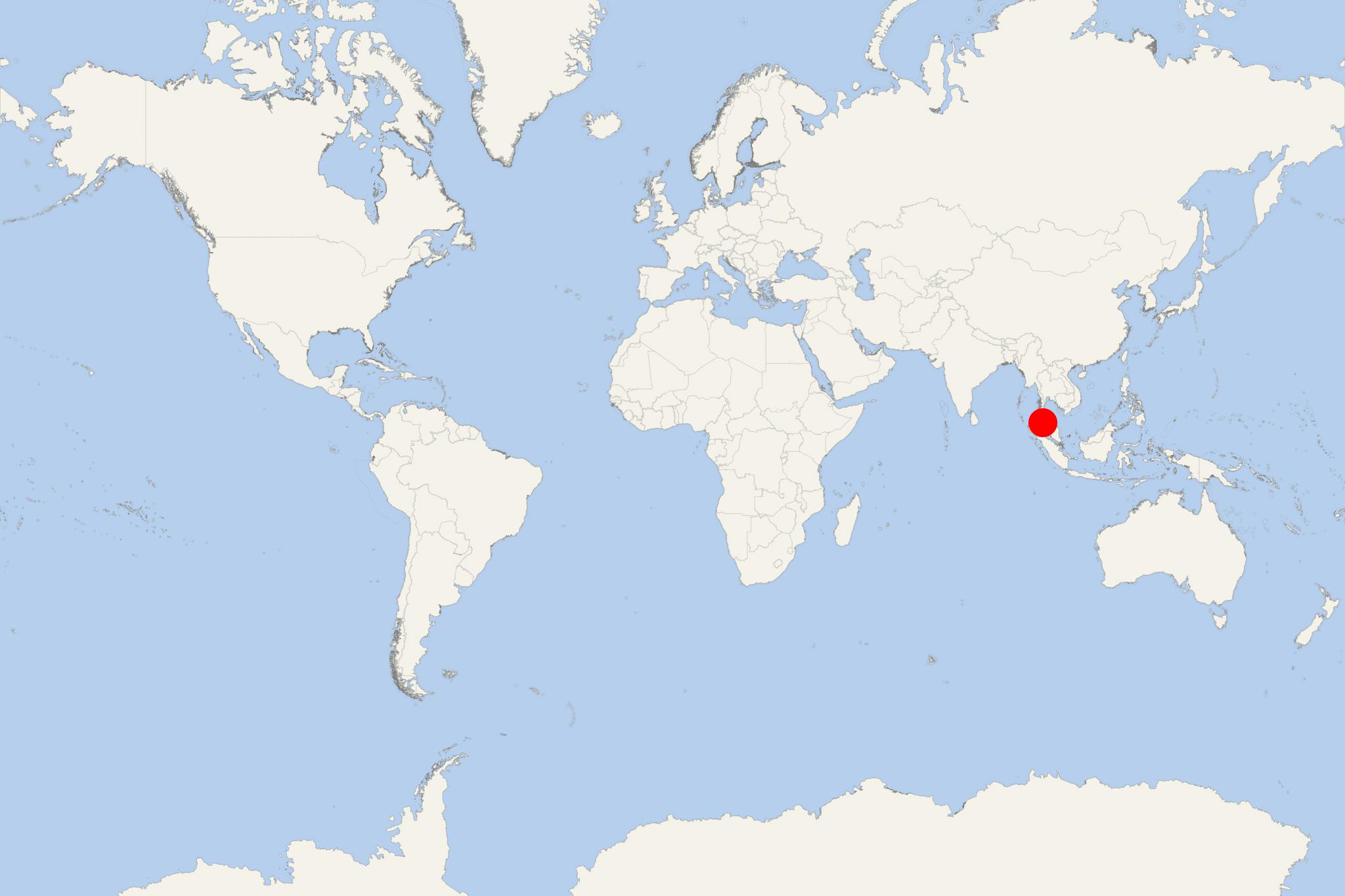
Koh Adang Island Thailand
Cruise Port schedule, live map, terminals, news
Koh Adang Island is the second largest in Thailand's Tarutao National Marine Park. It is located very close to Koh Lipe island. Both are part of Butang Archipelago (aka Adang Archipelago), which also includes Koh Rawi (the group's largest), Koh Butang, Koh Tanga, Koh Taratao and Koh Chuka.
The island has length 6 km (4 mi) and width 5 km (3 mi), with highest elevation point 690 m (2265 ft).
Ko Adang is very quiet and undeveloped, with sandy beaches and an abundant coral reef. The landscape is hilly and marked by a dense jungle forest with two waterfalls.
There are hiking trails through the jungle, with points offering views over Lipe Island. On the island's southern tip there are tourist camping facilities, bungalows, ranger station. Long-tail boats offer sightseeng tours around the island.

 82°F
82°F 
 Gentle breeze