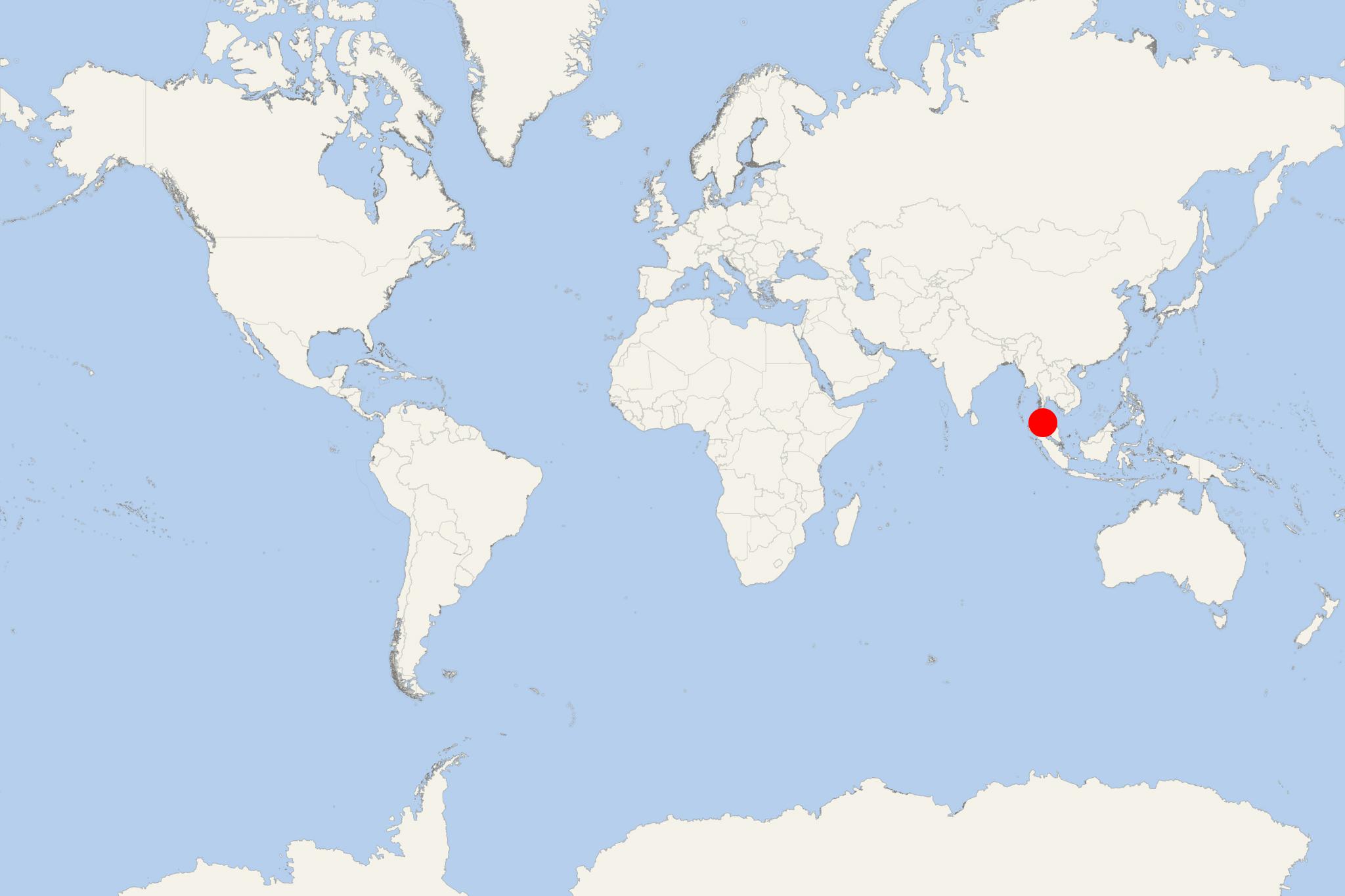
Koh Rawi Island Thailand
Cruise Port schedule, live map, terminals, news
Koh Rawi Island is the largest in Thailand's Tarutao National Marine Park and part of Butang Archipelago (aka Adang Archipelago). The group also includes Koh Adang (second largest), Koh Butang, Koh Tanga, Koh Taratao and Koh Chuka.
Koh Rawi is uninhabited and has some of Adang Archipelago's best beaches. Most tourists visit the island on longtail tour boats from the nearby Koh Lipe (just 1 km away) and only for a short lunch stop, Like Adang Island, Rawi is very quiet and undeveloped, with sandy beaches and an abundant coral reef. The landscape is hilly, with a dense old jungle forest, hiking trails, two ranger stations with open-air shacks.
Hiking trails run from the beaches to the jungle. After 20-min hiking from Haad Sai Khao (ranger station) there is a waterfall cascading down behind Ratcha Bay. All facilities on the island are closed in the period May 15 through October 15. Tents can be rented from the ranger stations. Camping requires permission from the rangers.

 82°F
82°F 
 Gentle breeze