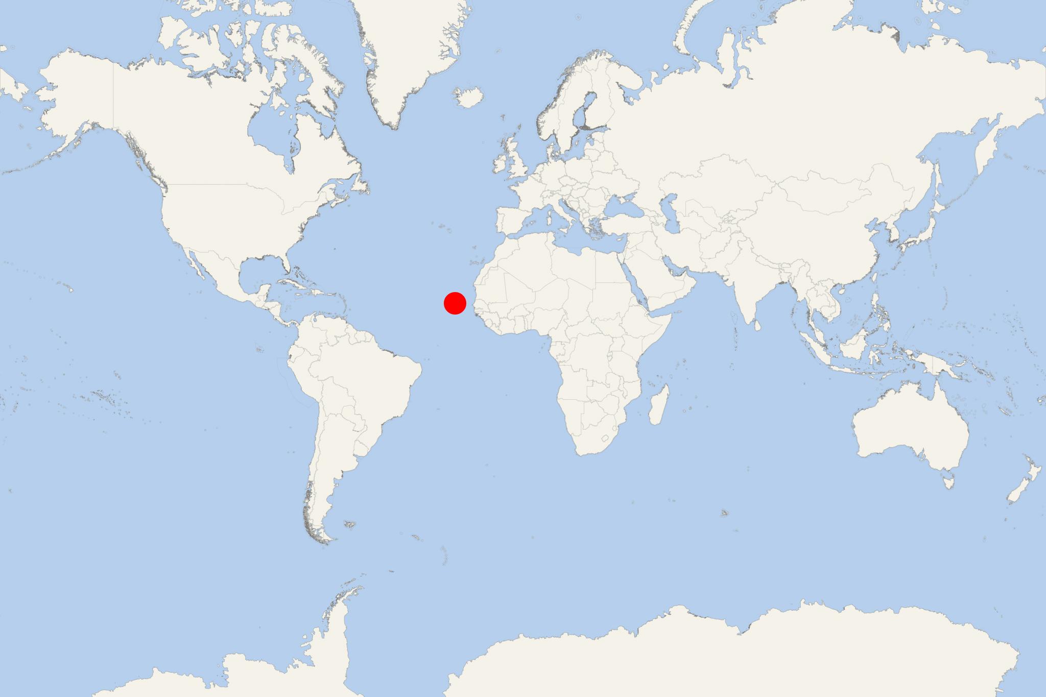
Maio Island (Porto Ingles, Cape Verde)
Cruise Port schedule, live map, terminals, news
Region
Africa - Indian Ocean Islands
Local Time
2026-01-24 19:02
 71°F
71°F 21.5°C

 Fresh breeze
8.8 m/s
 71 °F / 22 °C
 70 °F / 22 °C
Port Maio Island cruise ship schedule shows timetable calendars of all arrival and departure dates by month. The port's schedule lists all ships (in links) with cruises going to or leaving from Maio Island, Porto Ingles, Cape Verde. To see the full itineraries (ports of call dates and arrival / departure times) and their lowest rates – just follow the corresponding ship-link.
| Day | Ship | Arrival | Departure |
|---|---|---|---|
| 8 November, 2027 Monday |
Maio Island (Porto Ingles port locode CVPOI) is the easternmost in Sotavento group of Cape Verde Islands, located south of Boa Vista Island and east of Santiago Island. The island is best known for its sandy beaches and large forest (unusual for Cabo Verde).
The island has population around 10,000, land area 269 km2 (104 mi2), length 31 km (19 mi), width 25 km (16 mi) and highest elevation point (Monte Penoso) 436 m (1430 ft).
Maio (meaning May) was named after its first sighting (May 1, 1460). Off itsisouthern coast was fought the Battle of Maio (January 23, 1814, during the Napoleonic Wars) between British and French frigate ships.
USS Yorktown (16-gun warship) was en-route to Santiago Island but instead visited Maio on September 4, 1840. The ship sunk around Maio 2 days later. Its crew stayed on the island for over a month until another ship (USS Oriole) arrived to pick them up.
The island first prospered from salt collecting. Today, its economy is based on agriculture - corn, beans, pumpkins, melons (during raining season), sweet potato, cassava, papaya, fig, coconuts, tamarind (cultivated the whole year-round). Freshwater scarcity is the biggest issue. Fishing (tuna, sailfish, coral fishes) is also important. However, the island's current-day economy is heavily supported by migrants sending money to their families. Tourism is not well developed.
Maio Island cruise terminal
Cruise ships to Maio Island Cabo Verde dock (anchor) at Vila do Maio (aka Porto Ingles) - port town on the southwestern coast.
