Malapascua Island (Philippines)
Cruise Port schedule, live map, terminals, news
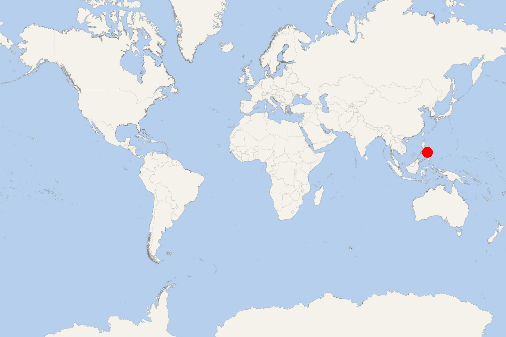
Malapascua Island (port locode PHMAB) is in the Philippines (Visayan Sea), located approx 7 km (4 mi) across a shallow strait from Cebu Island's northernmost tip. The island is quite small, only around 2,5 x 1 km (1,55 x 0,6 mi), and has 8 hamlets.
In the early 1990s, Malapascua Island became popular as a diving destination with amazing coral gardens and coral walls. It is also famous for its vast white-sand Bounty Beach. Nearby dive locations are also Gato Island, Kemod Shoal and Monad Shoal. The best diving site on Malapascua Island is Monad Shoal, located approx 8 km (5 ml) from the island. Monad Shoal is the only place in the world where thresher sharks are regularly seen just before sunrise.
Here are often seen manta rays and thresher sharks. Most of the islanders derive livelihood from tourism, but some still rely on fishing and farming. Tourism's growth has also increased local immigration to Malapascua, thus the search for housing.
Religiously, Malapascua is considered to be the place where the Virgin de los Desamparados made a miracle in 1890. The miracle was said to be a piece of wood which had never burnt. Devotees from various parts of the Philippines come during the island's feast days (May 11-12).
Malapascua Island cruise terminal
Cruise ships to Malapascua Island dock (anchor) at Logon - port town on the southwestern coast.

 80°F
80°F 
 Gentle breeze