Onekotan Island (Kuril Islands Russia)
Cruise Port schedule, live map, terminals, news
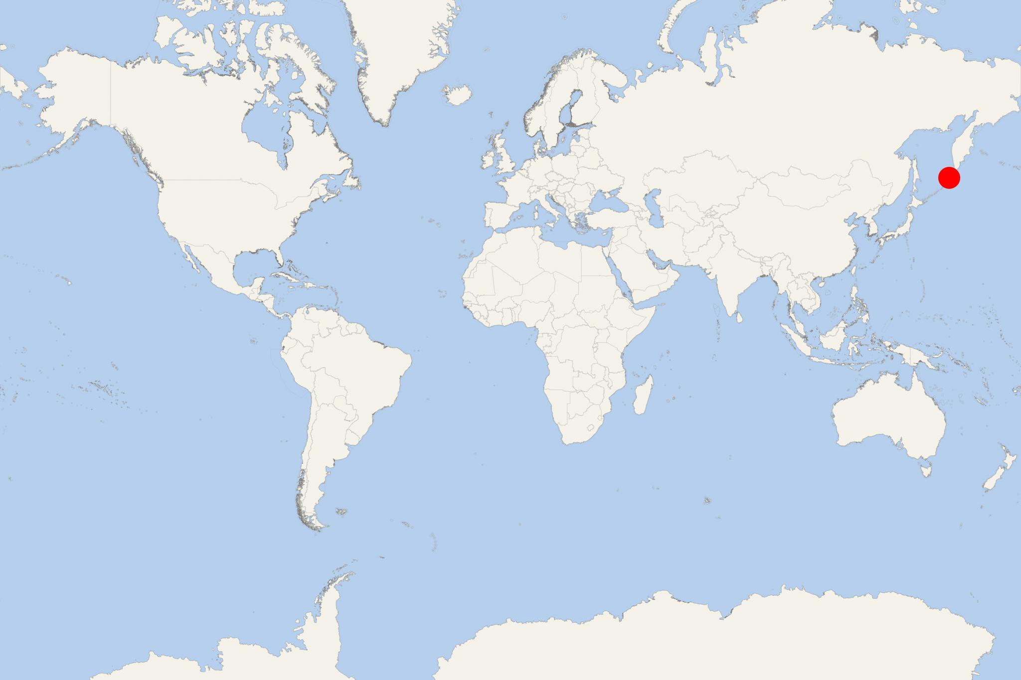
Onekotan Island is one of the uninhabited Kuril Islands in Sea of Okhotsk (northwest Pacific Ocean). The island covers a land area of approx 425 km2 (164 mi2). It is roughly rectangular, with length 43 km (26 mi) and width ranging 11-17 km (7-11 mi).
The island consists of 2 stratovolcanos linked by a flat isthmus with highest elevation point 1325 m (4347 ft) - the caldera at its southern end. Onekotan features shallow bays and sandy beaches. The island was first inhabited by Ainu people.
The island first appeared on maps showing Matsumae territories (feudal domain of Japan during the Edo period / 17th century). Subsequently, the island's sovereignty passed to Russia (1855) and then back to Japan (1875) together with the rest of Kuril islands.
After WW2 (1939-1945), Onekotan (and all Kuril islands) were annexed by USSR (Soviet Union) and today they are part of the Russian Federation's Sakhalin Oblast.

 51°F
51°F 
 Light breeze