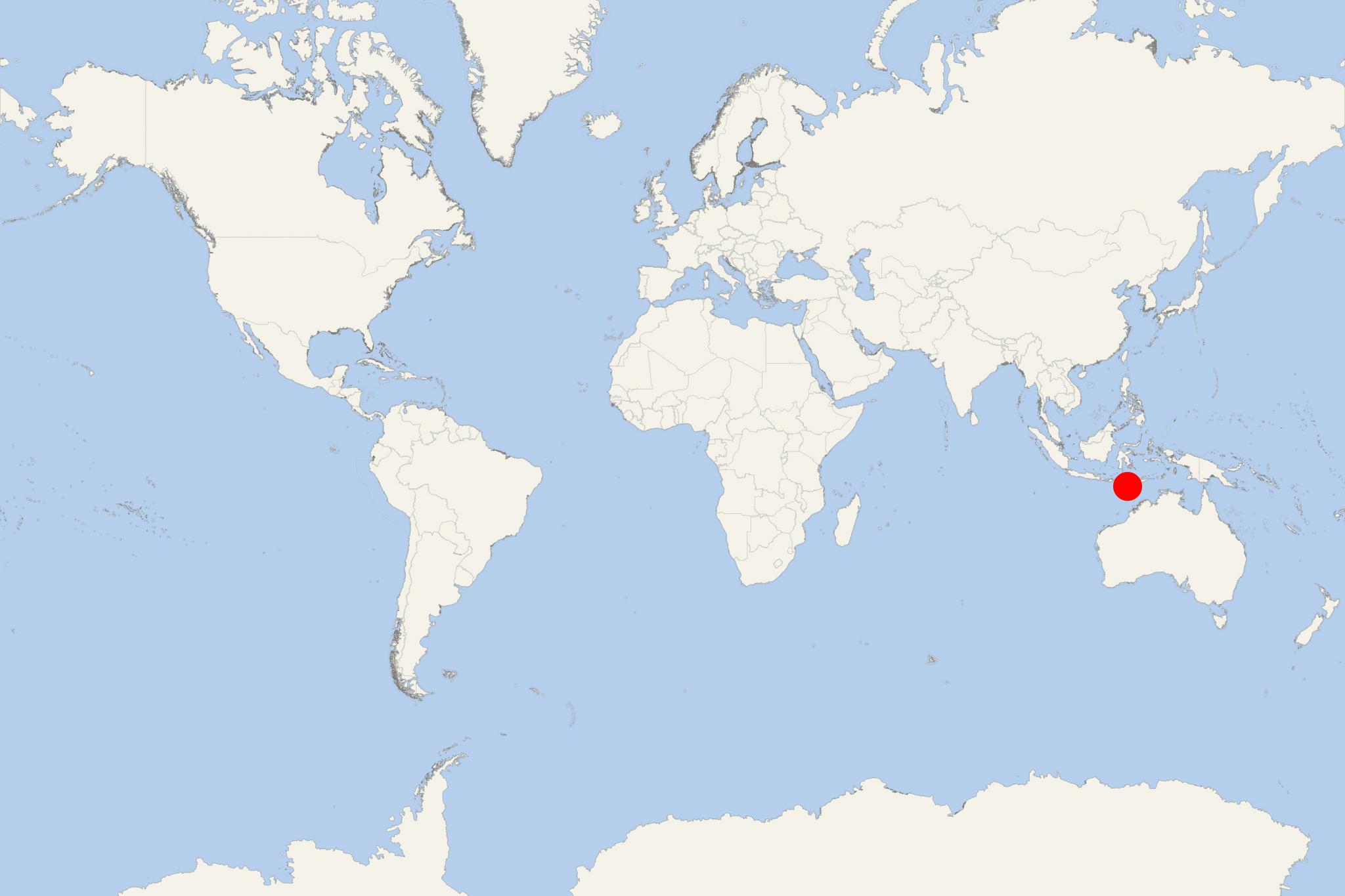
Pulau Savu Island Indonesia (East Nusa Tenggara)
Cruise Port schedule, live map, terminals, news
Region
Australia - New Zealand - Pacific Ocean Islands
Local Time
2025-09-14 04:52
 80°F
80°F 26.5°C

 Mod. breeze
6.9 m/s
 85 °F / 30 °C
 79 °F / 27 °C
Pulau Savu Island (aka Sabu, Sawu, Hawu, Havu) is the largest in a group of 3 islands located midway between Rote and Sumba, west of Timor (Indonesia). The island covers a total area of approx 380 km2 (147 mi2) and has population around 30,000.
Savu Islands (Kepulauan Sawu) include Savu (Rai Hawu), Rai Dana and Rai Jua. The three are fringed by amazing sandy beaches and coral reefs. The principal island is Rai Hawu. Rai Jua is west of Rai Hawu, while Rai Dana is uninhabited, located 30 km (19 mi) southwest of Rai Jua.
Most part the island is covered by palms and grassland. The climate is dry due to the hot winds blowing from Australia. Main rains fall between November-March.
Savu Islands are on a ridge created by volcanic eruptions generated by plate movements.
Ferries connect Savu islands to Kupang (West Timor) and Waingapu (Sumba). Domestic flights to Pulau Savu are available from Kupang.
In 1770, British Captain James Cook (1728-1779) visited Savu, staying 3 days before continuing to Batavia. It was the first-ever European voyage with scientists onboard. During the 3-year expedition, botanists collected over 3500 plant species plus specimens of animals, ethnographic materials and minerals.
An interesting fact is that Savunese have their own traditional greeting, done by pressing one's nose to another person at encounter (at the same time). It's used in all meetings among locals and on major ceremonies. The peculiar greeting serves a similar purpose to a handshake and is often used in conjunction with one.
