Sturgeon Bay WI (Wisconsin, Lake Michigan)
Cruise Port schedule, live map, terminals, news
Region
Canada and USA Rivers
Local Time
2026-02-21 22:57
 22°F
22°F -5.4°C

 Mod. breeze
5.7 m/s
 30 °F / -1 °C
 21 °F / -5 °C
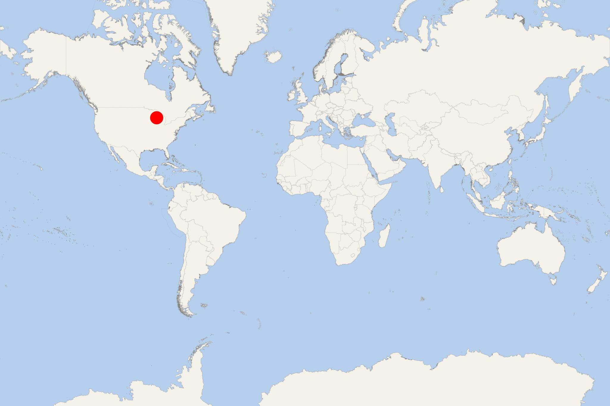
Sturgeon Bay is a Lake Michigan cruise port and city in Wisconsin USA (Door County) with population around 10,000. The city is approx 39 mi (62 km) north of Green Bay WI, approx 127 mi (204 km) north of Milwaukee WI, approx 170 mi (273 km) south of Houghton MI, and approx 290 mi (465 km) east of Minneapolis MN.
Sturgeon Bay Ship Canal (1881-opened, length 1,3 mi /~2 km, width 125 ft /38 m, depth 20 ft /6,1 m) has no locks. The Ship Canal connects Sturgeon Bay (an arm of Green Bay/waterway that extends approx 10 mi / 15 km into Door Peninsula) with Lake Michigan. The man-made extension of the waterway is regularly dredged/deepened (in 2016 was widened from 100 to 125 ft/30 to 38 m). The Canal links Lake Michigan directly with Green Bay without the need of passing the dangerous (especially during winter months due to strong winds and high waves) Porte des Morts strait (between Door Peninsula's northern's tip and Potawatomi Islands).
Port Sturgeon Bay (locode USSUE) has capacity to handle vessels with max LOA length 1007 ft / 307 m and max DWT weight 64460 tonnes. The Port also houses the USCG Station Sturgeon Bay (1886-built, operational since 1902) on Lake Michigan and the Ship Canal. The facility is located just outside the city (within the Port) and includes in its premises the Sturgeon Bay Canal Lighthouse (1899-built, at the Ship Canal's south entrance) and a large drydocking facility (shipbuilding and repair yard). The Port serves various types of vessels, including passenger (cruise ships, sail yachts, pleasure boats) which dock at Graham Park.
Sturgeon Bay Bridge (1931-opened, length 1420 ft (430 m) is a historic bridge (2008-listed) in downtown Sturgeon Bay. For three years (2008-2011) the Historic Sturgeon Bay Bridge was closed for restoration and its traffic was allocated to the new (running in parallel/2-lane) Michigan Street Bridge. Since 2011, both bridges (the old and the new one) operate as one system, carrying Michigan Street (links highway WIS-57 to Third Avenue/CBD) with daily traffic ~6000 vehicles.
Highway WIS-42 connects the city with Egg Harbor, Fish Creek, Sister Bay, Ellison Bay, Gills Rock, also with Algoma, Kewaunee, Two Rivers, and Manitowoc. Highway WIS-57 connects to Green Bay, Baileys Harbor and Jacksonport. Door County Cherryland Airport (approx 2,5 mi / 4 km west of downtown) is used mainly for general aviation/civil aircraft (97%), also by air taxis (2%) and the US military aircraft (1%).
The city has 20 nature parks (total size ~122 acres / 49+ hectares) of which the most visited is Big Hill Park (13,2 acres), while the largest is Sunset Park (44 acres/the largest). Outdoor activities include camping, picnicking, mountain biking, scenic trailing (Ahnapee State Trail, Ice Age Trail), walking, sledding. Annually (since 2005), the city hosts the national Steel Bridge Songfest (4-day music festival followed by a 7-day songwriting workshop).
As one of the Great Lakes, Lake Michigan has surface area (22300 mi2/58000 km2), water volume (1180 mi3/4900 km3) max depth (925 ft/282 m), cities in Illinois (Chicago), Indiana (Gary), Wisconsin (Green Bay, Sheboygan, Milwaukee, Kenosha, Racine) and Michigan (Muskegon, Traverse City).
- Cruise Industry

Victory Cruise Lines' 2026 season to feature new ports and itineraries
VCL-Victory Cruise Lines detailed its 2026 season, presenting 40 all-inclusive voyages that introduce new ports and itineraries, with a significant...
February 3, 2025 - Cruise Industry

Victory Cruise Lines Cancels Stops in Wisconsin
Victory Cruise Lines canceled their 2018 visits to Wisconsin's port cities Green Bay and Sturgeon Bay. MS Victory II, the ship due to dock in...
February 26, 2018 - Cruise Industry

Green Bay to Become Port of Call
Green Bay and Sturgeon Bay are ports of call on a 9-night "Great Lakes Cruise" from Milwaukee WI to Windsor Ontario. The voyage is operated by...
February 14, 2018 - show more news
