

Admiralty Island (Alaska)
Cruise Port schedule, live map, terminals, news
 47°F
47°F 
 Light breeze
Port Admiralty Island cruise ship schedule shows timetable calendars of all arrival and departure dates by month. The port's schedule lists all ships (in links) with cruises going to or leaving from Admiralty Island, Alaska. To see the full itineraries (ports of call dates and arrival / departure times) and their lowest rates – just follow the corresponding ship-link.
| Day | Ship | Arrival | Departure |
|---|---|---|---|
| 17 May, 2027 Monday |  Safari Quest Safari Quest | ||
| 19 May, 2027 Wednesday | Safari Quest | ||
| 24 May, 2027 Monday | Safari Quest | ||
| 26 May, 2027 Wednesday | Safari Quest | ||
| 31 May, 2027 Monday | Safari Quest |
Admiralty Island is located in the Alaska's Alexander Archipelago. The island has length of 90 mi (140 km) and width of 25 mi (56 km), with a total land area of 1646 mi2 (4264 km2), ranking it the USA's 7th-largest and the word's 132th-largest. Its total population is around 700. The island is nearly cut in two by the Seymour Canal - an inlet with two large islands within it - Swan Island (north) and Tiedeman Island (south).
Admiralty is the second largest of Alaska's ABC Islands Alaska (Admiralty, Baranof, Chichagof). All three are located in the Alexander Archipelago and are part of the Tongass National Forest. Most of the islands' area is protected wilderness, with a minimal human presence on them. Most of the island is occupied by the "Admiralty Island National Monument" (protected wilderness). Another protected area is the Kootznoowoo Wilderness (rainforest). Both are among the world's best habitats for species like bald eagles, brown bears, Sitka deer (black-tailed). This island has North America's highest density of brown bears (over 1600).
The only settlement on the island is named Angoon (on the western coast). On the island, there are several public-use cabins maintained by the US Forest Service for recreational purposes. Cross Admiralty Canoe Route links all the island's lakes through a series of portages (carrying cargo or watercrafts over land).
Greens Creek is an underground mine (for gold, silver, zinc, lead) located on the island's northwest end (within the Admiralty Island National Monument). Mining operations started in 1989. Pack Creek Brown Bear Viewing Area (open during summer months) offers the opportunity to observe the bears in their natural habitat. Permits are required and can be obtained through the US Forest Service. Point Retreat Light (on the Mansfield Peninsula - the island's northern tip) is a lighthouse providing navigation aid through the Lynn Canal - a 90 mi (140 km) long artificial canal from Chilkat River to Chatham Strait and Stephens Passage.
The other (in the "USA top 10") largest Alaskan islands are Kodiak, Prince of Wales, Chichagof, St Lawrence, Admiralty, Nunivak, Unimak, and Baranof.
Chatham Strait
Chatham Strait is a narrow waterway (passage) in the Alexander Archipelago that separates Baranof Island and Chichagof Island (to the west) from Kuiu Island and Admiralty Island (to the east).
Chatham Strait has length 240 km (150 mi) and width 5-16 km (3-10 mi), extending southwards from the junction of Lynn Canal and Icy Strait to the open sea.
Admiralty Island cruise terminal
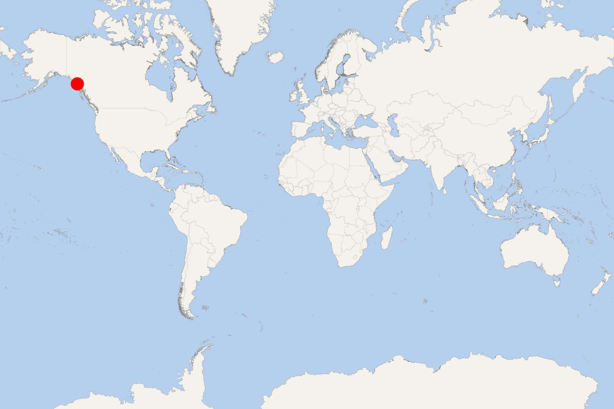
Cruise ships to Admiralty Island dock (anchor) at Angoon - port town (and the island's only settlement) located on the western coast.
Admiralty Island is primarily a wilderness expedition call rather than a conventional Alaska cruise port. There is no fixed cruise terminal with shops, taxis and tour desks. Small expedition ships normally anchor and use their own launches or skiffs, and the exact landing area can vary with the itinerary, tides, weather and wildlife conditions.
Independent sightseeing: Limited; organized or ship-led activities recommended. The main reasons to come ashore are guided hiking, kayaking, skiff exploration and wildlife viewing. Much of the island is remote bear habitat with no road access or visitor infrastructure.
At a Glance
- Typical access: Anchor call with passengers transferred by ship's launch or expedition skiff.
- Cruise terminal: None in the wilderness areas.
- Main experience: Temperate rainforest, remote bays, kayaking, hiking and wildlife watching.
- Walking independently: Generally unsuitable at wilderness landings. Follow the expedition team's instructions.
- Angoon: The island's main community, but passengers should not assume that every Admiralty Island call includes a landing there.
Getting Ashore
Admiralty Island calls can differ substantially from one sailing to another. Expedition itineraries may use locations such as Whitewater Bay or another suitable sheltered bay rather than a permanent passenger pier. Captains may alter the day's destination according to sea conditions, tides and wildlife activity.
At a wilderness landing there are no taxis, buses or rental cars. Transportation and equipment are normally provided as part of the ship's expedition program. Passengers should use the actual daily program rather than the mapped port position to determine where they will go ashore.
Best Ways to Spend the Call
Guided Wilderness Hike
A guided forest or shoreline walk is one of the most practical activities when conditions permit. Expect dense Tongass rainforest, streams, tidal shorelines and uneven ground rather than maintained urban paths. Routes are normally selected on the day by expedition staff.
Allow: Roughly 1.5–3 hours, depending on the landing and route. Waterproof footwear and rain protection are important. Independent hiking away from the group is not advisable because Admiralty Island is major brown bear habitat.
Kayaking or Skiff Exploration
Sheltered bays and inlets are well suited to ship-operated kayaking and small-boat exploration. This gives passengers access to shorelines that cannot be reached by road and provides opportunities to look for eagles, marine mammals and other wildlife.
Allow: Around 1.5–3 hours. Conditions can change quickly, so routes and even whether kayaking operates are normally decided by the expedition team on the day.
Wildlife and Bear Watching
Brown bears are the island's best-known wildlife attraction, particularly around salmon streams later in summer. Sightings remain unpredictable and should never be expected or approached independently. The safest and most practical option during a cruise call is wildlife observation with the ship's naturalists from a skiff, shoreline viewing position or the vessel itself.
Pack Creek Bear Viewing Area
Pack Creek is a regulated bear-viewing area elsewhere on Admiralty Island. It has no road connection and is reached by boat or floatplane. Visitor access is permit-controlled and there are no normal tourist facilities at the site.
Although Pack Creek is one of Admiralty Island's major attractions, it should not be treated as an independent side trip from an expedition landing. Visit only when specifically arranged in advance as part of an appropriate permitted tour or cruise program.
If Your Ship Lands in Angoon
Angoon is a small Tlingit community on the west side of Admiralty Island. A town landing is very different from a wilderness expedition stop, so first confirm that Angoon is actually included in the day's program.
If passengers are put ashore near the village, exploring on foot is practical. Angoon also has a self-guided audio walking tour covering approximately 2.1 km (1.3 mi) and taking about 45 minutes at a steady sightseeing pace.
Short Angoon Village Walk
- Start at the ship's confirmed village landing or drop-off point.
- Follow the waterfront through the settled part of Angoon.
- Look for the community's clan totem poles and local artwork.
- Continue through the Front Street area.
- Pass the Angoon Trading Post and nearby village buildings.
- Return by the same local streets to the ship's designated pickup point.
Distance: Approximately 2.1 km (1.3 mi) for the established audio-tour circuit. Recommended time: 1–1.5 hours with pauses. Difficulty: Easy to moderate, with local roads and potentially wet or uneven surfaces.
Angoon is a living Tlingit community rather than a purpose-built cruise attraction. Respect private property, local activities and any areas identified as culturally sensitive or closed to visitors.
Practical Tips
- Expect the day's landing site and activities to remain flexible until conditions are assessed.
- Bring waterproof outer layers and footwear suitable for mud, wet vegetation, rocks and tidal shoreline.
- Do not walk alone into forest or along salmon streams. Follow all bear-safety instructions from guides.
- Mobile coverage and visitor facilities can be limited or absent at wilderness landings.
- Do not arrange independent transport based solely on the port map; confirm the actual landing location with the ship.
- If visiting Angoon independently during a town landing, follow the ship's stated last-boat time and return to the pickup point well in advance.