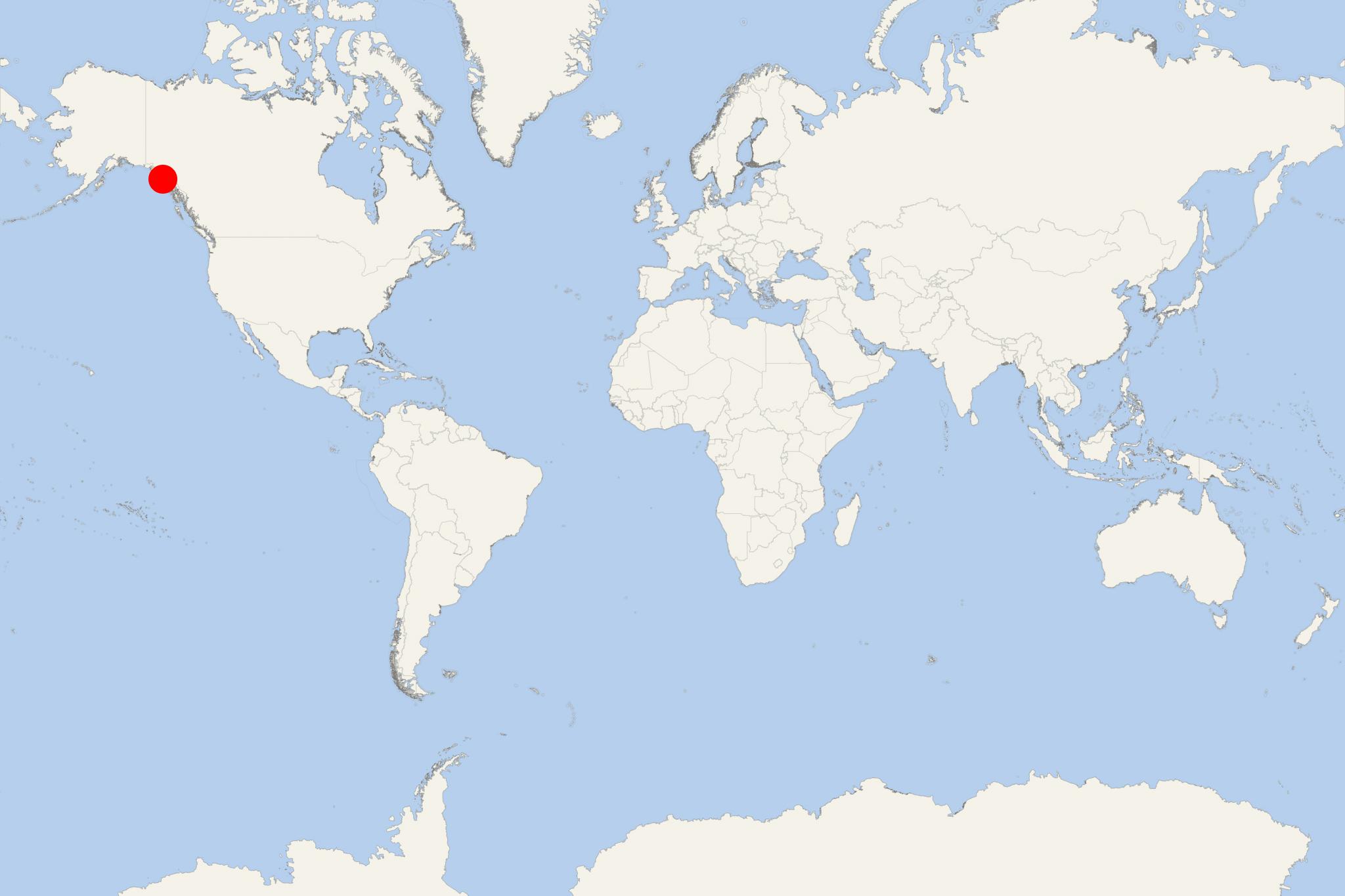
Chichagof Island (Alaska, Elfin Cove-Pelican)
Cruise Port schedule, live map, terminals, news
Port Chichagof Island cruise ship schedule shows timetable calendars of all arrival and departure dates by month. The port's schedule lists all ships (in links) with cruises going to or leaving from Chichagof Island, Alaska, Elfin Cove-Pelican. To see the full itineraries (ports of call dates and arrival / departure times) and their lowest rates – just follow the corresponding ship-link.
| Day | Ship | Arrival | Departure |
|---|---|---|---|
| 21 April, 2026 Tuesday | |||
| 23 April, 2026 Thursday | |||
| 30 April, 2026 Thursday | |||
| 30 April, 2026 Thursday |
Chichagof Island (aka Shee Kaax) is located in Alaska's Alexander Archipelago. The island has length 75 mi (121 km) and width of 50 mi (80 km), with a total land area of 2049 mi2 (5306 km2), ranking it the USA's 5th largest and the word's 109th largest. Its coastline is 742 mi (1194 km). Its total population is around 1,500. This Alaskan Island has the world's highest population of bears (brown bears) per mi2.
Chichagof is the largest of Alaska's ABC Islands Alaska (Admiralty, Baranof, Chichagof). All three are located in the Alexander Archipelago and are part of the Tongass National Forest. Most of the islands' area is protected wilderness, with a minimal human presence on them. Chichagof is located directly north of Baranof, both being separated by the Peril Strait. Chichagof is bounded to the east by Chatham Strait, to the northeast by Icy Strait, to the northwest by Cross Sound and to the west by Gulf of Alaska.
The other (in the "USA top 10") largest Alaskan islands are Kodiak, Prince of Wales, Chichagof, St Lawrence, Admiralty, Nunivak, Unimak, and Baranof.
Chichagof Island's communities are named Elfin Cove, Hoonah, Pelican and Tenakee Springs. They all are located on the island's northern half. The primary economic sources for these villages include commercial fishing, charter fishing tours, boating, guided hunting tours, hiking, logging.
Hoonah (aka Xunaa) is located 30 mi (48 km) west of Juneau, across the Alaskan Inside Passage. Hoonah is the island's "first-class city", with a population of around 1000. Elfin Cove (in the northwestern part) has population of around 50 people. Pelican ((in the northwestern part) has population of around 200 people. The village is Pelican is located on the Lisianski Inlet's east side. The inlet opens into Lisianski Strait and Cross Sound. Tenakee Springs (in the western part) has population of around 100 people. The village is served by the Tenakee Seaplane Base (state-owned) and the Alaska Marine Highway (state-owned).
Tenakee Seaplane Base serves an average of 54 aircraft operations (to and from Juneau AK) per month, of which around 80% are air taxis.
Alaska Marine Highway is headquartered in Ketchikan AK and provides ferry services between the Aleutian Islands, Alaskan Inside Passage and British Columbia (Canada). Ferries serve Southeast Alaskan communities without road access. They transport passengers, vehicles and cargo. The operated routes go as far south as Bellingham WA and Dutch Harbor (Amaknak Island). There are a total of 32 ferry terminals in the three states (Alaska, Washington and BC Canada). Due to the large distances between the ports, most ferries are built for multiple (up to 3-day) itineraries and larger ships have passenger cabins. All ferries have solariums, showers, sleeping lounges and serve hot food and beverages.
Point Adolphus (Gustavus) is located on the island's northernmost tip. This is a well-known viewing area for watching humpback whales. They come here in the summer from Mexico and Hawaii to feed. Point Adolphus' coastline is also perfect for sighting orca whales, sea lions, porpoises and various seabirds. Besides wildlife watching, other popular tourist activities here are fishing, sea kayaking, camping.
Chatham Strait
Chatham Strait is a narrow waterway (passage) in the Alexander Archipelago that separates Baranof Island and Chichagof Island (to the west) from Kuiu Island and Admiralty Island (to the east).
Chatham Strait has length of 240 km (150 mi) and width of 5-16 km (3-10 mi), extending southwards from the junction of Lynn Canal and Icy Strait to the open sea.
Chichagof Island cruise terminal
Most cruise ships to Chichagof Island anchor at Point Adolphus, on the island's northern tip. This location is known as an excellent whale watching area. Humpback whales come here from Mexico and Hawaii in the summer to feed. On the coastline here can be also seen sea lions, orca whales, sea birds. Among the most popular activities, beside wildlife viewing, are sea kayaking, fishing and camping.
However, Chichagof Island's most prefered port is Hoonah - on the northeastern coast.
Rarely, ships visit Elfin Cove (on the northwestern coast).

 34°F
34°F 
 Light breeze