Admiralty Island (Alaska)
Cruise Port schedule, live map, terminals, news
Port Admiralty Island cruise ship schedule shows timetable calendars of all arrival and departure dates by month. The port's schedule lists all ships (in links) with cruises going to or leaving from Admiralty Island, Alaska. To see the full itineraries (ports of call dates and arrival / departure times) and their lowest rates – just follow the corresponding ship-link.
| Day | Ship | Arrival | Departure |
|---|---|---|---|
| 26 May, 2025 Monday |
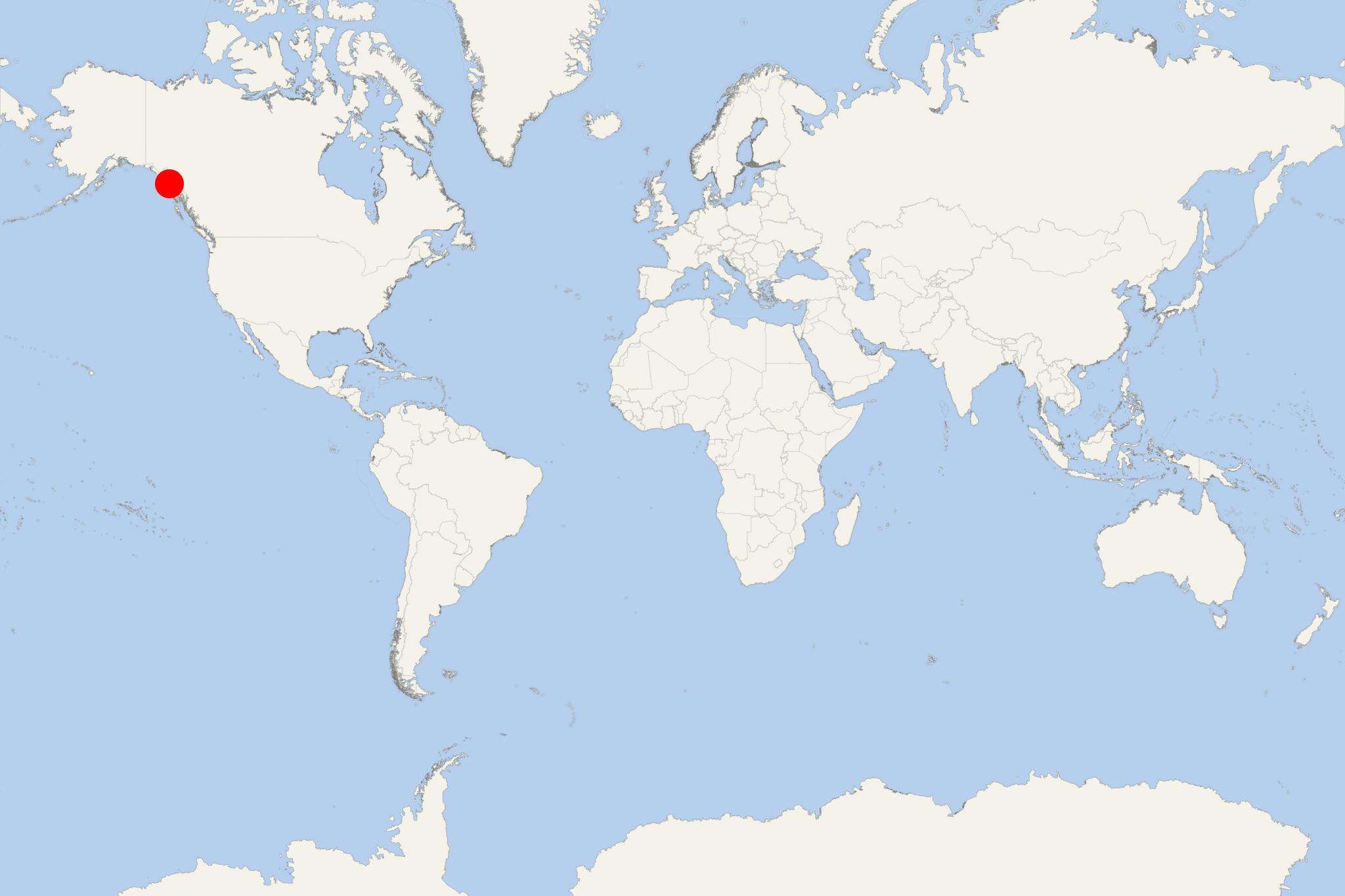
Admiralty Island is located in the Alaska's Alexander Archipelago. The island has length of 90 mi (140 km) and width of 25 mi (56 km), with a total land area of 1646 mi2 (4264 km2), ranking it the USA's 7th-largest and the word's 132th-largest. Its total population is around 700. The island is nearly cut in two by the Seymour Canal - an inlet with two large islands within it - Swan Island (north) and Tiedeman Island (south).
Admiralty is the second largest of Alaska's ABC Islands Alaska (Admiralty, Baranof, Chichagof). All three are located in the Alexander Archipelago and are part of the Tongass National Forest. Most of the islands' area is protected wilderness, with a minimal human presence on them. Most of the island is occupied by the "Admiralty Island National Monument" (protected wilderness). Another protected area is the Kootznoowoo Wilderness (rainforest). Both are among the world's best habitats for species like bald eagles, brown bears, Sitka deer (black-tailed). This island has North America's highest density of brown bears (over 1600).
The only settlement on the island is named Angoon (on the western coast). On the island, there are several public-use cabins maintained by the US Forest Service for recreational purposes. Cross Admiralty Canoe Route links all the island's lakes through a series of portages (carrying cargo or watercrafts over land).
Greens Creek is an underground mine (for gold, silver, zinc, lead) located on the island's northwest end (within the Admiralty Island National Monument). Mining operations started in 1989. Pack Creek Brown Bear Viewing Area (open during summer months) offers the opportunity to observe the bears in their natural habitat. Permits are required and can be obtained through the US Forest Service. Point Retreat Light (on the Mansfield Peninsula - the island's northern tip) is a lighthouse providing navigation aid through the Lynn Canal - a 90 mi (140 km) long artificial canal from Chilkat River to Chatham Strait and Stephens Passage.
The other (in the "USA top 10") largest Alaskan islands are Kodiak, Prince of Wales, Chichagof, St Lawrence, Admiralty, Nunivak, Unimak, and Baranof.
Chatham Strait
Chatham Strait is a narrow waterway (passage) in Alexander Archipelago that separates Baranof Island and Chichagof Island (to the west) from Kuiu Island and Admiralty Island (to the east).
Chatham Strait has length 240 km (150 mi) and width 5-16 km (3-10 mi), extending southwards from the junction of Lynn Canal and Icy Strait to the open sea.
Admiralty Island cruise terminal
Cruise ships to Admiralty Island dock (anchor) at Angoon - port town (and the island's only settlement) located on the western coast.

 43°F
43°F 
 Light breeze