

Aran Islands Ireland (Inishmore-Inishmaan-Inisheer)
Cruise Port schedule, live map, terminals, news
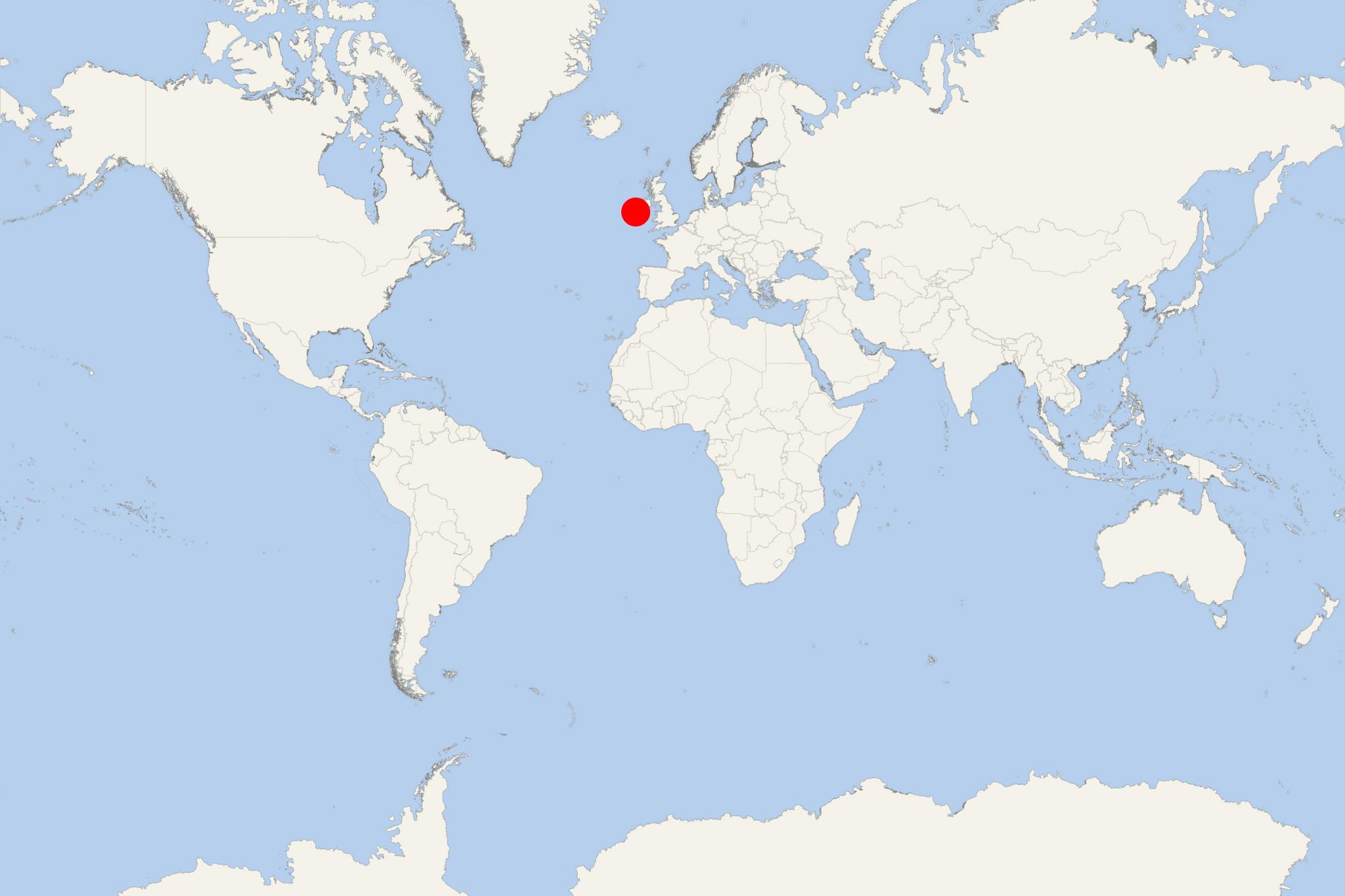
Region
Ireland - UK - British Isles
Local Time
2026-10-25 11:11
 52°F
52°F 11.3°C

 Near gale
16 m/s
 54 °F / 13 °C
 49 °F / 10 °C
Port Aran Islands Ireland cruise ship schedule shows timetable calendars of all arrival and departure dates by month. The port's schedule lists all ships (in links) with cruises going to or leaving from Aran Islands Ireland, Inishmore-Inishmaan-Inisheer. To see the full itineraries (ports of call dates and arrival / departure times) and their lowest rates – just follow the corresponding ship-link.
| Day | Ship | Arrival | Departure |
|---|---|---|---|
| 6 May, 2027 Thursday |  Silver Wind Silver Wind | 12:00 | 18:00 |
Aran Islands (Oileain Arann) aka The Arans are a group of three islands (part of Connacht Province's Galway County/central-western Ireland) located off the mainland's west coast, at Galway Bay's mouth (sea lough). The archipelago has total population under 1,500, total area approx 18 mi2 (46 km2) and includes Inishmore Island (Arainn/Inis Mor), Inishmaan Island (Inis Meain), and Inisheer Island (Inis Oirr), plus several small islets.
The Arans are served by regularly scheduled ferryboats (by Aran Ferries) departing from Rossaveal/Rossaveel (Galway County, which is The Arans' principal ferry port, located approx 23 mi/ 37 km to the west of Galway City) and from Doolin/Dulainn (Clare County). The Aran ferries are passenger-only (as opposed to Ro-Pax ships) as vehicles, wheeled cargo and heavy goods are shipped via unscheduled ferry services.
Aer Arann Islands provides regularly scheduled daily flights connecting Arainn/Inishmore with Connemara Airport in Inverin/Indreabhan.
Most cruise ships to Aran Islands visit Inishmore where they dock at or anchor off Kilronan (Cill Ronain) - a ferry port on the northeastern coast.
Inishmaan's ferry dock is on the northern coast.
The Arans are famous for the locals' strong Irish culture, amazing coastline scenery and numerous Pre-Christian era archeological sites. Inishmore's tourism industry is well-developed and based on bed-and-breakfast/B&B accommodation services as numerous cozy houses are scattered across the entire island. Transportation is based predominantly on private mini-buses. Other means of transportation (including for visiting tourists) are horse-drawn carriages and bicycles.
Inishmore Island (officially Arainn/aka Inis Mor) has land area approx 12 mi2 31 km2 and population around 800. By area Inishmore is also Ireland's second-largest - after Achill Island (Acaill, aka Oilean Acla) - 57 mi2/148 km2, with coastline 80 mi/128 km. Inishmore archeological sites include several prehistoric hill ringforts, the most popular/visited being Dun Aonghasa which is positioned at the edge of a 330-ft/100-m-high cliff.
The islands' landscapes feature limestone pavements, crisscrossing cracks/grykes and isolated rocks/clints (flat pavement-like slabs) making them among the world's most easily recognizable destinations with unique natural landmarks.
The Arans have a temperate climate, with average temperatures ranging between 59 F/15 C (July) and 43 F/6 C (January). The islands have one of Ireland's longest growing seasons supporting diverse and lush plants, with May being the best month for viewing flowers.
Inishmaan Island (Inis Meain) has land area approx 3,7 mi2/9,5 km2 (measuring 4x2,5 km/2,5x1,6 mi) and population around 200. Inishmaan's archaeological sites/tourist attractions include Carrownlisheen Wedge Tomb (gallery grave from the Neolithic/Early Bronze Age), three stone ringforts (Doonbeg, Dun Conor/Conchuir, Dun Fearbhai), three churches from the 8th-10th centuries (Templesaghtmacree, Labbanakinneriga, Kilcoonagh).
Inisheer Island (Inis Thiar/Oirthir) has land area approx 2,3 mi2/5,9 km2 and population around 300. Inisheer's main settlements are Baile Thiar (cruise and ferry port), Baile an tSeipeil/Chapeltown, Baile an Chaisleain/Castle Village, Baile an Fhormna, and Baile an Lorgain. Inisheer's archeological sites/tourist attractions include the stone fort Creggankeel (housing the Seven Daughters' Grave), the tumulus Cnoc Raithni, O'Brien's Castle (15th-century), two 6th-century churches (St Gobnet's, and Saint Caomhan's/St Cavan's).
At a Glance
Aran Islands cruise calls usually focus on Inis Mór, the largest island, with passengers normally brought ashore by tender near Kilronan. Confirm the actual landing island and final tender time onboard, as arrangements can change with the itinerary and sea conditions.
Independent with some planning or transport. Kilronan is easy to explore on foot, but the principal sights are spread across the island. A bicycle, e-bike, minibus tour or pre-arranged shore excursion is the practical choice for seeing Dún Aonghasa and the western sites during one call.
Getting from the Ship
- Tender landing: There is no conventional cruise terminal. On Inis Mór, tenders normally land around Kilronan harbour, directly beside the small village.
- On foot: Shops, cafés and the waterfront are close to the pier, but most major attractions are too distant for a casual walk.
- Local transport: Bicycle and e-bike hire, minibuses and pony-and-trap tours commonly operate from Kilronan. Availability can tighten when a cruise ship and regular ferry visitors arrive together.
- Car rental: Visitor car rental is not available, so do not plan to hire a car after landing.
Best Ways to Spend the Call
Minibus Tour of Inis Mór
Best for: first-time visitors, mixed-mobility groups and uncertain weather.
Typical island tours take about 3–4 hours and may include Dún Aonghasa, the Seven Churches, the seal-viewing area and stops along the limestone coast. This is the simplest way to cover the main sights without cycling. Check that the return time leaves a comfortable margin before the last tender.
Cycle to Dún Aonghasa
Best for: active visitors with at least 4–5 hours ashore.
Dún Aonghasa is approximately 7 km (4.3 mi) southwest of Kilronan. Cycling to the visitor centre can take around 30–45 minutes each way, depending on wind, fitness and stops. A scenic outing can also include the coastal road, the seal-viewing area and Kilmurvey Beach.
From the visitor centre, the fort is reached by a further 1 km (0.6 mi) uphill walk. The final section crosses rough natural rock. Strong footwear is advisable, and there is no barrier at the cliff edge. Allow roughly 1–1.5 hours for the visitor-centre stop and the walk to the fort.
Kilronan and the Eastern Side
Best for: a short call or passengers who prefer not to take a tour.
Stay near the landing point and explore Kilronan’s harbour, village lanes, craft shops and nearby shoreline. With additional time, walk or cycle toward Killeany for coastal scenery and early Christian remains. This is less comprehensive than an island tour but keeps the return to the tender straightforward.
The Wormhole
Best for: experienced walkers on a longer call.
This rectangular natural rock pool requires a walk across uneven, exposed limestone after reaching the surrounding area. The final approach generally takes about 15–20 minutes on foot. It is not a sensible addition to a rushed Dún Aonghasa visit, and extra caution is needed in rain, strong wind or heavy Atlantic swell.
Self-Guided Walking Tour
Kilronan and Lúb an Chorrúch Loop
This waymarked route begins and ends at Kilronan Pier and provides a practical longer walk for passengers who want scenery rather than a vehicle tour.
- Start at Kilronan Pier and pass through the village.
- Follow the blue-on-white waymarkers away from the harbour.
- Continue through the island’s limestone landscape and fields divided by dry-stone walls.
- Complete the inland and coastal sections of the loop.
- Return to Kilronan Pier by the marked route.
- Distance: 10.3 km (6.4 mi)
- Walking time: about 3 hours 20 minutes without lengthy stops
- Recommended total time: 4–4.5 hours
- Difficulty: Moderate, with approximately 160 m (525 ft) of ascent
- Terrain: Rural roads and paths; expect uneven, exposed sections and limited shelter
Attempt the full loop only when the tender schedule provides ample time. Otherwise, follow the route for a shorter out-and-back walk and turn around early.
Beaches and Coastal Scenery
Kilmurvey Beach is a worthwhile stop when travelling toward Dún Aonghasa. It works best as part of a bicycle, minibus or pony-and-trap itinerary rather than as a walk from Kilronan. The nearby seal-viewing area is tide-dependent; seals are often easier to see when exposed rocks are available around low tide.
Sea conditions can be cold and changeable even in summer. Treat beaches primarily as scenic stops unless conditions are clearly suitable.
Practical Tips
- Confirm whether the ship is landing at Inis Mór, Inis Meáin or Inis Oírr before following an island-specific plan.
- Bring a waterproof outer layer and secure hat; wind and showers can arrive quickly.
- Wear sturdy shoes for Dún Aonghasa, the Wormhole and longer walking routes.
- Allow more cycling time when riding into a strong headwind.
- Do not rely on immediately finding an available bicycle or minibus during a busy call.
- Return to Kilronan well before the ship’s stated last tender. Tender operations may take longer when seas are unsettled.