

Battle Harbour NL (Newfoundland-Labrador Canada)
Cruise Port schedule, live map, terminals, news
Region
East Coast USA and Canada New England
Local Time
2026-10-24 05:59
 33°F
33°F 0.6°C

 Gentle breeze
4.7 m/s
 49 °F / 10 °C
 31 °F / -0 °C
Port Battle Harbour NL cruise ship schedule shows timetable calendars of all arrival and departure dates by month. The port's schedule lists all ships (in links) with cruises going to or leaving from Battle Harbour NL, Newfoundland-Labrador Canada. To see the full itineraries (ports of call dates and arrival / departure times) and their lowest rates – just follow the corresponding ship-link.
| Day | Ship | Arrival | Departure |
|---|---|---|---|
| 1 October, 2026 Thursday |  Seabourn Venture Seabourn Venture | 07:00 | 17:00 |
| 3 October, 2026 Saturday |  MS Roald Amundsen MS Roald Amundsen | ||
| 4 October, 2026 Sunday |  Viking Polaris Viking Polaris |
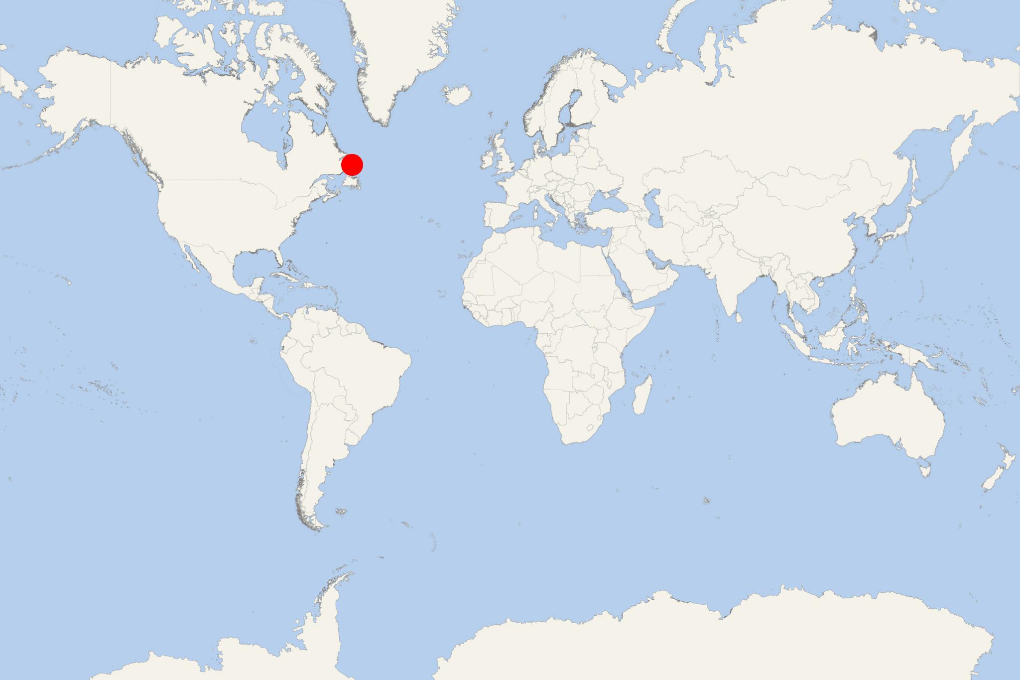
Battle Harbour (port locode CABHS) is a summer fishing port (station / former permanent settlement) located on Canada's Labrador coast (Newfoundland and Labrador).
For over 200 years, Battle Harbour was the economic and social centre of Labrador's southeastern coast. The settlement was established in the 1770s and developed into a prosperous port town that was popular as the "Capital of Labrador". Following reductions in cod fishery and a devastating fire in 1930, the town fell into decline. It was eventually abandoned as a permanent settlement following the 1960s government resettlement program.
Battle Harbour Historic Trust was granted all the fishing premises and other island properties. The trust has preserved and currently operates it as a museum. Battle Harbour facilities provide a commemoration of the society and life created during the 18th, 19th and 20th centuries. This site is declared a Canadian National Historic Site.
An interesting fact is that here in 1973, St John Ambulance originated its First Level Health Care Programme. The program was based on life-saving techniques and self-help health care to people in isolated settlements. It received international recognition and was implemented in more than 30 countries worldwide (including the Middle East, the Caribbean, the South Pacific, and Southeast Asia).
Tourist attractions in Battle Harbour include renovated houses, merchant buildings, and an early 19th-century wharf.
Battle Harbour is a remote, car-free historic settlement on Battle Island off the Labrador coast. Cruise visits are generally made by ship’s tender or expedition Zodiac, with passengers landing near the restored waterfront buildings. Once ashore, the settlement and its surrounding footpath can be explored entirely on foot.
Independent sightseeing with some planning: the compact historic district is easy to navigate independently, but uneven ground, changeable weather and the ship’s landing schedule require attention. A guided visit is worthwhile for understanding the buildings and the former fishing community.
Getting Ashore
- Landing: Ships normally anchor offshore and transfer passengers by tender or Zodiac. Follow the instructions given aboard, as the exact landing point and sequence depend on the ship and conditions.
- Walking: There are no roads or local vehicles on the island. Historic buildings stand close to the waterfront, while the longer footpath crosses rocky and grassy terrain.
- Weather: Wind, fog or rough water can delay, shorten or cancel landings. Wear layers and bring waterproof outerwear even when conditions initially appear settled.
- Accessibility: Uneven paths, rocks, slopes and building thresholds can make the visit difficult for passengers with limited mobility. Confirm assistance and landing arrangements with the ship before going ashore.
Best Ways to Spend the Call
Explore the Historic Waterfront
Allow about 1.5–2 hours to see the restored fishing premises, traditional wooden houses, stores, wharves and other buildings associated with Battle Harbour’s former salt-cod trade. Interpretation and building access may be organized as part of the ship’s visit rather than operating like a conventional walk-in museum.
Join a Guided Historical Tour
A local guided tour normally lasts approximately 1.5–2 hours and is the most informative way to understand how the fishing station worked and how families lived in this isolated settlement. Participation and timing should be confirmed through the cruise ship because services are seasonal and capacity is limited.
Walk the Battle Harbour Footpath
The official footpath is approximately 2 km (1.2 mi) and combines coastal scenery with historic sites, including the old cemetery. It is rated easy to moderate, but sections have rugged footing and switchbacks. Allow 1–1.5 hours and wear sturdy shoes or hiking boots.
Watch for Wildlife and Icebergs
The shoreline and higher ground provide opportunities to look for seabirds, whales, seals and, at certain times of year, icebergs. Sightings are never guaranteed. Bring binoculars and observe animals without leaving established paths or approaching wildlife.
Self-Guided Historic and Coastal Walk
Route: landing wharf → restored waterfront premises → traditional houses and community buildings → St. James the Apostle Church → old cemetery → coastal footpath and viewpoints → return to the waterfront.
- Distance: approximately 2 km (1.2 mi), depending on open buildings and short detours
- Pure walking time: about 35–45 minutes
- Recommended total time: 2–3 hours with building visits, interpretation and photography
- Difficulty: easy around the waterfront; easy to moderate on the outer footpath
- Terrain: boardwalks or worn paths near the settlement, followed by grass, exposed bedrock, slopes and switchbacks near the cemetery
Start with the waterfront buildings while they are accessible, then continue past the church and cemetery onto the marked footpath. Stay on the established trail or exposed bedrock to protect the island’s fragile plants. Turn back early if fog, rain or strong wind develops, and return directly to the landing area when the ship announces the final transfer.
Longer Excursions
Battle Harbour offers longer hikes and boat-supported outings elsewhere on Battle and Great Caribou islands, but these are generally unsuitable for an ordinary cruise call unless specifically arranged by the ship. The Great Caribou Island Traverse, for example, covers about 12 km (7.5 mi) and takes roughly 5–6 hours, leaving little flexibility for transfer delays or changing weather.
There are no conventional beaches, taxis, public buses or independently bookable sightseeing circuits waiting at the landing. Passengers should concentrate on the historic district and nearby walking trail unless their cruise itinerary includes a coordinated excursion.
Practical Tips
- Wear waterproof layers and shoes with good grip; paths can be wet, muddy or slippery.
- Bring water, sun protection and any essential medication. Visitor facilities are limited and seasonal.
- Do not plan to take the regular passenger ferry to Mary’s Harbour during a cruise call; it is intended for visitors travelling to and from the island, not for short independent shore trips.
- Allow extra time for the return tender or Zodiac transfer and follow the ship’s stated final-boarding time rather than estimating from the published departure time.