

Buccaneer Archipelago (Kimberley, Western Australia)
Cruise Port schedule, live map, terminals, news
Region
Australia - New Zealand - Pacific Ocean Islands
Local Time
2026-09-19 01:02
 79°F
79°F 26.3°C

 Light breeze
2.9 m/s
 82 °F / 28 °C
 79 °F / 27 °C
Port Buccaneer Archipelago cruise ship schedule shows timetable calendars of all arrival and departure dates by month. The port's schedule lists all ships (in links) with cruises going to or leaving from Buccaneer Archipelago, Kimberley, Western Australia. To see the full itineraries (ports of call dates and arrival / departure times) and their lowest rates – just follow the corresponding ship-link.
| Day | Ship | Arrival | Departure |
|---|---|---|---|
| 2 June, 2026 Tuesday |  Silver Cloud Silver Cloud | 07:00 | 03 Jun, 12:00 |
| 5 June, 2026 Friday | Silver Cloud | 13:00 | 06 Jun, 18:00 |
| 15 June, 2026 Monday |  Seabourn Pursuit Seabourn Pursuit | 01:00 | |
| 19 June, 2026 Friday | Silver Cloud | 07:00 | 20 Jun, 13:00 |
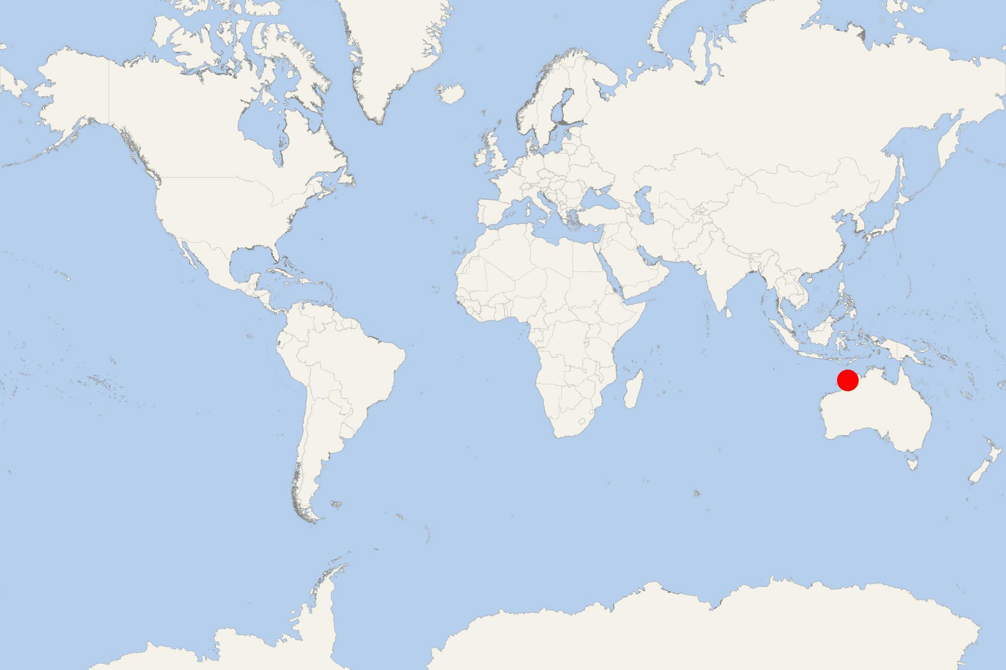
Buccaneer Archipelago is an island group located off the Kimberley coast of Western Australia (close to Derby WA). Its nearest inhabited settlement is Ardyaloon (aka Bardi), approx 54 km (34 mi) from the western end of the island group, and approx 2450 km (1522 mi) north of Fremantle-Perth.
The most visited by cruise ships destinations in the Buccaneer Archipelago are Talbot Bay, the Horizontal Waterfalls, Nares Point and the Iron Islands (Ironman's Bay in Sunset Sea/off Westeros).
Next photo shows Irvine Island.
The Archipelago covers over 50 km2 (19 mi2). It lies at King Sound's head and is composed of nearly 800 islands located between King Sound and Collier Bay close to Yampi Sound. The region experiences a huge tidal range of over 12 m (39 ft), which in the 20th century devastated the local pearling fleet.
Buccaneer islands are generally rocky, with many featuring high cliffs. The isles are in almost pristine condition due to their isolation and hard access. Some of them are sparsely vegetated with rain-forest areas and mangroves-fringed patches with built-up silt. The traditional owners of the islands are Mayala (Unggarranggu and Yawijibaya) peoples, although Bardi people own traditional fishing rights.
The archipelago was named in 1820 after William Dampier (1651-1715) - English privateer and buccaneer who in 1688 mapped the area. The name was given by Philip Parker King (1791-1856, explorer of the Australian and Patagonian coasts).
Next photo shows Margaret Island.
Talbot Bay was formed when the Kimberley continent collided with Australia. The collision caused massive heating along the contact's boundaries and the Kimberley region was thus created. The massive geological buckling produced spectacular folds in and around Talbot Bay, which is also the site of the Horizontal Waterfalls, found about 32 km (20 mi) to the east of Cockatoo Island (Buccaneer Archipelago).
The unique waterfall effect is created by the quick tidal fall on the ocean-side of cliffs' gaps. On the inland side of the gaps waters can't escape fast enough and the cascades create a ‘'horizontal waterfall''. When the right conditions exist, it is possible to be up to a 10 m (33 ft) high "waterfall" as waters trapped on landward side cascade out via the narrow gap to the ocean side.
The Horizontal Falls (nicknamed "Horries") formed from a break in-between McLarty Ranges (reaching up to 25 m / 82 ft in width). The natural phenomenon is activated as seawater builds up more quickly on one side of the gaps. Within each tide's change the direction of the fall reverses and creates huge tidal whirlpools. Within this region live the indigenous tribes of Bardi Jawa, Balangarra, Dambimangari and Uunguu people.
The Buccaneer Archipelago is a remote expedition-cruise destination on Western Australia’s Kimberley coast. A visit is about exploring islands, bays and tidal waterways rather than walking into a port town.
Independent sightseeing limited. Plan to join the ship’s guided boat outings and any approved shore landings. The exact anchorage, activities and landing sites depend on your itinerary, tides, weather and access permissions.
Getting Ashore
Treat this as an expedition stop rather than a conventional terminal call. Ships generally explore from offshore anchorages, using expedition boats for sightseeing and landings where conditions permit. Some visits may consist entirely of scenic cruising.
There is no practical town-center walking route or public-transport connection from an island landing. Confirm whether your visit includes a boat outing, a beach landing or simply cruising through the archipelago.
Best Ways to Spend Your Time
Guided Boat Exploration
A small-boat outing is the most practical way to appreciate the sandstone islands, secluded bays and tidal channels. Look for coastal birdlife and photograph the contrast between rocky shores and the surrounding water. Wildlife sightings are not guaranteed.
This usually involves little walking, but boarding a moving boat and sitting through spray or choppy water can be demanding. Ask the expedition team about boarding assistance and the expected outing length.
Horizontal Falls and Talbot Bay
If Talbot Bay is included in your itinerary, a guided visit can reveal the powerful tidal flow through narrow gaps in the coastal ranges. The effect changes with the tide, so the expedition team’s timing matters more than a fixed sightseeing schedule.
Do not assume that a visit includes travelling through the gaps. Confirm the current experience with your operator; sightseeing arrangements and permitted activities can change. Talbot Bay is a separate expedition location, not an attraction accessible on foot from any archipelago anchorage.
A Guided Beach Landing
Some itineraries include Silica Beach on Hidden Island, known for its white sand. If a landing is offered, use the time for a short guided beach walk, photography and observing the shoreline.
Walking on soft sand is more tiring than walking on pavement, and disembarkation may involve stepping into shallow water. Follow the crew’s footwear instructions. A beach landing does not imply that swimming is permitted.
Scenic Cruising from the Ship
Remaining aboard is a useful option if boat transfers or uneven ground are unsuitable. An open deck offers views of island passages and changing coastal scenery without a shore landing. Bring binoculars and listen to any expedition commentary to understand the route and tidal conditions.
Walking and Shore Access
A fixed self-guided walking tour is not appropriate here. Landing locations vary, and beaches, rocky slopes and culturally sensitive places should only be explored within the area approved by your guides.
Before joining a walk, ask about its duration, shade, loose rocks and any climbing. Stay with the group and respect Traditional Owners’ access requirements; do not enter cultural sites or touch rock art without permission.
Practical Tips
- Follow water-safety instructions: saltwater crocodiles occur in the Kimberley, and tidal currents can be powerful. Do not swim, wade or approach the water independently.
- Prepare for heat and exposure: carry drinking water, a hat and sun protection. Use secure footwear suited to the announced landing conditions.
- Protect equipment: a waterproof bag is useful for cameras and phones during small-boat transfers.
- Check physical requirements: boat boarding, wet landings and soft sand may limit participation even on outings described as easy.
- Keep to the expedition schedule: return to the designated pickup point at the time set by the crew. Changing tides can affect landing access and boat transfers.